
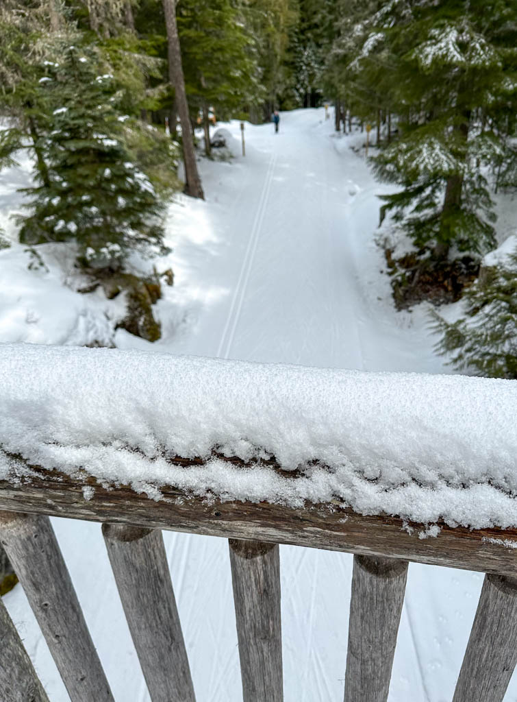
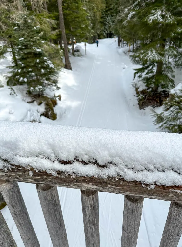
If you’re looking for an easy place to go snowshoeing in Whistler, head to Lost Lake Park. The Lost Lake Snowshoe Trails are a short walk from the village. The network of trails includes gorgeous forest, a lake, a unique bridge, and a beautiful viewpoint.
In the summer, Lost Lake Park is Whistler’s go-to destination for swimming, hiking, and biking. But in the winter those trails transform into a winter wonderland for skiers and snowshoers.
As a local (I live in nearby Squamish), the Lost Lake Snowshoe Trails are one of my picks for the best places to snowshoe in Whistler because they are so easy to get to. I also like that the terrain is beginner-friendly.
In this post you’ll find:
- Lost Lake snowshoeing basics: Info about trail distances, tickets, rentals, and lots more
- A snowshoe trail map that shows the entire trail network
- Detailed driving directions and instructions on where to park
- Step-by-step directions for my recommended snowshoe loop around the park. It includes an incredible viewpoint that many miss.
Psst: Looking for a full list of Whistler activities? Check out my list of the best things to do in Whistler in winter for non-skiers.
This is a sensitive wilderness area. Learn how to Leave No Trace to keep the wilderness wild. Make sure you are prepared by bringing the 10 Essentials. Get ready for adventure with this checklist of things to do before every hike.

Lost Lake Snowshoeing Basics
Distance: Up to 15 km (but I recommend a 9km route and shorter loops are possible)
Elevation Gain: 100 m
Duration: Easy/Moderate
Avalanche Hazard: None. The trail does not pass across or below any slopes that can slide.
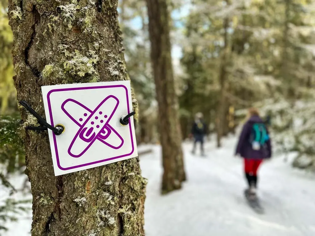
Dogs: Not allowed.
Tickets: $12/Adult, $7.25/youth, $6/child, $24/family. There are also deals for 5- and 10-ticket packs or season passes.
Snowshoe Rentals: $20
Hours: 8 a.m. to 8 p.m. daily between December and March
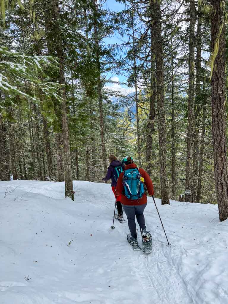
The trails at Whistler’s Lost Lake Park are the closest place to Whistler village to go snowshoeing. The trail network is fairly flat and well-signed, so it’s a great place for beginners.
The snowshoe trails are interwoven with a larger network of cross-country ski trails. Lost Lake Park is a Muncipality of Whistler Park and a popular hiking, mountain biking, and beach destination in the summer. In the winter, you must have a pass and only snowshoer and cross-country may use the trails.
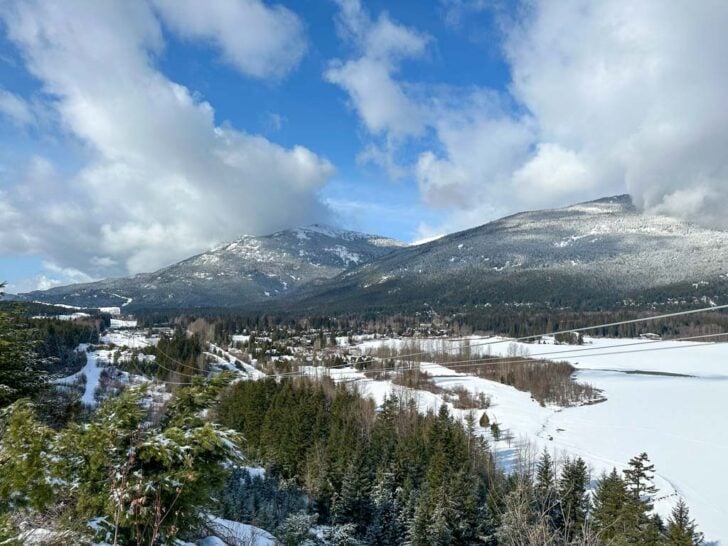
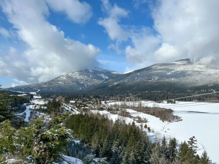
In the middle of winter, and in heavy snow years, there is lots of snow. However, the trails are located 700 m above sea level, which is a little low for snowshoeing in this part of BC. That means that the snow is often not very deep and can be icy.
The trails are open from December to March with the best conditions from mid-January to late February.
However, when I have snowshoed at Lost Lake in mid-March in a low(ish) snow year, and still had a good time. Even in icy conditions, the terrain is still pretty – that’s when the photos in this post where taken.
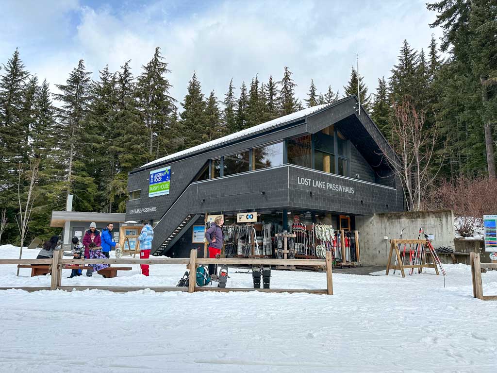
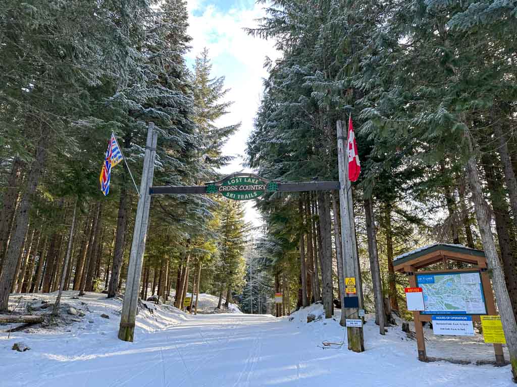
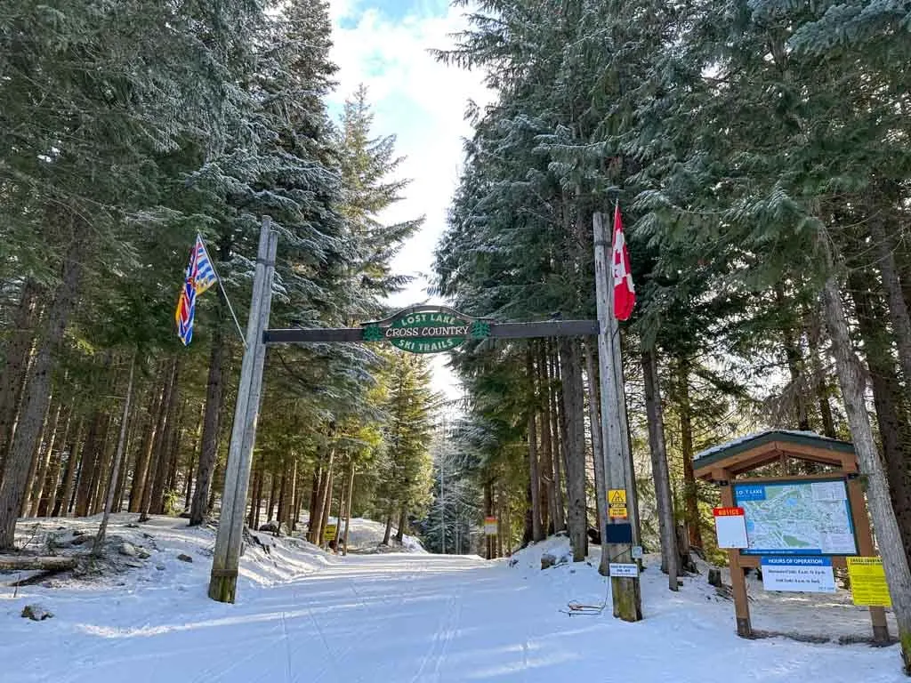
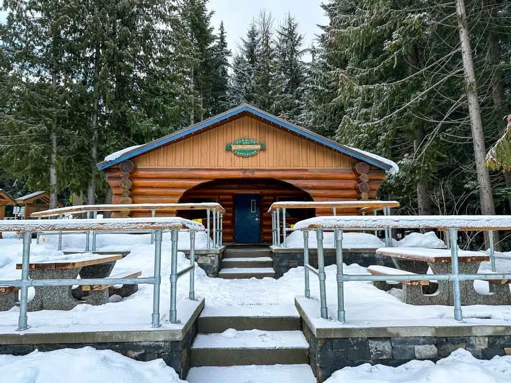
The entrance to the park is at the Passivhaus, an eco-friendly building originally constructed as the Austrian pavilion during the 2010 Olympics. Today it is the ticket booth, rental shop, and cafe for the trail system. There is also a lunch room upstairs if you bring your own food.

The Lost Lake Snowshoe Trails are located on the traditional territory of the Squamish, Lil’wat, and St’at’mic Indigenous peoples. To learn more about the Indigenous context of the area, visit the Squamish Lil’wat Cultural Centre in Whistler.
For more info about the Lost Lake Snowshoe Trails, see the Whistler Municipality website.
READ NEXT: Snowshoeing Safety: 14 Ways to Get into Trouble and How to Prevent Them
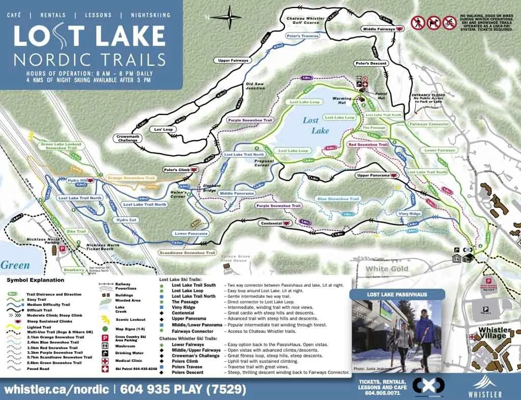
Lost Lake Snowshoeing Map
There is a good map at the trailhead and at all major junctions. When you buy your trail tickets you also get a paper map. The trails are also well marked with trail markers every few minutes so it’s easy to stay on track.

I’ve also included a copy of the snowshoe trail map here so you can plan ahead.

How to Get to the Lost Lake Snowshoe Trails
Driving: Take Highway 99 to Whistler. Turn right off the highway onto Lorimer Way. A few blocks later, just after crossing Blackcomb Way, turn right into the parking lot, following the signs for the Day Lots.
Once you are in the parking lot, continue for a few meters, then turn left at the sign for Lot 5.
Click here for Google Maps Driving Directions to the parking area for the Lost Lake Snowshoe Trails.
Parking: Park on the east side of Day Lot 5. As of 2023, the rate is $2.50/hour or $8/day. You can pay at stations in the parking lot or by phone. You will need your licence plate number to pay. More info about parking in Whistler.
From the parking area, find the Valley Trail at the far (east) end of the parking lot. Follow the trail to the left under the highway overpass, then over a bridge across Fitzsimmons Creek to the Passivhaus and the start of the trails. The distance from the parking lot to the Passivhaus is 200 m.
Walking: If you are already in Whistler Village, it’s a short walk to the start of the Lost Lake Snowshoe Trails. The easiest way to get there is to head to the north part of Whistler Village to the Olympic Rings.
From there, go east along the stream beside the Brewhouse, then cross Blackcomb Way in front of the Audain Museum. Go right around the museum and pick up the Valley Trail beside the skate park. Go left on the Valley Trail and stay on it as it goes beneath a road underpass and then over a bridge to the Passivhaus. It is a 600 m walk from the Olympic Rings.

Join: Snowshoeing in Vancouver Facebook Group
Lost Lake Snowshoe Loop
There are 15 kilometres of snowshoe trails at Lost Lake, so you might be wondering which trails are the best. I’ve designed a loop route that includes the best scenery in the park and takes 2.5-3.5 hours.
The route is 9 km long and includes about 100 m of net elevation gain. However, the total elevation gain is about 500 m since you go up and down tons of little hills.
If you want to make the loop a bit shorter, skip the Green Lake Lookout section. This will knock 3.3 km off your total distance and make your hike about an hour shorter.
I’ve got step-by-step directions below, but in summary, this route follows the following trails:
- Right (south) fork of the Red Trail,
- Purple Trail,
- Orange Trail,
- Green Trail to Viewpoint and back to Orange Trail,
- Purple Trail,
- Right (west) fork of Blue Trail,
- Red Trail.
The route starts at the Passivhaus. Walk under the arch at the entrance to the park, then immediately turn right on the Red Trail.
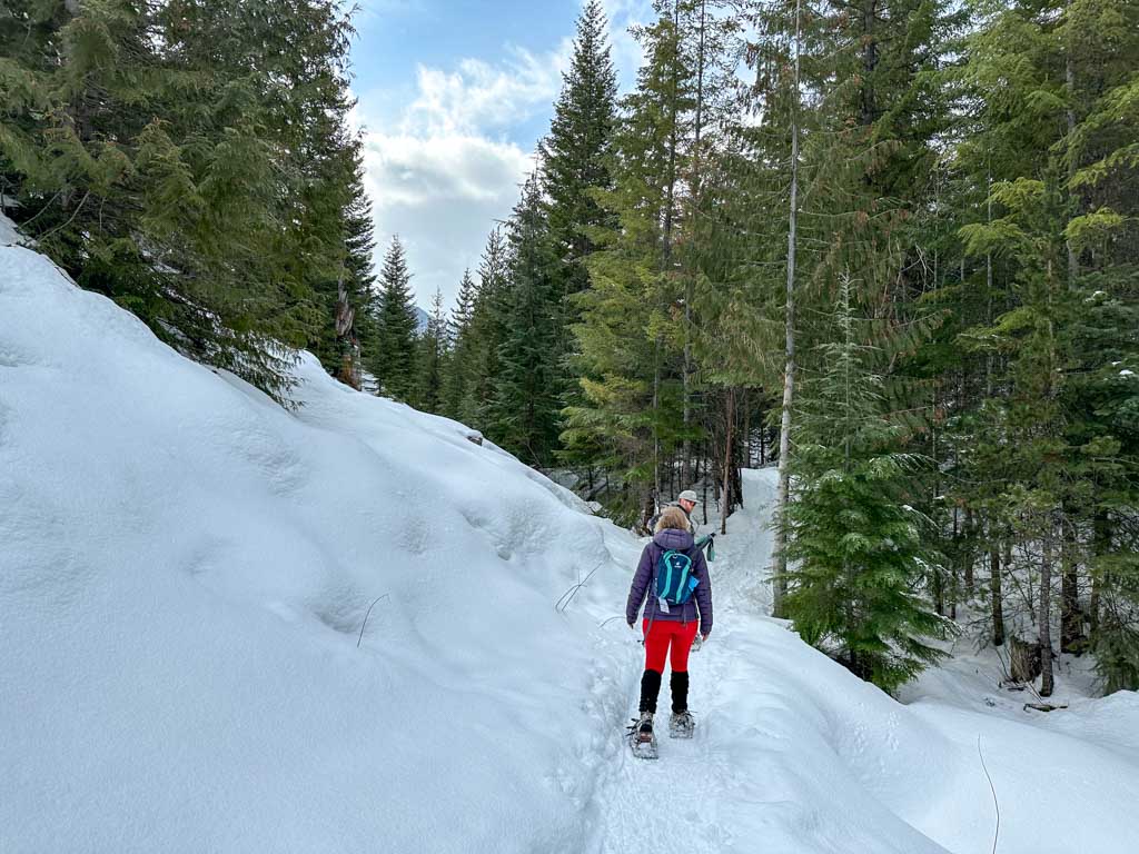
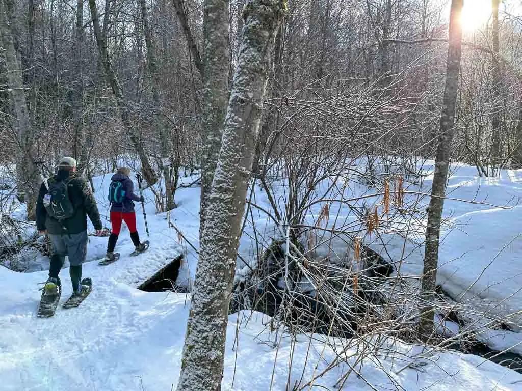
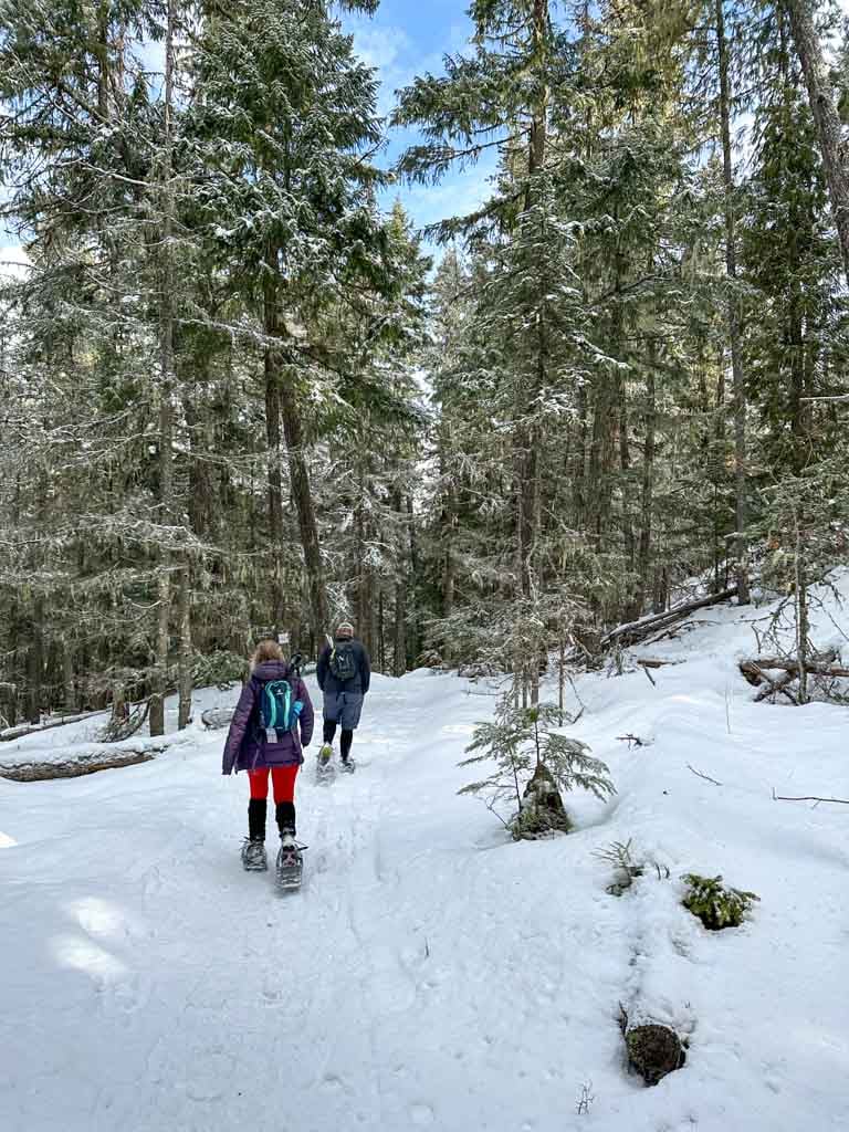
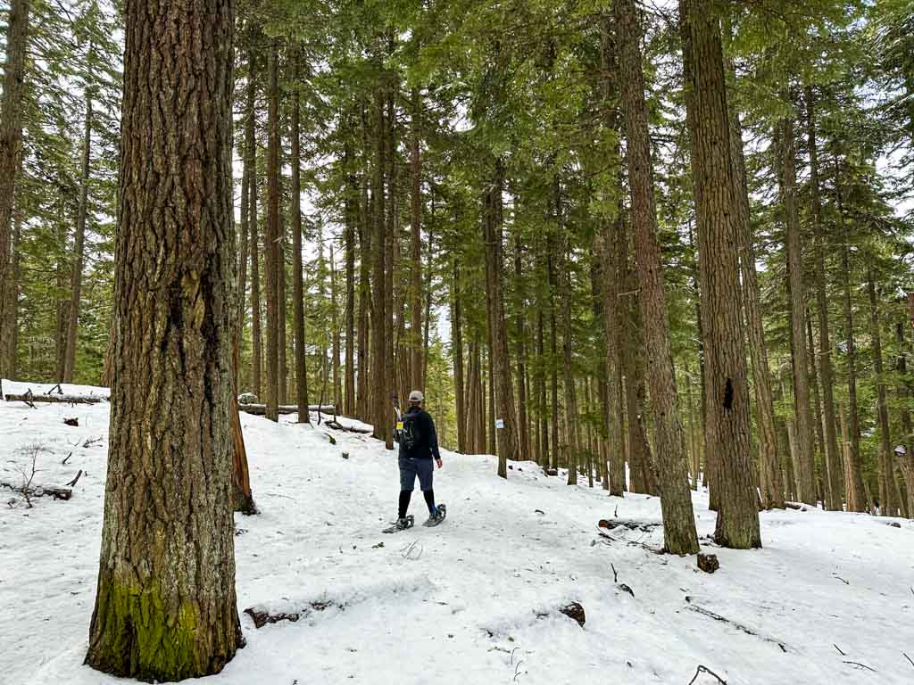
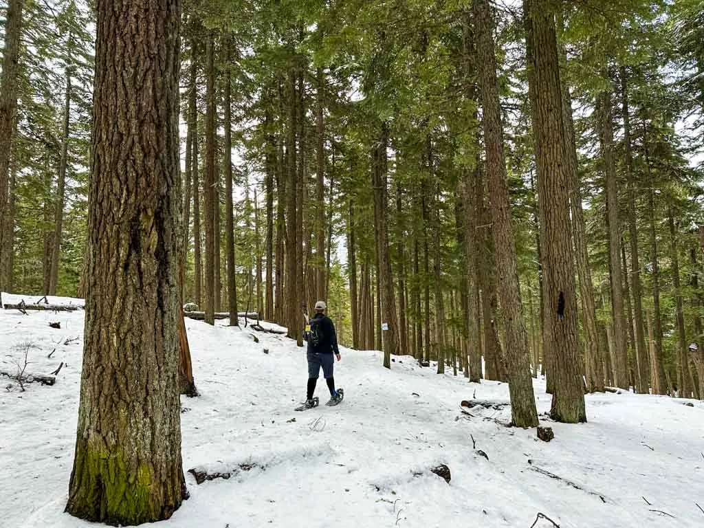
Follow the Red Trail as it parallels Blackcomb Creek. The trail winds through the bushes beside the creek, before crossing a cross-country ski trail and heading into the forest.

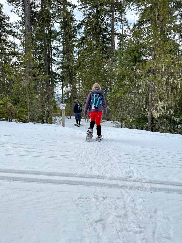
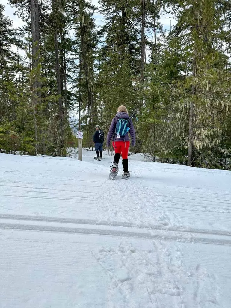
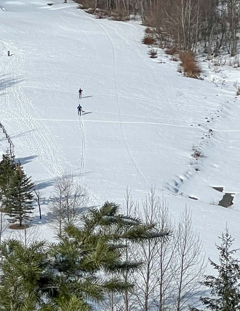
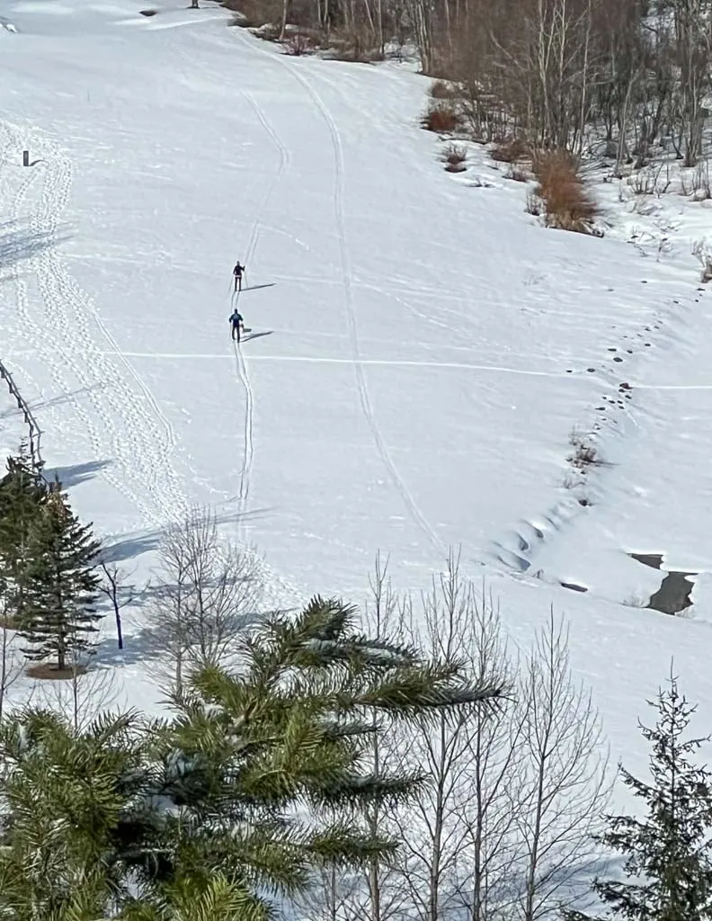
The route intersects cross-country ski trails quite a few times. Each time, look for signs to show you the start of the snowshoe trail on the other side. Watch for skiers before you cross. And step carefully when you cross the track-set section so you don’t disturb the groomed trail.
Stay on the trail as it winds through the forest, gaining a bit of elevation. It crosses another ski trail, then winds downhill towards Lost Lake.
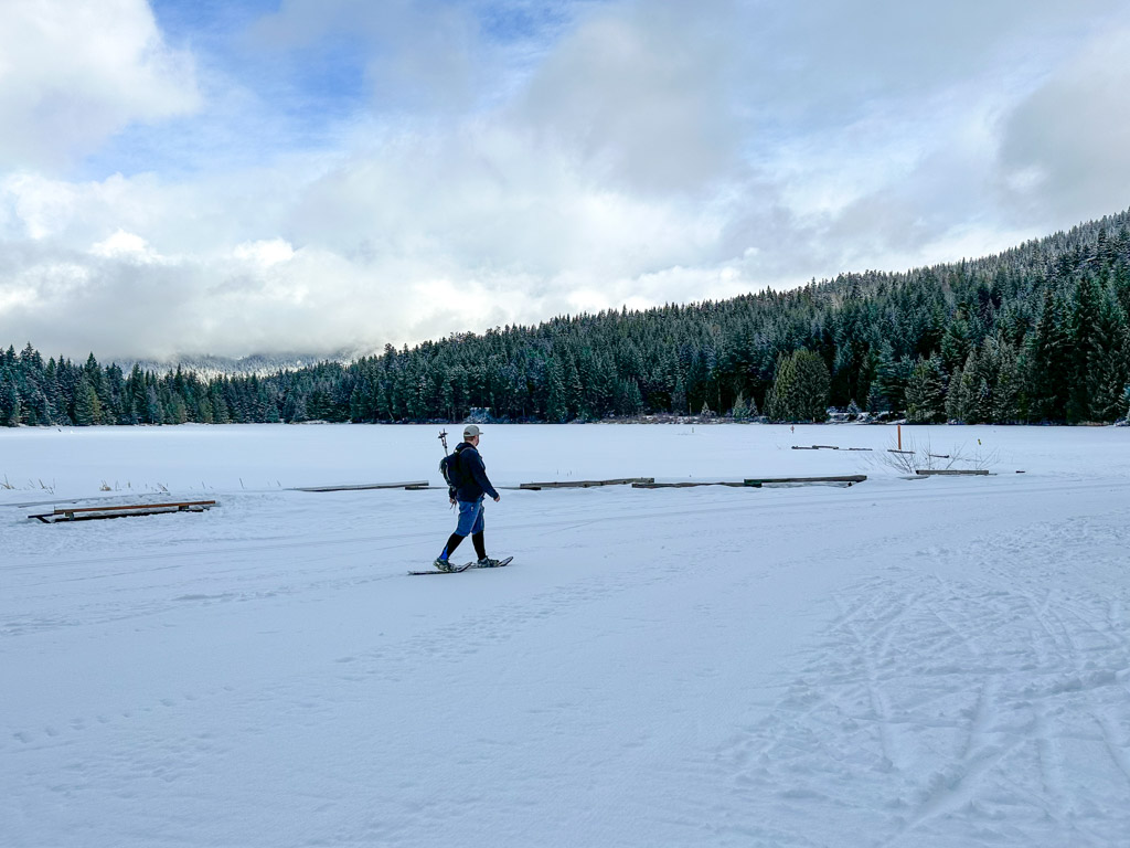
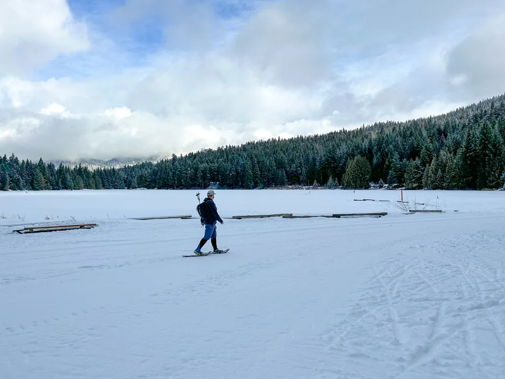
Emerge on another ski trail near the edge of the lake. Turn right and follow the edge of the ski trail along the lake to a large open area. This is a busy swimming beach in the summer. You can see the swimming floats trapped in the ice. The lake ice is often not thick enough to support your weight, so don’t walk on it.
READ NEXT: Where to Go Snowshoeing in Whistler
Continue following the edge of the groomed ski track across the beach and towards the warming hut. You can stop here for a snack. There is also a washroom building and ski patrol hut here.

When you are ready to continue, follow the ski trail left from the ski patrol hut and washroom building. Look for the Purple Trail on your right a few steps later.
This trail leads through the undulating forest for nearly 2 kilometres without intersecting another trail so it is very quiet. Unfortunately, there are no views in this section.

Arrive at a signed junction just before a bridge. If you want to do a shorter loop, turn left to continue on the Purple Trail.
However, I highly recommend that you turn right onto the Orange Trail as it eventually leads to a viewpoint which is the highlight of the trip. The Orange Trail heads slightly downhill through the forest before emerging into an open area under the power lines.
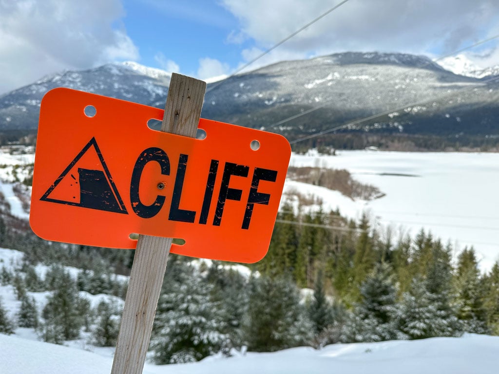
Turn right to follow the Green Trail. It’s a fairly flat trail that heads northeast to a great viewpoint on a bluff overlooking Green Lake.
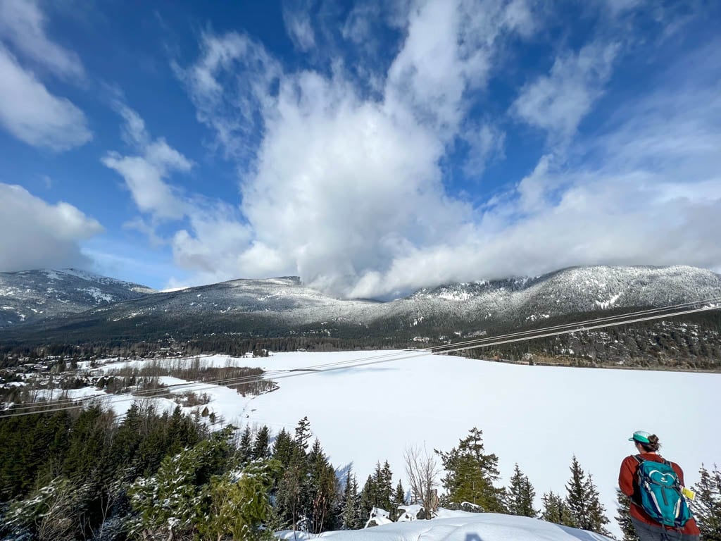

While the powerlines mar the view a little bit, it is still pretty spectacular. You can see skiers far below you on the Nicklaus North Golf Course, the huge expanse of Green Lake, and the snow-covered peaks of Rainbow Mountain and Cougar Mountain on the other side of the lake.
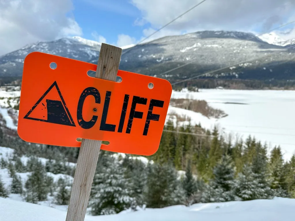
Use caution at the viewpoint as there are cliffs in a few places. But there is lots of room to hang out and enjoy the view.
When you are ready to continue, retrace your steps back to the junction with the Orange Trail. Go left to follow the Orange Trail back up a small hill to the junction with the Purple Trail.
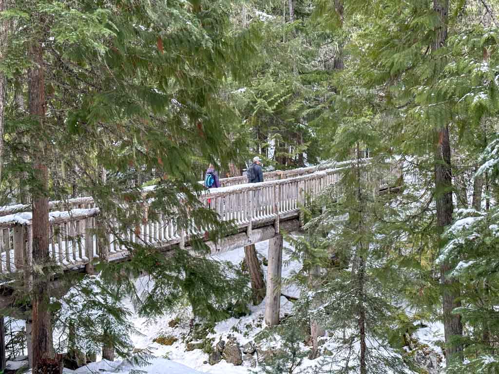
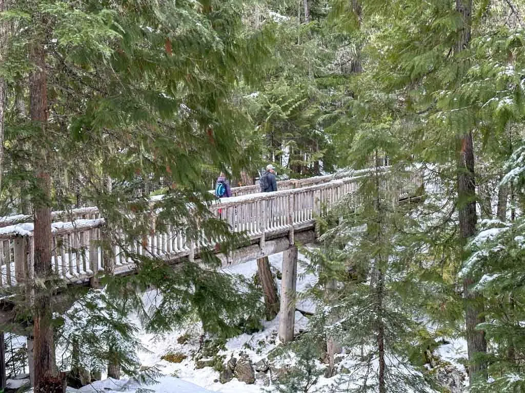
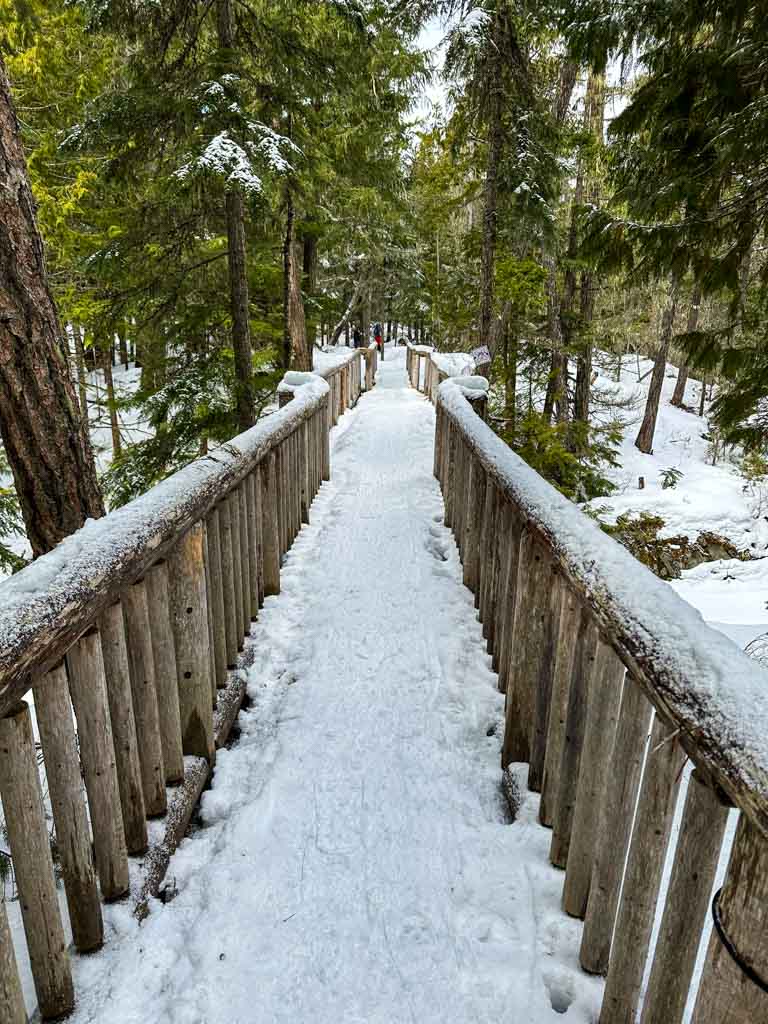
Take the right fork of the Purple Trail over the Elephant Bridge. In the summer this bridge is actually an overpass for mountain bikers. Be sure to look down as you cross to see if any skiers are on the trail below you.

Just after the bridge, ignore the Brown Trail to your right (it heads downhill to the Scandinave Spa, one of my favourite things to do in Whistler). Instead, stay on the Purple Trail and follow it across another ski trail.
The Purple Trail meanders through a more open forest for another kilometre, passing a bench with an obscured mountain view.
Cross another ski trail, then arrive at the junction with the Blue Trail, which is near another obscured viewpoint. Take the right fork for the most direct route back to the Passivhaus. (If you take the left fork it will add another 3 km to your trip.)
From the junction, the Blue Trail heads downhill, then makes a big switchback around a gully. Cross another ski trail, then arrive at the junction with the Red Trail. Turn right to head back to the Passivhaus a few minutes (and one more ski trail crossing) away.
The trail ends at the back of the Passivhaus. Follow the trail around to the left to go back through the arch. Or take the stairs into the upper level of the Passivhaus to get a cup of hot chocolate.
So that’s everything you need to know to snowshoe at Lost Lake in Whistler. Have questions? Ask them in the comments as I love to help.
MORE WHISTLER POSTS:
- Where to Go Snowshoeing in Whistler
- 44 Best Things to Do in Whistler in Winter
- The Best Things to Do in Whistler (Over 80 Ideas)
- Lost Lake in Whistler: Hiking, Swimming, Biking and More
- Cheap and Free Things To Do in Whistler
MORE SNOWSHOEING POSTS:
- Snowshoeing Safety: 14 Ways to Get into Trouble and How to Prevent Them
- How to Choose Snowshoes: A Complete Guide
- The Best Boots For Snowshoeing
- What to Wear Winter Hiking and Snowshoeing
- Where to Go Snowshoeing in Squamish
- Where to Go Snowshoeing in Vancouver


- Best Sun Hoodies for Hiking - June 3, 2026
- Lower Stein Valley Trail Hiking and Backpacking Guide - May 27, 2026
- The Best Things to Do in Vernon, BC - May 21, 2026
Dan
Thursday 25th of January 2024
Hi - I really appreciate this helpful guide, as I'm planning on snowshoeing this area at the weekend. How long in hours does your route take?
Taryn Eyton
Friday 26th of January 2024
The loop takes 2.5 to 3.5 hours. Have a fun trip!