
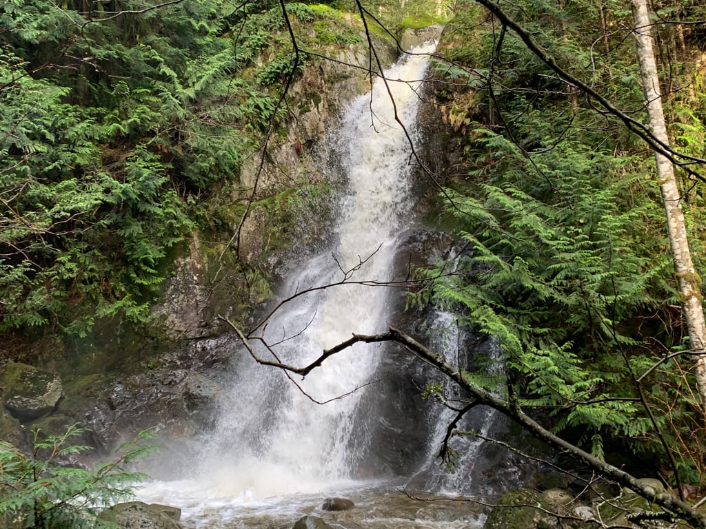
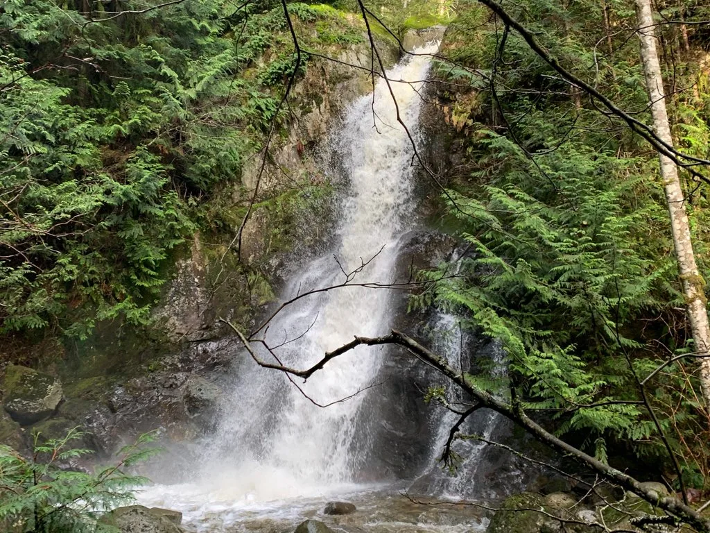
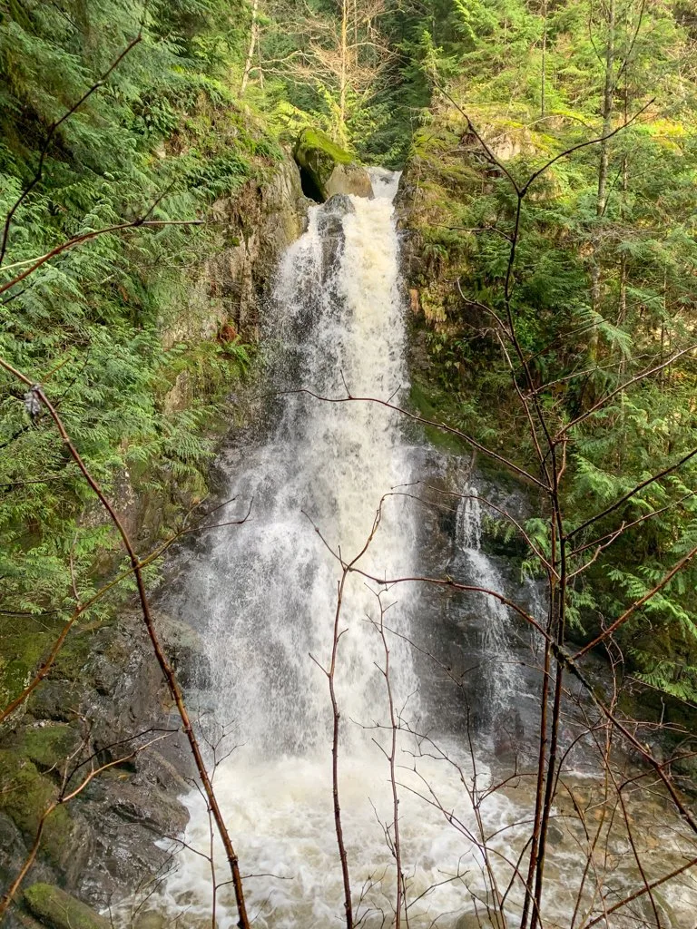
Langdale Falls is a gorgeous 40-foot-tall waterfall cascading into a mossy canyon near Gibsons on BC’s Sunshine Coast. There are two ways to hike to Langdale Falls and both are relatively easy and definitely worthwhile. I’ve got directions and info for both ways to hike to Landale Falls in this post.
I lived in Gibsons for five months in 2020/21 and the hike to Langdale Falls was one of the closest trails to my house… and also one of my favourite hikes on the Sunshine Coast. (I love waterfall hikes!) I’ve hiked tons of trails in the area, which means I can recommend the best route for you.
The short and easy trail from Sprockids Mountain Bike Park is the most direct route to Langdale Falls. It’s a good option if you are already on the Sunshine Coast. But if you want to visit the falls as a car-free day trip from Vancouver, I’ve also got directions for hiking to the falls right from the ferry as a walk-on passenger.
In this post you’ll find:
- A custom-made Langdale Falls map that shows both trails to the falls
- Detailed driving and hiking directions from the Sprockids Trailhead
- Detailed driving and hiking directions from the Langdale Ferry Terminal Trailhead
- Tips for extending your hike
This is a sensitive wilderness area. Learn how to Leave No Trace to keep the wilderness wild. Make sure you are prepared by bringing the 10 Essentials. Get ready for adventure with this checklist of things to do before every hike.
Hey there: Some of the links in this post are affiliate links, which means I earn a small commission at no cost to you. Thanks for your support. -Taryn
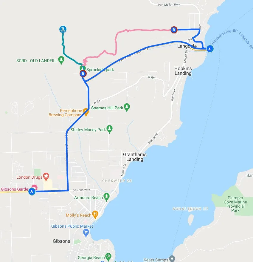
Langdale Falls Hiking Map
The hike to Langdale Falls can be a bit confusing as there are a lot of junctions. I couldn’t find a good map of the trails in the area, so I made one for you. However, it’s just an overview so I also recommend that you use a GPS app like Gaia GPS, Alltrails, or Trailforks while you are on the hike. That way you can check which trail you are on as you walk.
(Psst! Want to save 20% on a Gaia GPS premium annual membership, which gets you the same maps I used on Langdale Falls hike? Use this link.)
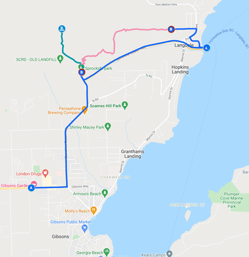
Langdale Falls Hike from Sprockids Mountain Bike Park
The route from the Sprockids Mountain Bike Park trailhead is the shortest and easiest route to Langdale Falls. It’s a good option if you just want a quick hike to the falls and if you have a car to get to the trailhead.
Distance: 3 km
Elevation Gain: 150 m
Time: 1 hour
Difficulty: Easy
Season: Year-Round
Toilets: None
Dogs: Allowed
How to Get to the Sprockids Park Trailhead
From Langdale Ferry Terminal
Drive off the ferry and continue straight up the hill on the Sunshine Coast Highway. At the top of the hill, turn right at the flashing light onto Stewart Road.
A minute later, reach a T-junction with a gravel road. The main mountain bike park is through the gate to the left. But you should turn right and park immediately on the right side. The trailhead is a bit further down the road on the left side. Click here for Google Maps directions.
From Gibsons
From Upper Gibsons, follow the Sunshine Coast Highway east and north towards the Langdale Ferry Terminal. At the flashing light and stop sign, go straight onto Stewart Road. (Don’t turn right to go downhill to the ferry terminal.) Then follow the directions above. Click here for Google Maps directions.
Hiking Directions for Langdale Falls from Sprockids Park
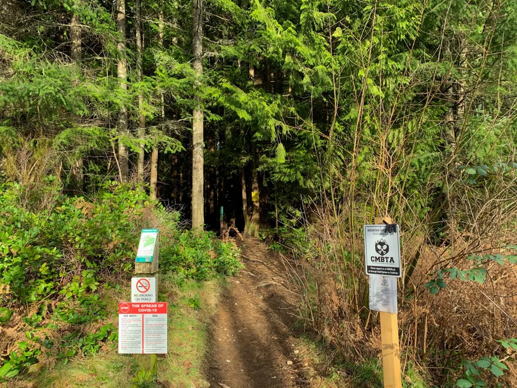
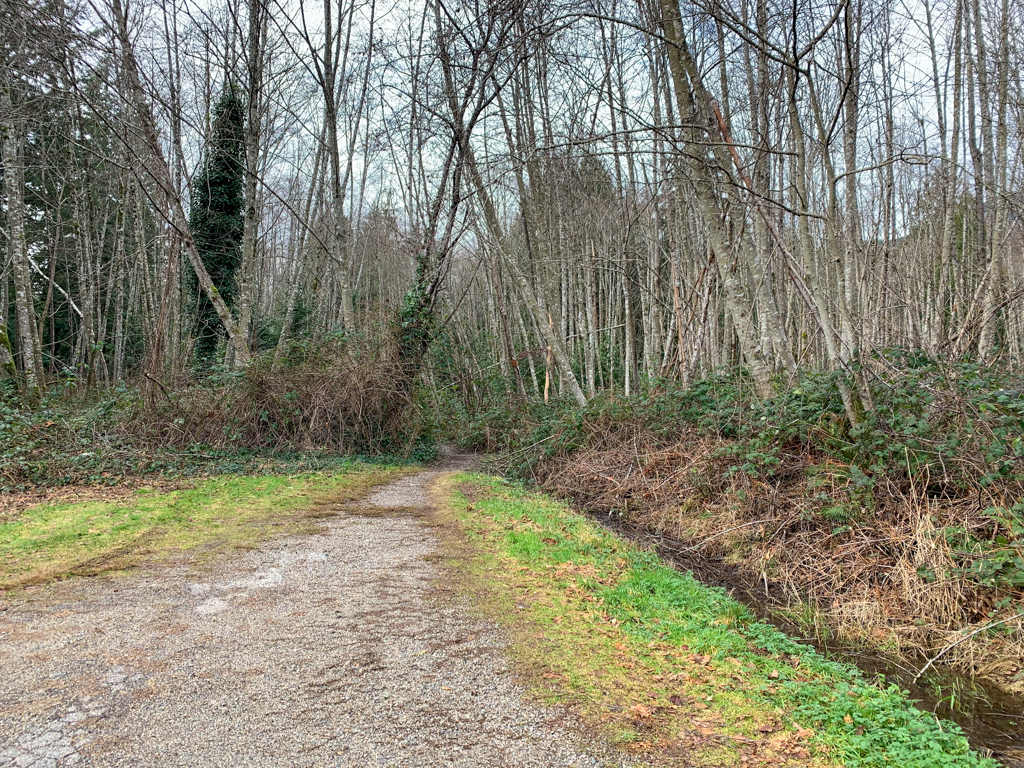
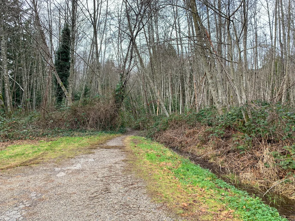
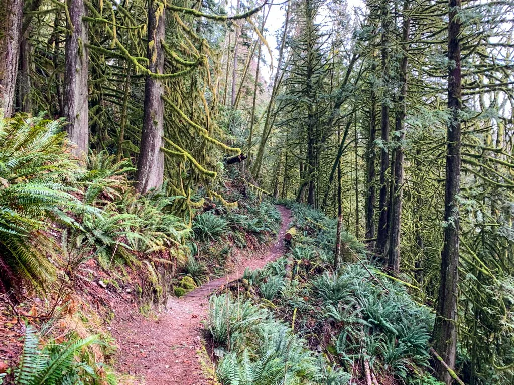
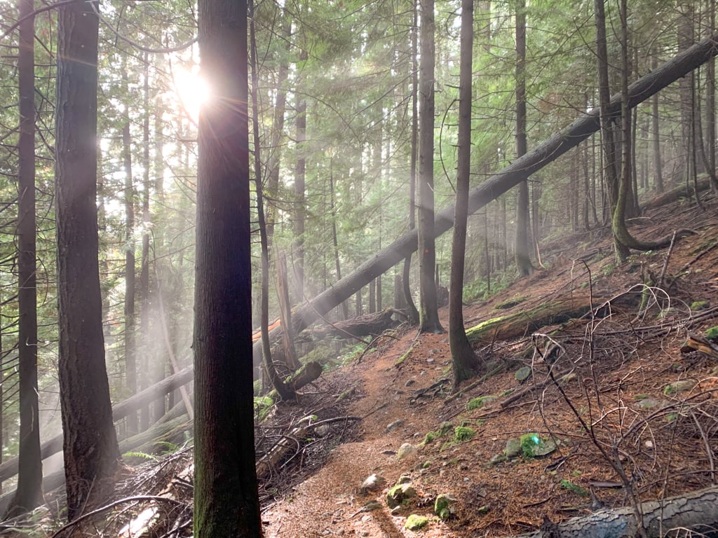
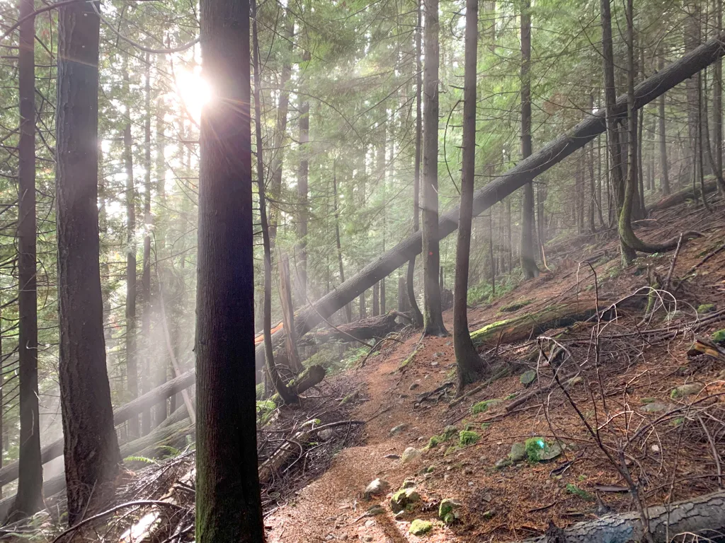
The first part of the hike to Langdale Falls travels through the Sprockids Mountain Bike Park, which means you will pass a lot of junctions with mountain bike trails. However, they are all very well marked so it’s easy to stay on track. If you are ever confused, follow the blue and white markers on the trees.
To find the trailhead, continue down the road from the parking area. Look for a trail heading left into the trees just before a gate and private property sign. You are now on the White Trail.
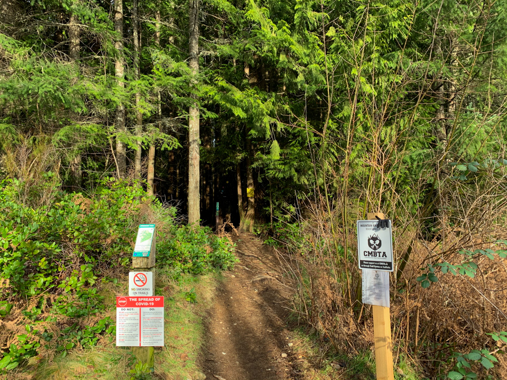
A few steps later, go straight on the White Trail where the Pineapple Express Trail comes in from the left. Stay straight again in another few meters, ignoring the Ferry Express/Lunge Express Trail on the right.
About 100m later, go straight again, ignoring the Sprockids Climb trail on the left and the Ferry/Lunge Trail on the right. (This where the route from the Wharf Road trailhead and Langdale Ferry Terminal meets up with this hike.) A minute later, ignore a junction with the Pineapple Express Trail on your left.
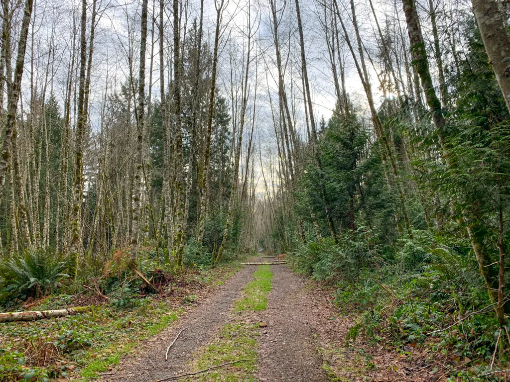
Next, the trail emerges into an area of open deciduous forest. Go straight, ignoring a trail on the left that heads to the main mountain bike parking lot.
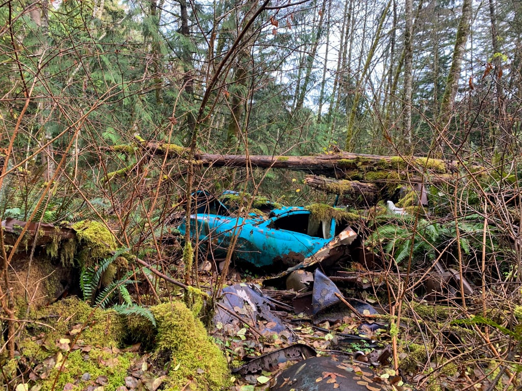
Continue through the open forest. Watch for some old abandoned cars on your right. This area was a landfill site decades ago. After it was full and had started to grow over, the local community turned it into a mountain bike park in the 1990s.

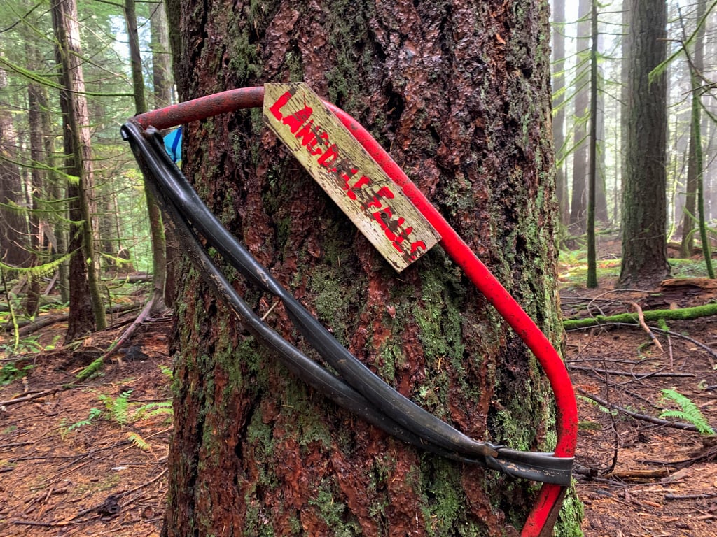
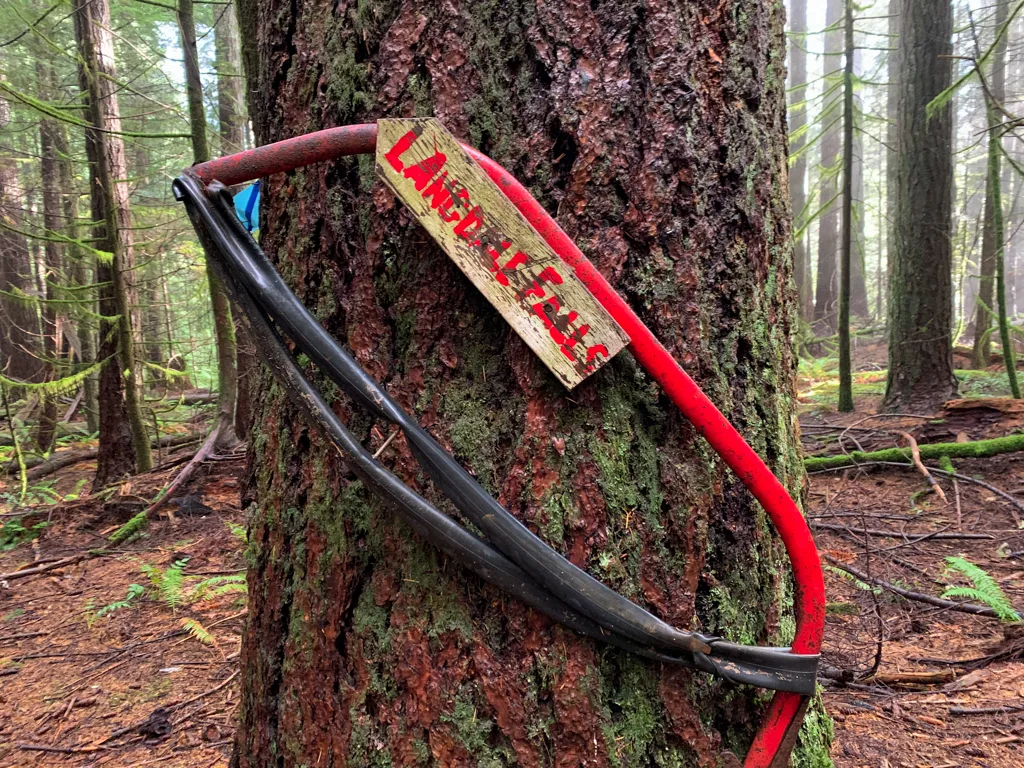
Soon after you leave to open area, look for a trail branching off to the right with a large “Langdale Falls” sign made out of a saw. Turn right and follow this trail, also known as the Blue Trail. The trail climbs gradually through the forest.
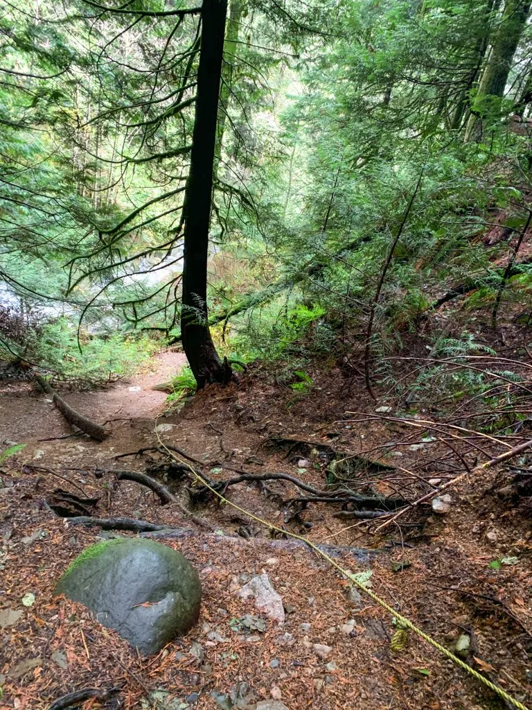
You will begin to hear Langdale Creek rushing in the canyon below you. There is a great view of the falls from the main trail, but you can also scramble down the bank to the base of the falls.
If you do choose to scramble down, be very careful as it’s quite steep. There is a thin hand-line to assist you and the dirt and gravel underfoot are very loose and can be slippery.


Once you are finished admiring the falls, head back up the steep slope and turn left on the Blue Trail to retrace your steps back to the trailhead. (Turning right at the top of the hand-line will take you into another area of mountain bike trails, described in the “Extending Your Hike” section at the bottom of this post.)
Langdale Falls Hike from the Langdale Ferry Terminal
You can hike to Langdale Falls right from the ferry terminal, which makes this a great hike to do from the Vancouver area as a walk-on passenger. You can even do this hike completely car-free by taking public transit to the ferry terminal in Horseshoe Bay. (It’s one of my picks for the best public-transit accessible hikes in Vancouver.)
Distance: 8km
Elevation Gain: 280m
Time: 3 hours
Difficulty: Moderate
Season: Year-Round
Toilets: None
Dogs: Allowed
How to Get to the Wharf Road Trailhead
If you’re coming off the ferry as a foot passenger, use these directions to get to the Wharf Road Trailhead. Walk off the ferry and follow the covered walkway to the parking lot. Cut across the parking lot and pick up a paved path on the north side.
Follow the paved path uphill. At the top of the stairs, turn right onto Smith Road. Walk down Smith Road for a few minutes, then follow a trail uphill through the trees on the left. Cross the Port Mellon Highway and turn left onto Wharf Road. Follow Wharf Road to its end, which is the trailhead.
Your total walking distance from the ferry terminal is about 1.3km with about 80m of elevation gain. Click here for Google Maps directions.
Hiking Directions for Langdale Falls From the Wharf Road Trailhead
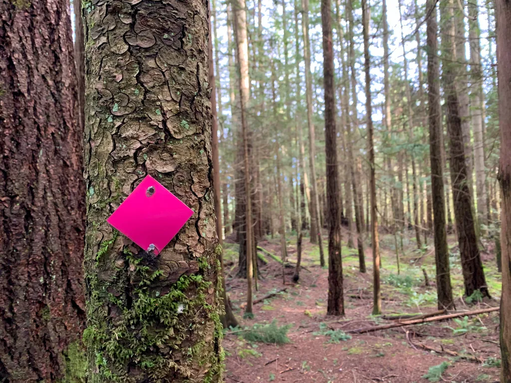
The route from the Wharf Road Trailhead to Langdale Falls intersects a lot of mountain bike trails. To stay on track, keep following the pink markers from the trailhead until you meet up with the Sprockids trails at the top of the Langdale Lunge Trail, then switch to following the blue markers.

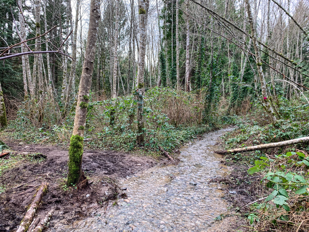
From the end of Wharf Road, follow the trail into the open forest. Almost immediately you have a choice: The main route with pink markers is a badly eroded gravel road. In the winter or times of heavy rain, it turns into an ankle-deep creek.
A better choice is to follow Marty’s Trail, a bike trail that parallels the road closely but has a nice dirt surface and lots of beautiful cedar trees. Ignore a few side trails branching to your right – they just lead to the gravel road.

After about one kilometre, Marty’s Trail ends and you’ll be back walking along the old gravel road. Follow it as it curves around an old quarry that you will be able to see through the trees on your left. Ignore the Jammer mountain bike trail on the right and stay on the gravel road.
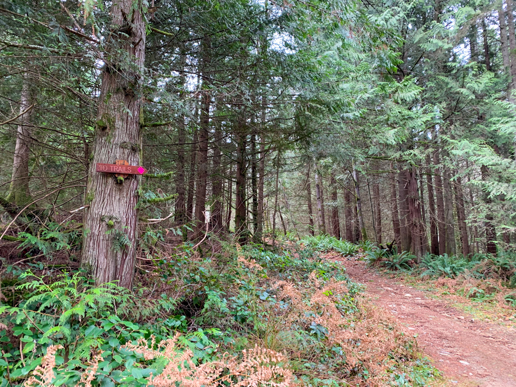
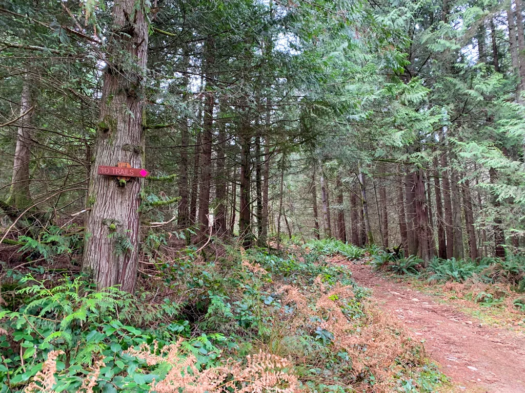
The road curves around to the left then heads into a long straight stretch. A few minutes later, it curves to the right and comes to a junction. Go right, following the pink markers and a sign that says “To Trails”.

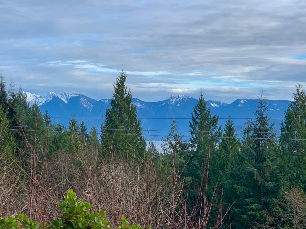
Just a few meters later, the trail emerges under the power lines. Turn left and follow the Langdale Lunge Trail south. There are a few partially obscured viewpoints through this section where you can look west across Howe Sound to the ski hill at Cypress Mountain and south to the forested dome of Soames Hill.
(Psst: Did you know you can hike along the tops of these mountains? It’s part of a multi-day hike called the Howe Sound Crest Trail. You can find all the info you need to hike it in my book, Backpacking in Southwestern British Columbia.)

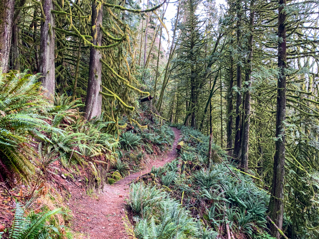
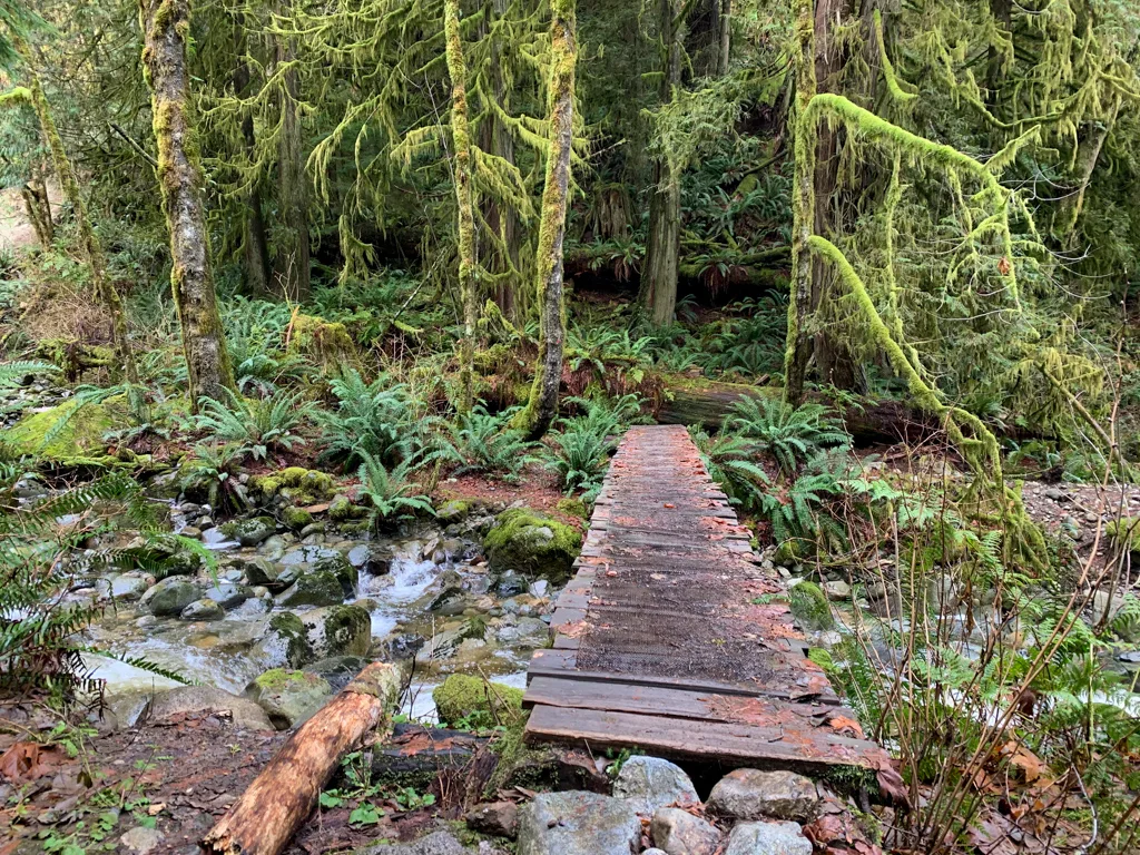
After leaving the powerline, the trail heads into the trees and starts a gradual descent into the Langdale Creek canyon. This is one of the loveliest parts of the trail with dripping moss, giant ferns, and gorgeous cedar trees. At the bottom of the canyon, cross the creek on a long wooden bridge.

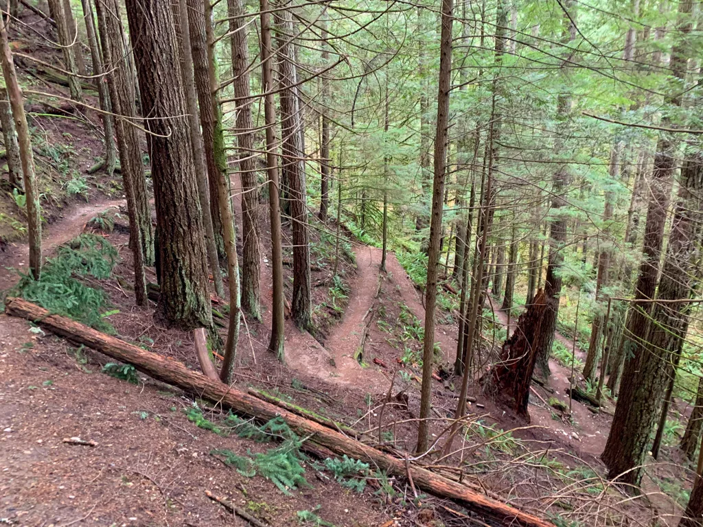
On the other side, follow the trail up steep switchbacks. You’ll know you’ve reached the top when you see a large “Langdale Lunge” sign. Mountain biking down those switchbacks must be pretty exciting.


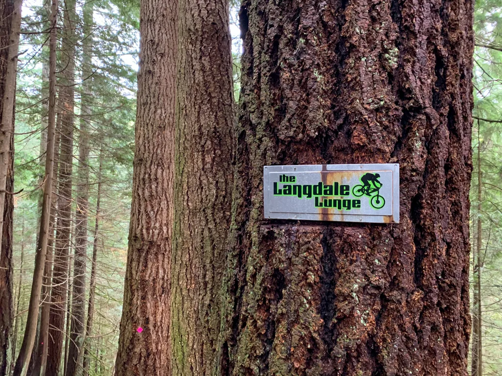
From the sign, turn right onto the Ferry Trail and head slightly uphill. A few steps later, intersect the White Trail and turn right to follow it.
You have now reached the edge of the Sprockids Mountain Bike Park. Your route from this point will be identical to the shorter route from the Sprockids Trailhead detailed above.
Extending Your Hike
With tons of trails in the area, there are lots of ways to extend your hike or create a loop.
Sprockids Loop: A good loop option is to continue on the Blue Trail from Langdale Falls (turn right instead of left at the top of the hand-line). You can take Pressure Drop Trail uphill, then follow the Ridge, Torrent, and Technical Ecstasy Trails back downhill to the main mountain bike parking lot. From there, it is a few minutes walk along the road to your car. The loop is about 4.5 km with 350m of elevation gain and should take about 2 hours. You can use this map to plan your trip, but there’s a better one posted at the trailhead.
Mount Elphinstone: This challenging and steep hike takes you to one of the tallest mountains on the South Sunshine Coast. Continue on the Blue Trail past Langdale Falls. It’s a 13km hike with 1000m of elevation gain. Use this trail guide to plan your trip.
Langdale Falls Loop: Experienced hikers armed with GPS maps can follow a network of overgrown trails to make a loop back to the Wharf Road Trailhead. From Langdale Falls, follow a faint trail to cross the creek above the falls. From there, follow brushy trails downhill to the powerlines, then the Jammer bike trail back to the gravel road that leads to Wharf Road. Don’t attempt this route in winter or high water when the creek is too dangerous to cross.
So that’s everything you need to know to plan a hike to Langdale Falls on BC’s Sunshine Coast. Do you have questions about the trail? Let me know in the comments. I’m always happy to help.
READ NEXT:
- 21 Best Hikes on the Sunshine Coast, BC
- The Best Things to do on the Sunshine Coast, BC
- 40+ Waterfall Hikes Near Vancouver
- Soames Hill Hike on the Sunshine Coast, BC
- Cliff Gilker Park Hike on the Sunshine Coast, BC
- Skookumchuck Narrows Hike on the Sunshine Coast, BC
- How to Snowshoe and Ski at Dakota Ridge on the Sunshine Coast, BC
- 100+ Snow-Free Hikes in Vancouver: Trails You Can Hike Year Round
- 35 Vancouver Hikes You Can Get to on Transit
- Backpacking Manzanita Bluff and Rievely’s Pond on the Sunshine Coast Trail


- Best Sun Hoodies for Hiking - June 3, 2026
- Lower Stein Valley Trail Hiking and Backpacking Guide - May 27, 2026
- The Best Things to Do in Vernon, BC - May 21, 2026