Over the Easter long weekend I spent three days backpacking a section of the Sunshine Coast Trail with a group of friends. We hiked from Manzanita Bluff to Rievely’s Pond, then finished near Powell River.
Never heard of the Sunshine Coast Trail? The whole trail is 180 kilometers long and stretches the whole length of the northern Sunshine Coast from north of Lund, past Powell River, to the ferry terminal at Saltery Bay. The local trail society, led by the trail’s founder Eagle Walz, has worked hard to build the trail and route it through the most scenic areas.
It starts on the ocean, then heads inland to follow mossy streams, pass by numerous lakes, and go up and over many hills and mountains before finishing back by the ocean again. While it may have the word “coast” in its name, the SCT spends 95% of its time inland in the forest and on mountain tops so don’t get confused and think it is an alternative to the West Coast Trail or the Juan de Fuca Trail – this is something totally different.
There are also 13 backcountry huts and shelters on this trip, billed as Canada’s first hut-to-hut hiking experience. There are also tons of road access points to trailheads along the length of the trail so doing a day hike or a section as a multi-day backpacking trip rather than the whole trail is totally doable.
This is a sensitive wilderness area. Learn how to Leave No Trace to keep the wilderness wild. Make sure you are prepared by bringing the 10 Essentials. Get ready for adventure with this checklist of things to do before every hike.
Since three days is not enough time to tackle 180 kilometers, we opted to do only a section of the trail. (Well it’s not enough time unless you are Nicola Gildersleeve, the trail runner who holds the fastest known time at just under 34 hours!) Since we would be hiking in late March, we chose a 40 kilometer section that stayed at relatively low elevation to avoid snow: the northern section from near Lund to near Powell River. You can see our route expertly (ha!) drawn on the map below.
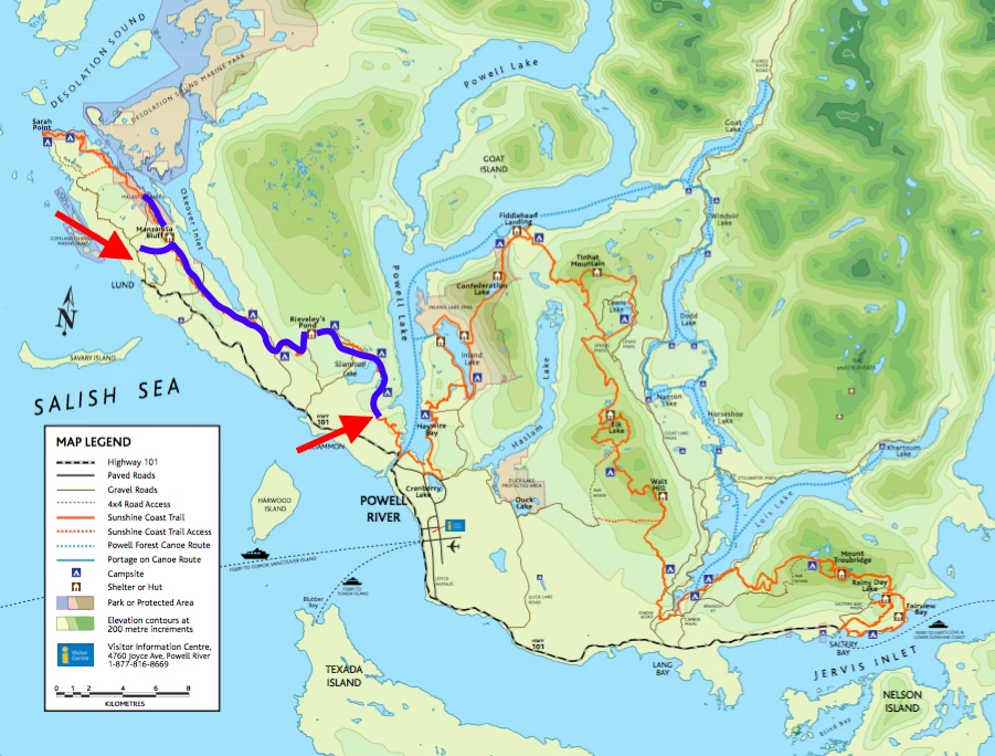
My 3 Day Hike on the Sunshine Coast Trail
Due to cost and time pressures, we opted to skip the first few kilometers of the trail and start part way along. This meant that we didn’t have to organize a water taxi and our first day on the trail (our first of the season wearing fully loaded overnight packs) would be a bit shorter. So bright and early on the morning of Good Friday we woke up at a friends house in Powell River (having arrived from Vancouver the night before) and headed out to start our section hike of the Sunshine Coast Trail.
Since we would be doing a point to point hike, our first step was to leave one of our cars at the end point for our trip (in the Wildwood neighbourhood of Powell River), then drive towards Lund where we parked our car at a trailhead that was marked with a wooden arrow that said “SCT access”. This was one of the many access trails that lead towards the SCT proper. The forecast had been for sun but the sky was grey and a light drizzle was falling. We donned rain coats, shouldered our packs and headed up the trail (an old road) for a kilometer or two until we got to a junction. The junction indicated we should turn right to get to the SCT on the Spire Trail. What?!? We thought we were on the Gilpin Road access trail!
A quick check of our map and our GPS revealed that we had actually parked our car in the wrong place (a few kilometers too early) and were in fact on the wrong trail! But on the plus side, we were way closer to the Manzanita Bluff Hut, that evening’s destination than we had planned and the sun had come out! However, on the minus side, there is no water at the hut or on the bluffs and we had planned to stock up on water at Wednesday Lake, 4 kilometers to the east. We decided to just head up to the hut directly, have lunch, then day hike down to the lake to get water.
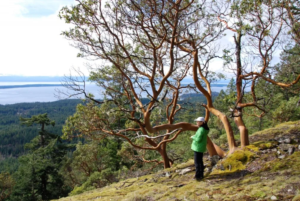
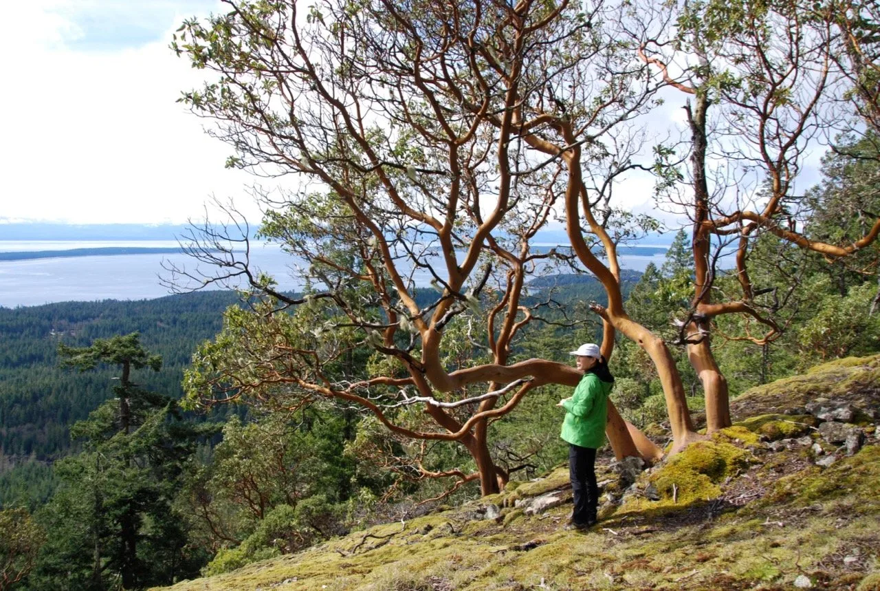
After leaving the junction with the old road, we followed the Spire Trail for a few hundred meters to another junction where we got on to the Sunshine Coast Trail proper for the first time. We had been travelling in rather dense second growth forest but after we got on to the Sunshine Coast Trail the vegetation changed. We gained elevation as we climbed up on to Manzanita Bluff surrounded by moss, arbutus trees and yes, manzanita bushes. The only downside (besides all the steep hill) was the view of a nearby clearcut.
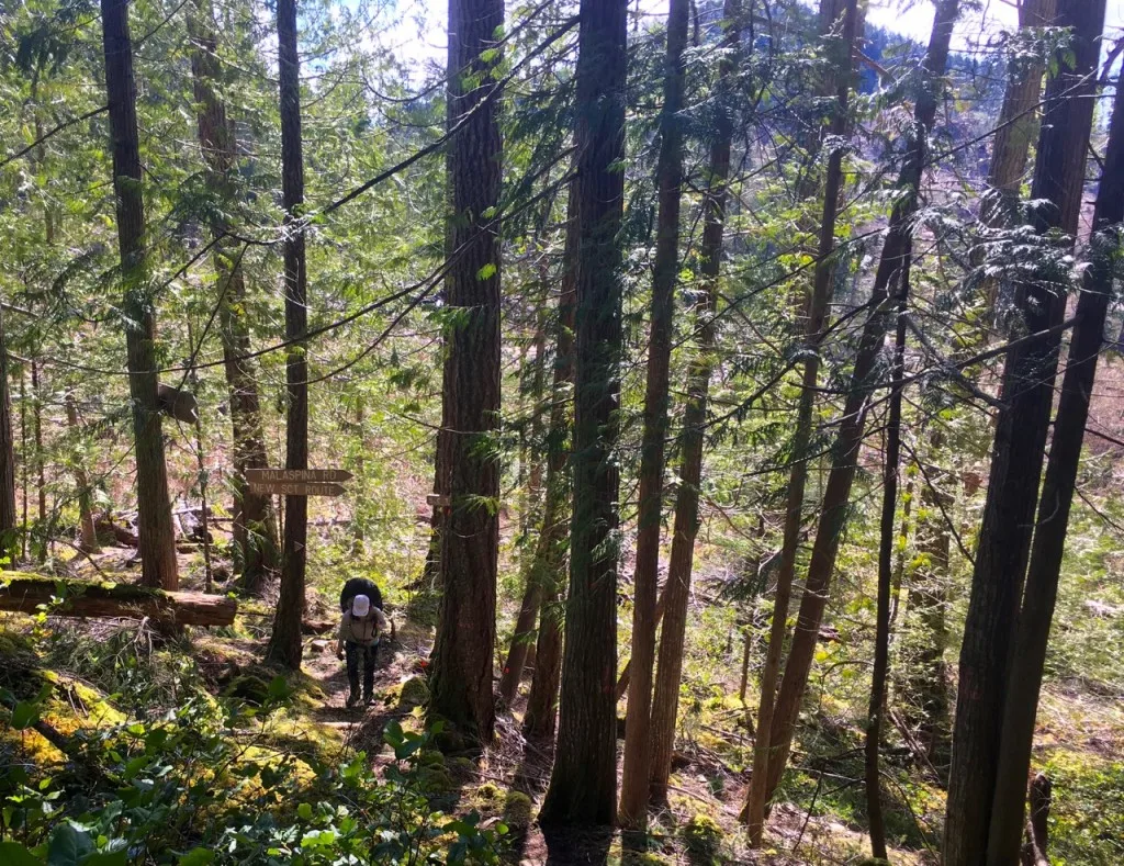
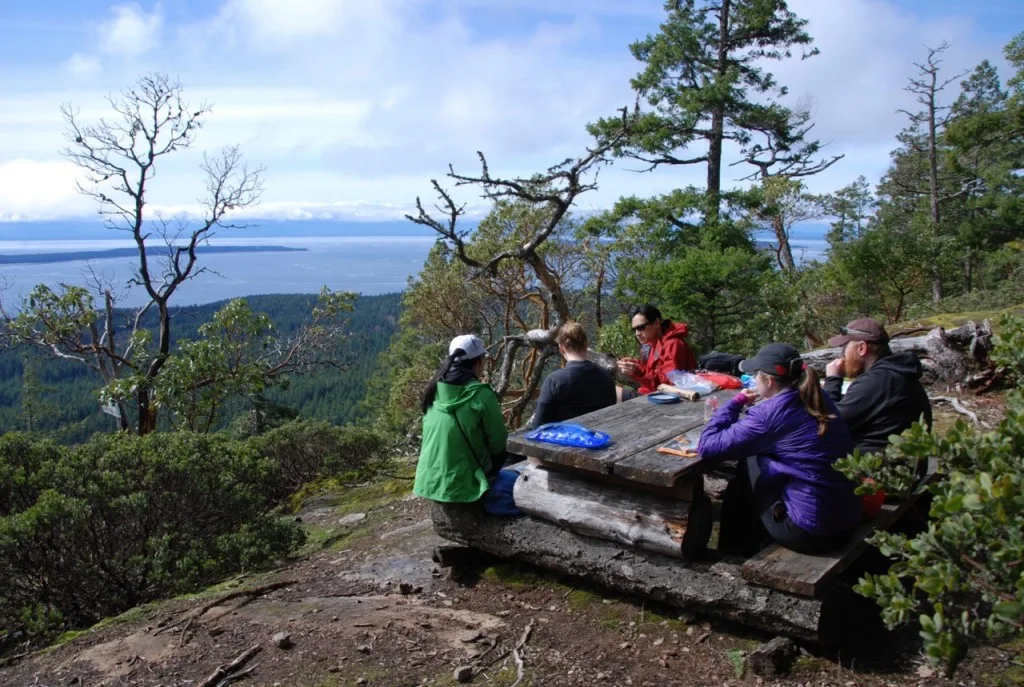
Before long we reached the Manzanita Bluff hut, claimed spots in the sleeping loft, then headed out to a nearby picnic table at the end of the bluff to eat lunch. What a spectacular view: down the hill to Lund, across to Savary Island and then across to Vancouver Island.
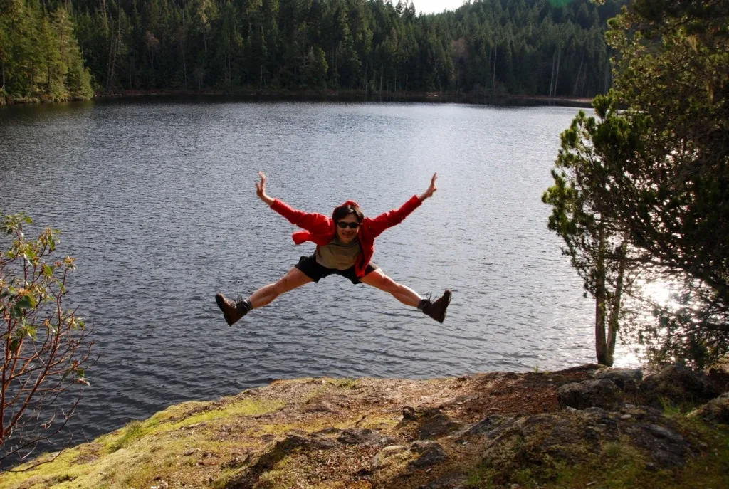
After lunch we hung our food in a bear hang, stowed our packs in the hut and set off with all of our water containers on a day hike to Wednesday Lake. It was 4 kilometers of mostly downhill travel across more arbutus bluffs and through some mossy forest. The lake looked pretty inviting and I’m sure it’s a great place to swim on a warm summer day, but on this March afternoon, even though it was sunny, none of us wanted to brave it. Instead we filtered litre upon litre of water, then bundled it all into backpacks that we took turns carrying all the way back up the hill to the hut.
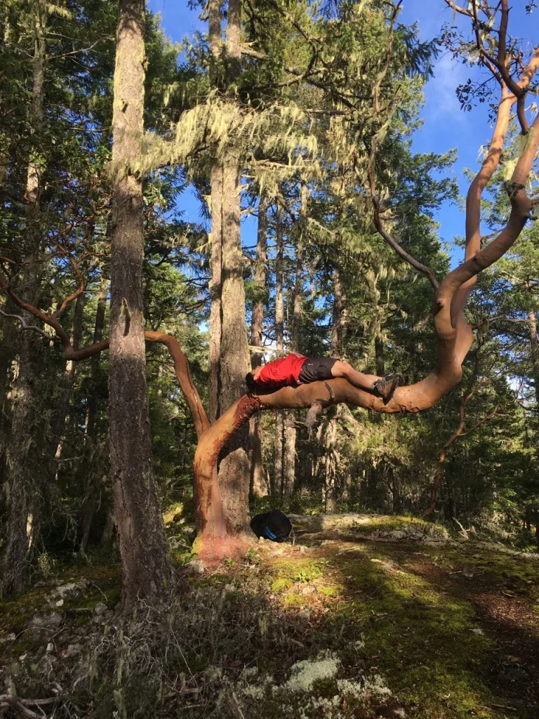
Back at the hut we cooked dinner then ate down at the viewpoint on the edge of the bluff. Unfortunately it was too cloudy for a nice sunset. After the sun went down we took advantage of the nearby firepit complete with benches and had a quick campfire.
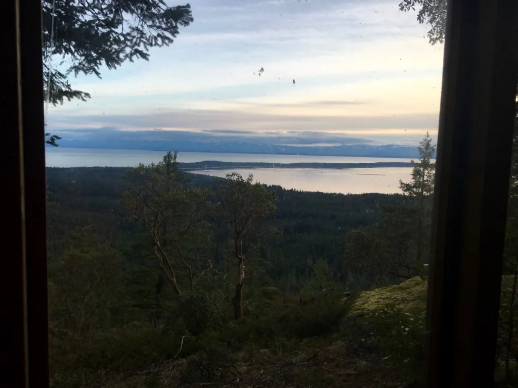
On Saturday morning we were up fairly early (despite all six of us sleeping through several alarms!) and on the trail as we had a long 17.5km section of trail to tackle to get to the next hut at Rieveley’s Pond. We started by descending the SCT south of the bluff back to the junction where we had first joined it the day before, then continued south. The trail at this point is in a narrow buffer of intact forest between a couple of clearcuts and is not that scenic. It soon heads back into some more bluffs though, including one with a great view to the east down into Okeover Inlet.
After finishing the bluffs section of the trail (also known as the Gwendoline Hills) we popped out on to the paved Malaspina Road. It was weird to cross a road in the middle of a backpacking trip! Next we tackled the Thunder Ridge section of the trail: a long steep mossy climb up a hill, then a steep descent through alder and willows down to another road.
After crossing the road we walked on an old logging railway bed towards Plummer Creek where we had lunch. There is a campsite on a spur trail here, but it was so dark in the forest that most of the campsite (including the giant log picnic table) was coated in moss. The morning had been sunny and warm, but by mid-afternoon the temperature had dropped and the sky was looking pretty grey.
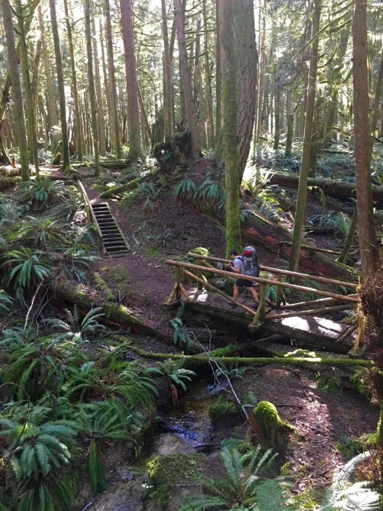
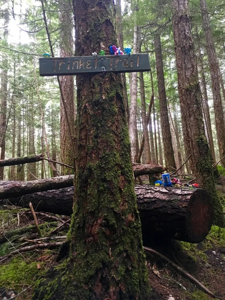
After lunch the trail followed mossy and fern-covered Toquenatch Creek and passed beside the 1000 year old Toquenatch Fir before crossing another road to start our final section for the day, the Marathon Trail. This trail wound through dense second growth forest and passed the junction with the Trinket trail (where apparently people leave toys on branches in the forest). The trail then steeply climbed a ridge before descending (finally!) to Rieveley’s Pond where there is another shelter. We opted not to take the side trail to Gibraltar Bluff as we were tired, it was cold and the weather was rather grey and gloomy so we didn’t think we would have a view – who knows what we missed!
The Rievely’s Pond shelter is set back from a small pond and we were serenaded by a frog symphony all through dinner and dishes. As the sun set it started to rain and the sound of the rain on the metal shelter roof mixed with the song of the frogs as we headed to bed.
The next morning my friend A and I got up before everyone else, ate a quick breakfast and headed on on the trail while the rest of the group was still getting up: we were the advance troops, the faster hikers tasked with doing the car shuttle and coming back to pick everyone else up in time to get to the ferry. We set off under grey skies thinking it would rain at any moment.
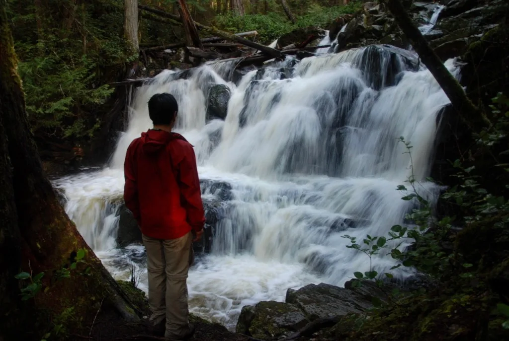
For the first few kilometers we plodded along silently in the thick second growth forest, but before long we were crossing the bridge over Appleton creek and entering the Appleton Canyon section of the trail. In this section the trail follows the steep walls of the canyon, dipping down to the side of the river every so often. The most spectacular part was the viewpoint of Gorge Falls. That is where our group’s plan to send A and I ahead hit a snag – we were also the two most avid photographers on the trip and we spent a good amount of time at the falls frantically taking photos as fast as we could (and fighting with misty lenses).
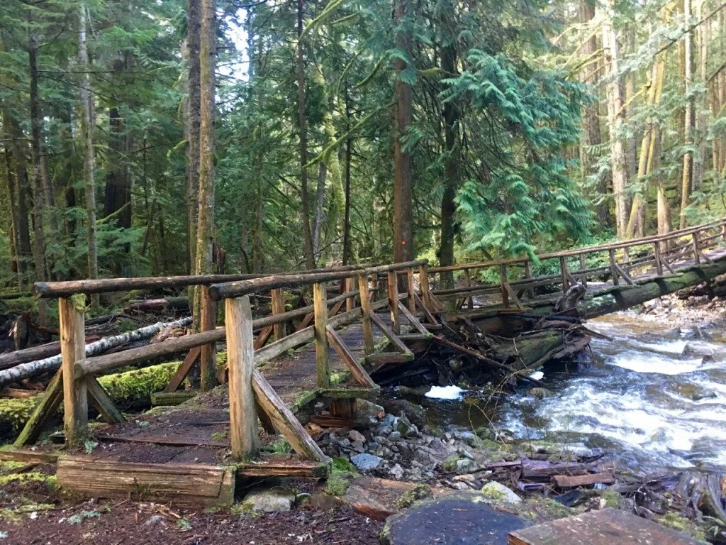
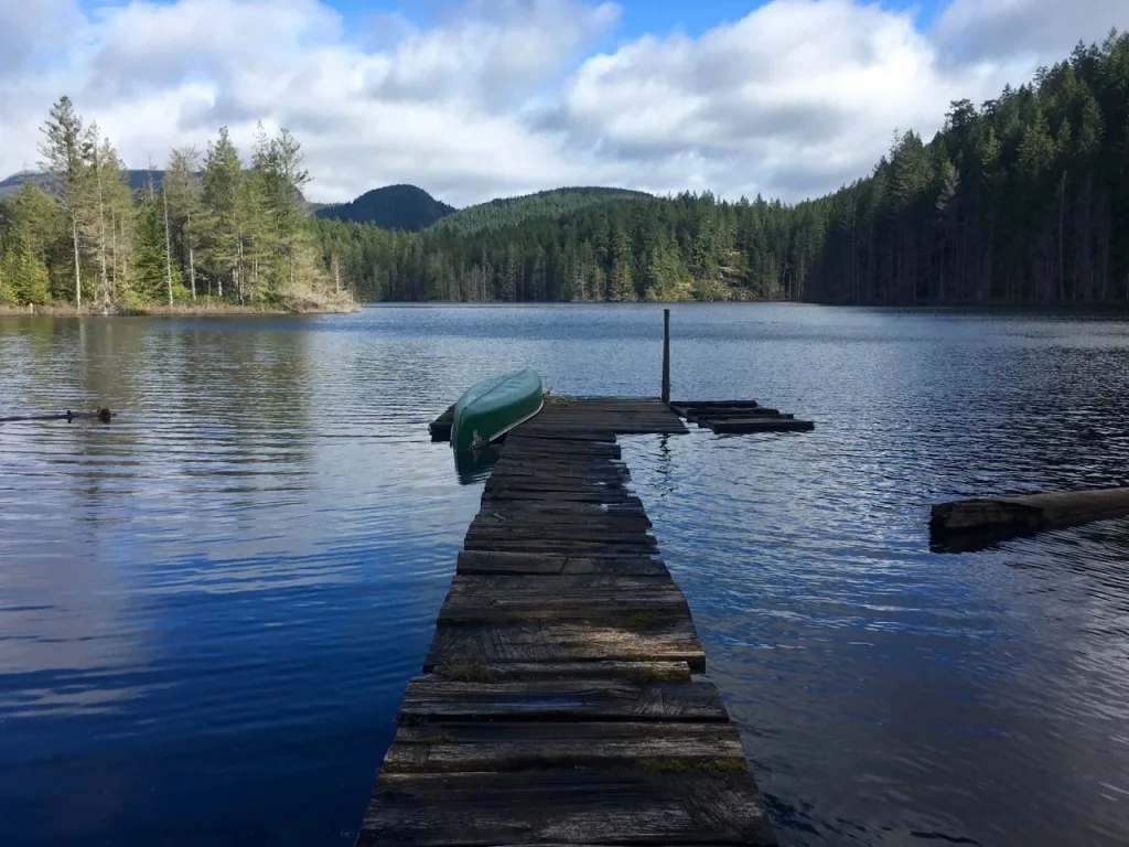
After the Appleton Canyon section we crossed another road, then headed into the Sliammon Lakes section of the trail where the sun came out and it warmed up. We passed by three lakes, Theyeth Lake, Sliammon Lake and Little Sliammon Lake. The trail in this section was a bit more technical than some of the other sections with lots of rooty sections, ups and downs and twists and turns. We’d go from a viewpoint of a lake up on a bluff, down to lakeside, then back up again. At the end of Little Sliammon Lake we came upon the Shangri-La campsite complete with a dock and a canoe. The lake was still, the sun was shining, but we didn’t have time to paddle the canoe… we had to go shuttle the cars or we’d miss the ferry! Sad face.
After leaving the lake we walked beside and then through our final clearcut of the trip before doing another kilometer in dark second growth forest. The trail then turned on to an old forest road for a few hundred meters down to where we had parked one of our cars. We threw our packs in the car, sped off down to Lund, picked up the other car, and drove back to the trailhead, all in less than an hour. After the rest of the group showed up we headed into Powell River for a quick lunch before heading to the first of our two ferries back to Vancouver.
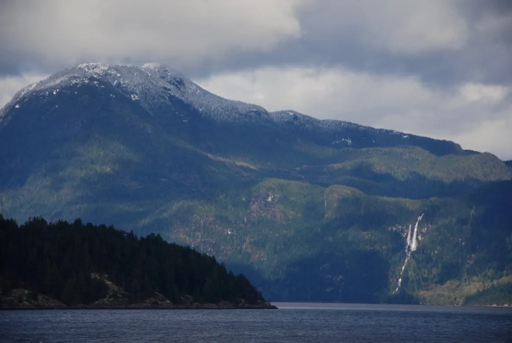
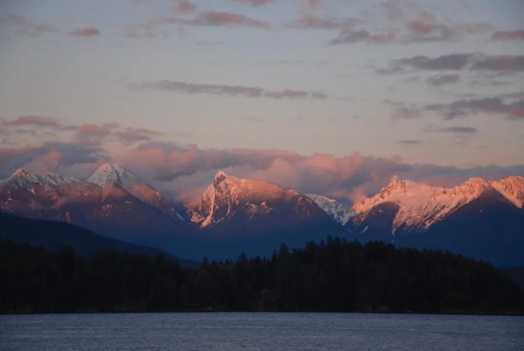
While the two ferries and twisty roads make it a hassle to get to the Sunshine Coast, the views from the ferries kind of make up for it.
If You Go:
You can find lots of info including maps on the Sunshine Coast Trail website and they also post trail conditions updates on their Facebook page. There is also lots of info including detailed trail descriptions in the only guide book to the trail, The Sunshine Coast Trail: Hut to Hut Hiking by Eagle Walz.
There are no fees to hike the trail or stay in the huts. As well, no reservations are required and you don’t have to register anywhere. (All huts and campsite are first come, first served.) But the local trail society has worked hard to build and maintain the trail using only donations and volunteer labour so if you hike the trail please consider donating.
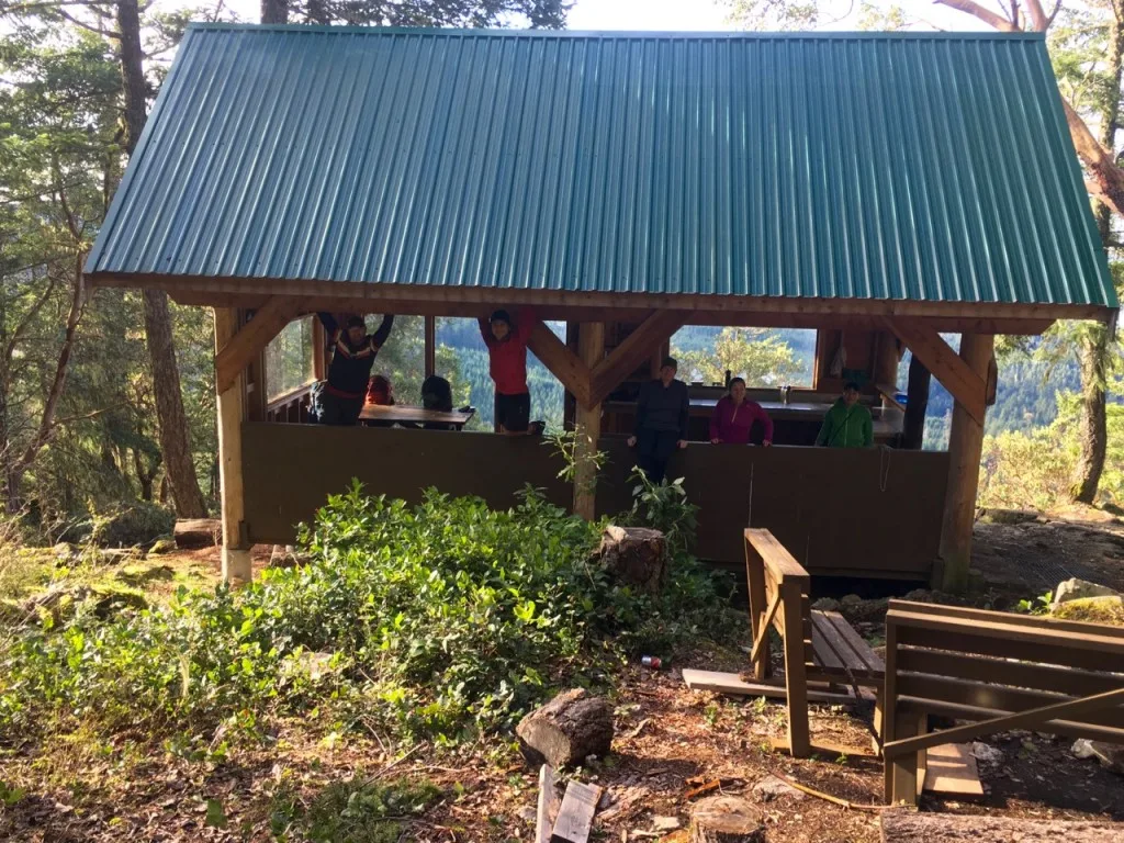
It is worth noting that many of the huts on the trail (including the two that we stayed in) are more shelter than hut: they are open (or partially open) to the elements downstairs and then have an enclosed loft for sleeping. The sleeping lofts are not insulated at all and are not bug proof.
The Manzanita Bluff hut sleeps about 12 people and the downstairs area has a wooden floor that could accommodate more people. The Rievely’s Pond hut only sleeps 8 and has a dirt floor downstairs. The Manzanita Bluff hut area has one or two small tent sites nearby. The Rieveley’s Pond hut has two or three tent sites. The trail is billed as a hut-to-hut hike, but since the huts can fill up, are often not insulated or bugproof and are about 15 to 20km apart (too far for many novice backpackers) you may want to carry a tent anyway. Some of our group carried tents. I carried a tarp for an emergency shelter.
As well, none of the huts or campsites that we saw had a bear locker or bear pole so you’ll need to bring your own cord and know how to make a bear hang. Read up on bear safety before you go.
Some of the huts (including the Manzanita Bluff hut) don’t have a nearby water source so you’ll need to plan ahead to bring your own water.
Keep in mind travel time to the Powell River area can be long as it requires two ferries with schedules that don’t line up so plan carefully.
Overall, this section of the Sunshine Coast Trail was a great three day shoulder season trip, made even sweeter by being able to stay in huts and not have to carry a tent. For me the highlights were the views from Manzanita Bluff and the Appleton Canyon section. The rest of the trail was pretty enough, but not very spectacular. I’m curious to see how the rest of the trail is and want to return to hike some more sections hut-to-hut. Do you have questions about the Sunshine Coast Trail? Ask me about it in the comments.
More Sunshine Coast Posts:
- 21 Best Hikes on the Sunshine Coast, BC
- The Best Things to do on the Sunshine Coast, BC
- Langdale Falls Hike on the Sunshine Coast, BC
- Soames Hill Hike on the Sunshine Coast, BC
- Cliff Gilker Park Hike on the Sunshine Coast, BC
- Skookumchuck Narrows Hike on the Sunshine Coast, BC
- How to Snowshoe and Ski at Dakota Ridge on the Sunshine Coast, BC
- Biking the Sunshine Coast via My Five Acres.
- Grasslands National Park Travel Guide - February 4, 2026
- The Best (and Worst) Backpacking Meals Reviewed - December 16, 2025
- My Favourite Hiking Gear of 2025 - December 9, 2025

Tyler
Sunday 7th of April 2019
whats the cost from the start of the ferries to the end of the sunshine coast trail for the whole adventure? where can you re-supply half way through?
Taryn Eyton
Monday 8th of April 2019
Hi Tyler. The cost for ferries to the Sunshine Coast varies depending on whether you bring a car and which route you take. You can find this info on the BC Ferries webpage. The cost of a water taxi to the start of the trail depends on how many people are on the water taxi and which water taxi company you use. There are a few different companies that offer the service and you have to contact them to get a quote. I haven't done the whole trail so I'm not familiar with the best places to resupply, but I do know that Powell River is the only place along the trail where it is easy to do so. Have a great hike.
Andrew
Saturday 17th of March 2018
I wrote a post about how to get to the SCT.
https://adventuringpnw.wordpress.com/2017/09/09/getting-there-2/
I hope people find it useful. If I was to get truly organized I would park the car Earl's Cove (it's free) and walk onto the ferry. On the other side I would take the rural bus all the way to Lund which we did.
I would get better organized and mail our dry food to the 2 food drops we used. Another option is to mail your food to one of the 2 companies I know who do food drops on the SCT. When you travel with a large group this is a good option.
Lynne Stafford
Thursday 26th of October 2017
Thanks, Taryn! I'm not sure yet, because I have a chance to do Mt Arrowsmith with some friends this weekend. If I go, Hans will fly me to Powell River, and I'll take the bus to the trailhead you were aiming for. That seems like a good idea to simplify the process.
Karissa Milbury
Thursday 25th of May 2017
Hi Taryn!
Thanks for posting this -- we're planning to do a thru-hike of most of the SCT next month and also want to skip the water taxi, to save time and money. If possible, can you provide more details about how to get to the trailhead where you started? Is it pretty close to town, or is it the one listed in the guidebook (for people doing the bluffs as a day hike)? We're going to arrive in Lund on the transit bus, so everything from there on out will be on foot. The maps seem to indicate that there's a way to do this but I haven't seen a trip report describing it.
Taryn Eyton
Thursday 25th of May 2017
Hi Karissa, We ended up using the trailhead that takes you on the most direct route to the Bluff hut - we had intended to use the Gilpin road trailhead but we parked too soon. You could walk the road from Lund to get to either one of these trailheads - I think the one that we ended up using is about 2km from Lund and the Gilpin road one is about 3km from Lund. You could always get in touch with Terracentric adventures and find out how much they charge for a shuttle to the trailheads or all the way to Sarah Point. They may also be able to group you in with other hikers going on the same day so it would be cheaper for all of you. Could also try asking on the Sunshine Coast Facebook page to see if any locals are available to shuttle you for a few dollars - they are a close knit friendly community up there and they are very proud of their trail.
Jane M
Thursday 27th of April 2017
Hey Taryn, I love this post. I've done a bikepacking trip on the Sunshine Coast, but never hiking/backpacking. I always wondered where all of those enticing trails I could see went!
J