
When I was researching my trip to Haida Gwaii, I kept coming across photos of a beautifully weathered shipwreck rising out of a sandy beach. I knew I had to visit it! On my trip, I hiked the Pesuta Shipwreck Trail and can confirm it’s really cool in person.
To save you from doing a bunch of googling like I did before I went (and still not finding all the info I needed), I put together this detailed hiking guide for you.
This Pesuta Shipwreck Trail hiking guide includes:
- Why hike to the Pesuta Shipwreck? What is there to see?
- History of the Pesuta Shipwreck: How did it get there?
- Trail Stats: Distance, duration and difficulty for the Pesuta Shipwreck Trail
- A Pesuta Shipwreck Trail Map that I made just for you
- How to get to the trailhead with step-by-step driving directions
- Turn-by-turn hiking directions with lots of photos
This is a sensitive wilderness area. Learn how to Leave No Trace to keep the wilderness wild. Make sure you are prepared by bringing the 10 Essentials. Get ready for adventure with this checklist of things to do before every hike.
Hey there: Some of the links in this post are affiliate links, which means I earn a small commission at no cost to you. Thanks for your support. -Taryn
Why Hike to the Pesuta Shipwreck?
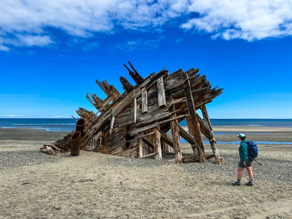
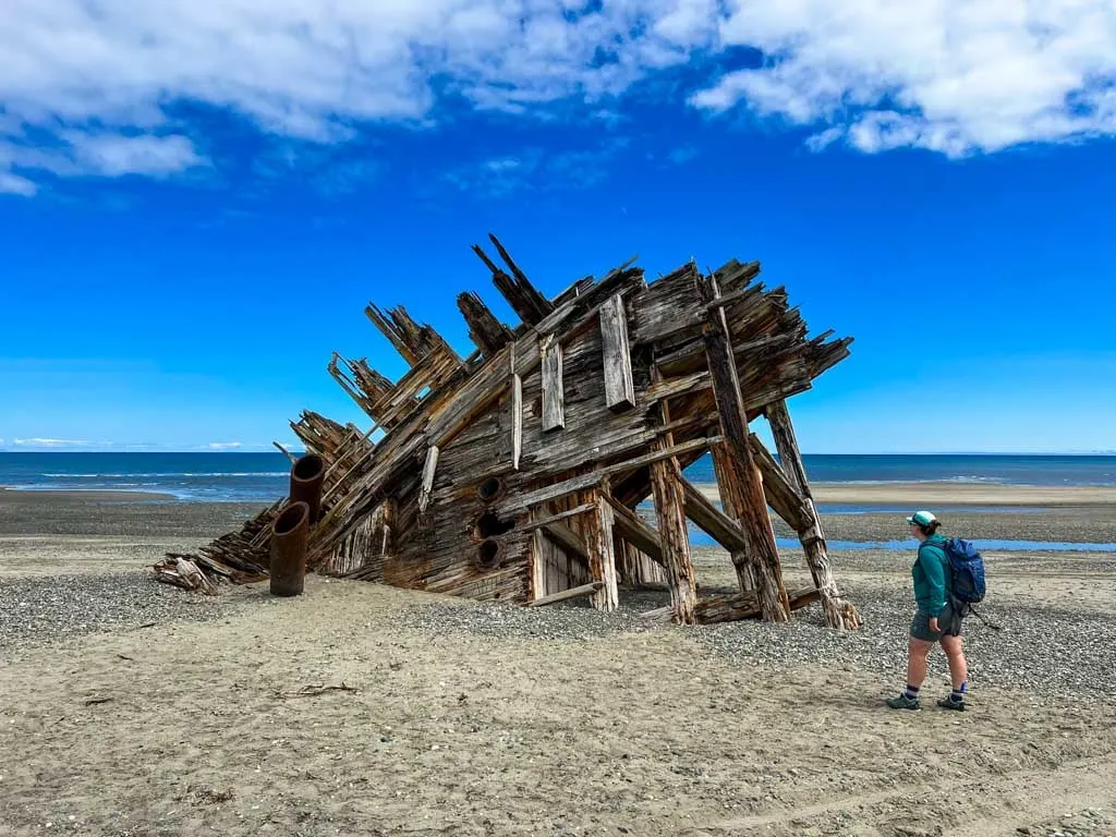
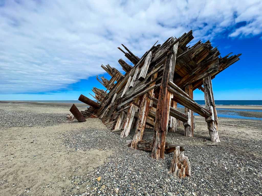
The Pesuta Shipwreck is one of the most famous things to see in Haida Gwaii. It is a striking shipwreck marooned on an isolated beach in Naikoon Provincial Park. You can find photos of the wreck on postcards, calendars, and travel guides.
The trail is one of the most popular hikes in Haida Gwaii. The easy trail follows the Tlell River and then the beach so you get to experience both rainforest and coastal ecosystems.
The Pesuta Shipwreck hike is also the start of the 89-kilometre-long East Beach Trail, which follows the coast to the northernmost tip of Haida Gwaii at Rose Spit before curling back south to end at Tow Hill.
History of the Pesuta Shipwreck
Originally known as the “Pezuta”, the Pesuta was a 264-foot (80 metre) coal-fired wooden steamship. It was built in Raymond, Washington during World War I as part of the US Shipping Board’s Emergency Shipbuilding Program to support the war efforts. However, the Pesuta was finished shortly after the war ended and considered surplus.
The ship ended up in Vancouver and in 1927 it was retrofitted as a barge to serve as a lumber carrier. On December 11, 1928, a tug was towing the loaded Pesuta past the mouth of the Tlell River in rough weather. The barge ran aground and was wrecked.
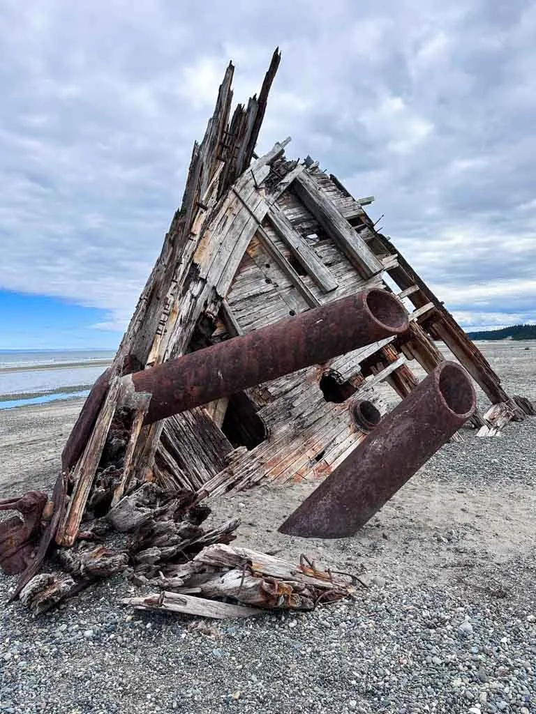
A salvage operation took what they could from the barge to Port Clements and Prince Rupert and left the rest to the elements. Decades of storms and tides have weathered the wood, but the bow of the Pesuta still sits on the beach. For some unknown reason, over the years, “Pezuta” began to be misspelled as Pesuta, and that’s what it is called today.
Trail Stats
Here are the basic stats that you need to know about the hike to the Pesuta Shipwreck:
Duration: 3 to 4 hours
Distance: 12 km round trip
Difficulty: Easy
Elevation Gain: 45 m
Best Time to Go: The trail is best between March and November. You can still hike during the winter months but expect periods of ice, snow, and frost.
Toilets: There is an outhouse at the trailhead parking area. There are no other toilets on the trail.
Dogs: Dogs are allowed on leash only as per BC Park’s regulations.
Tides: Parts of this trail may be inaccessible at the highest tides. Check the tide table for Tlell before you go and plan to hike at low to moderate tides.
Biking: The trail is open to bikes. I would recommend a mountain bike or gravel bike with wider tires. Be prepared to walk your bike a bit in the rootiest areas and in the deep sand and gravel at the end.
Caution: The second half of the trail along the beach is open to 4×4 vehicles and ATVs. Use caution when vehicles are on the trail.
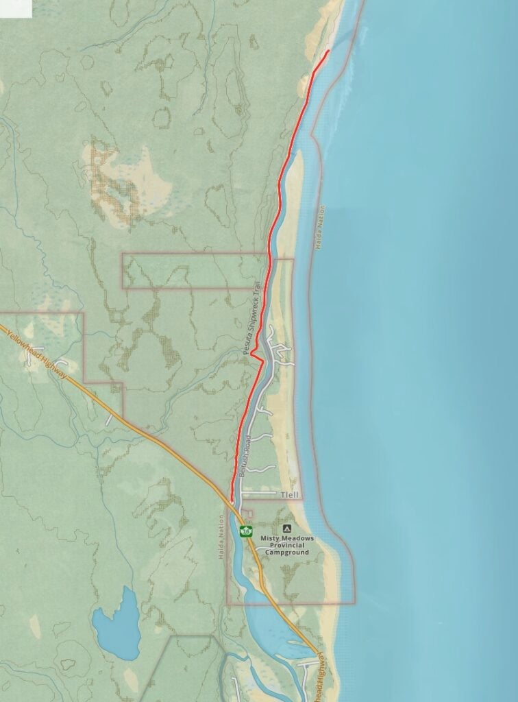
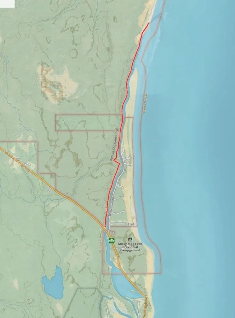
Pesuta Shipwreck Trail Map
The trail to the Pesuta Shipwreck is fairly straightforward because, for the most part, you just follow the beach. There are also signs at a few of the potentially confusing points. But to help you find your way, I made you a trail map using Gaia GPS, my favourite GPS mapping app. Click through to zoom in and explore.
How to Get to the Pesuta Shipwreck Trail
The trailhead for the Pesuta Shipwreck Trail is fairly easy to find. It is located on the side of Highway 16 next to the Tlell River Bridge. The trailhead is also known as the East Beach Trailhead since the hike to the shipwreck is just the first portion of that 89-kilometre-long backpacking trip.
If you are coming from the south, reset your odometer at the Crow’s Nest Cafe in Tlell. Drive 6.5 km north on Highway 16 and look for the trailhead on the right just after you cross the bridge over the Tlell River. Click here for Google Maps driving directions.
If you are coming from the north, reset your odometer at the turn-off to Mayer Lake (Naikoon Provincial Park). Drive 10 km south on Highway 16 and look for the trailhead on your left just before you cross the bridge over the Tlell River. Click here for Google Maps driving directions.
Pesuta Shipwreck Trail Hiking Directions
The trailhead has a large info sign about the Pesuta and East Beach Trails as well as picnic tables. There is also an outhouse a few metres down the trail. There are two phases to the trail: the first 2.5 km in the forest and the second 3.5 km on the beach.
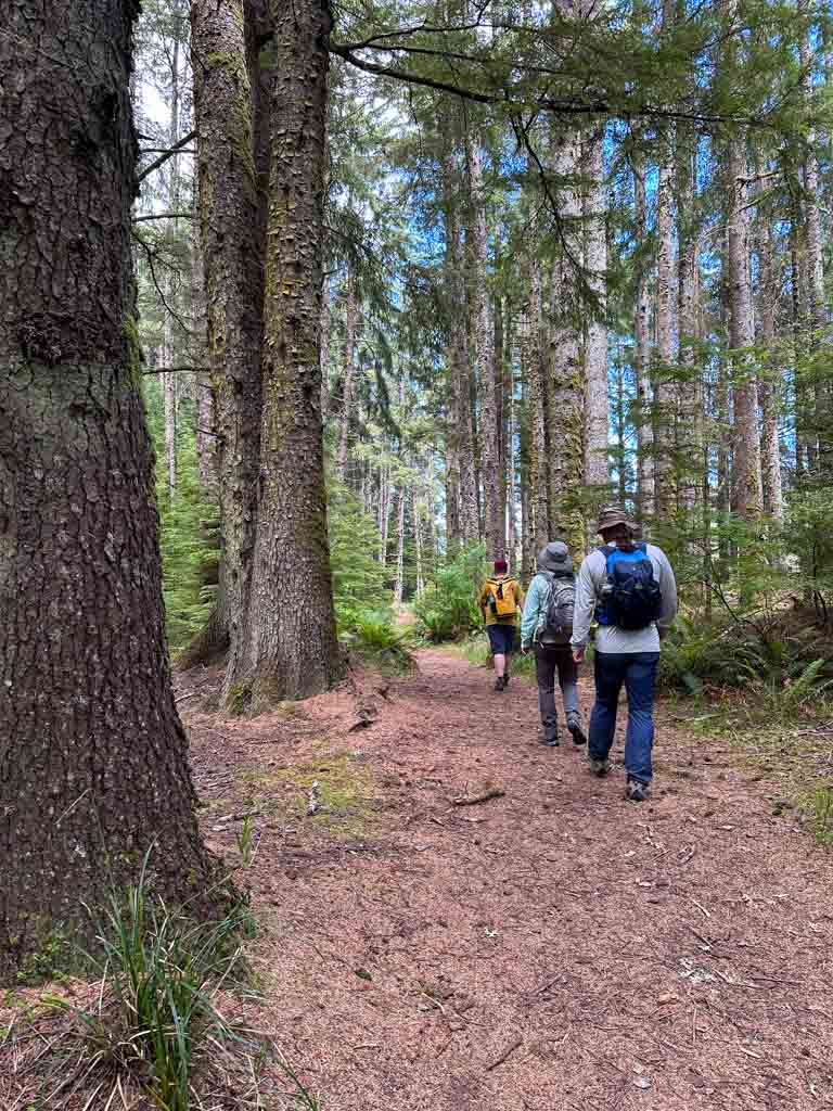
The Forest
The first part of the trail is fairly flat as you walk through a forest of tall spruce and hemlock trees with lots of ferns.

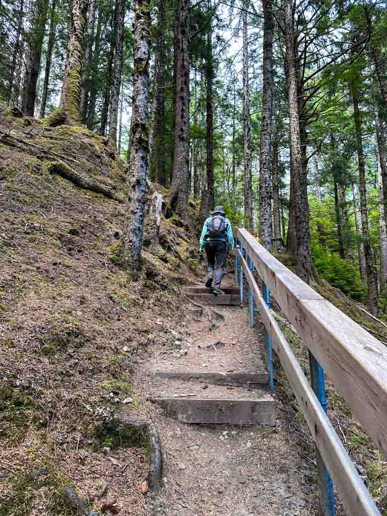
After a few minutes, follow the trail to the left as it heads uphill on a staircase built into the side of the hill. (The trail to the right goes to the river.)

From here, the trail follows the edge of the high river bank with the Tlell River downhill to your right. The footbed here can be very rooty and a little bit muddy in a few places, so watch your step. But in general, it is easy walking.
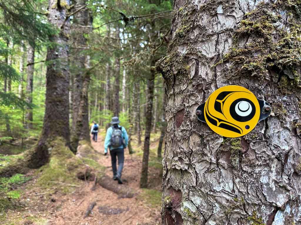

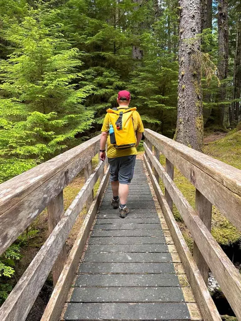
About 1.5 km from the start, ignore a trail descending to the right that goes to the river. Stay on the main trail as it swings around to the left and then crosses a few wooden boardwalks before arriving at the wooden bridge across Geikie Creek.

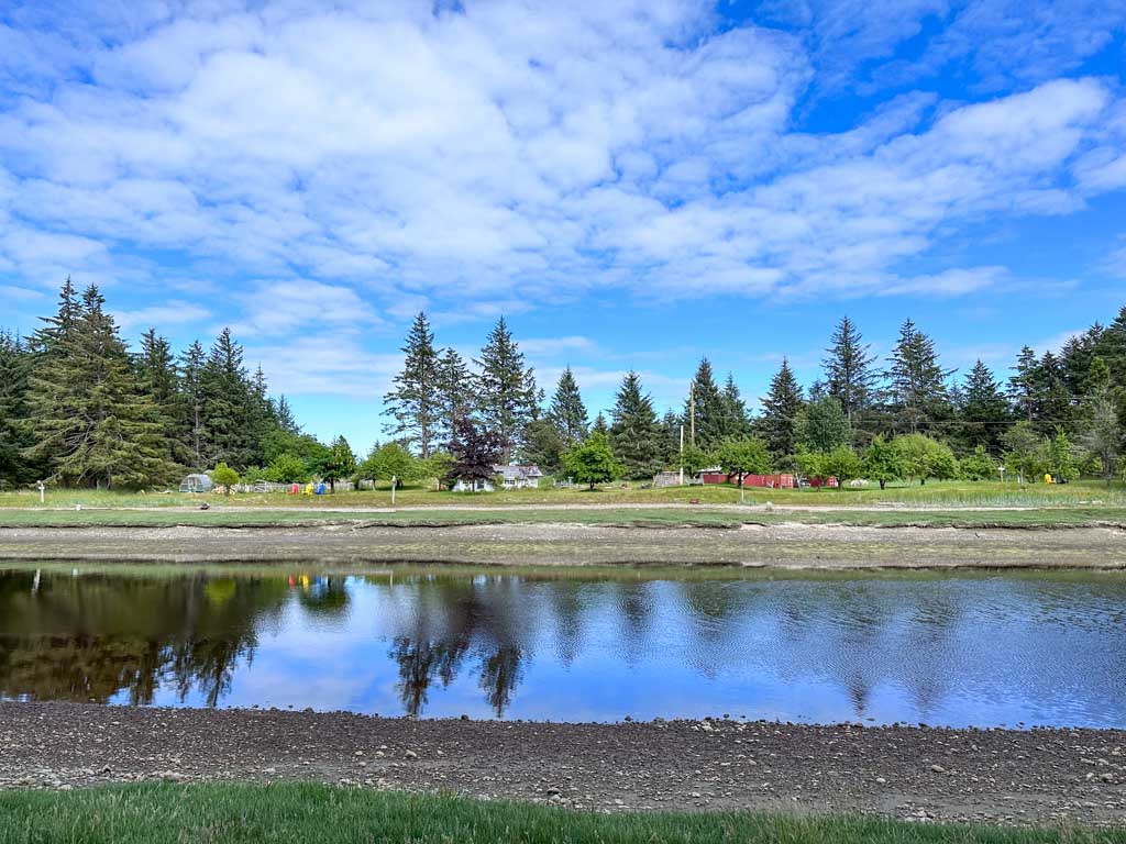
A few minutes later, the trail emerges from the forest on the banks of the Tlell River. You can see the gardens at the Haida House at Tllaal Hotel on the other side. A sign near here says that the shipwreck is 2.5 km away. It’s actually about 3.5 km from here.

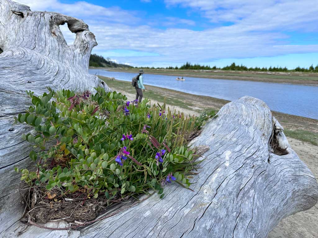
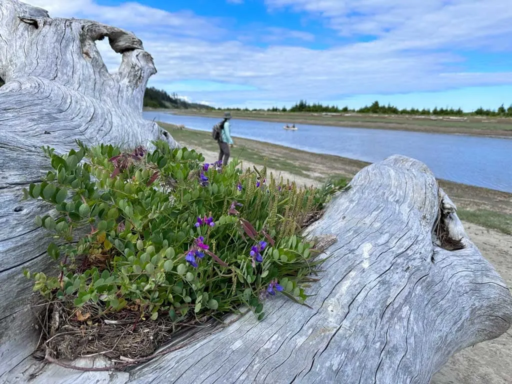
The Beach
The trail follows a wide dirt road beside the river for the next two kilometres. In August and September, watch for salmon jumping as they head upstream to spawn.
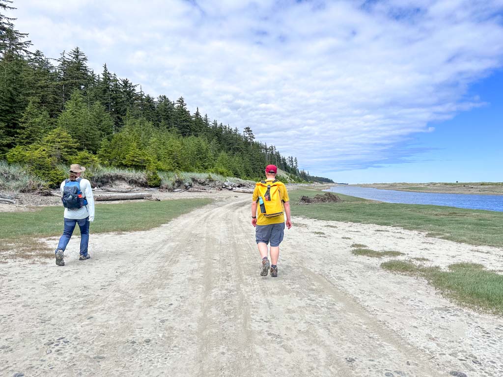
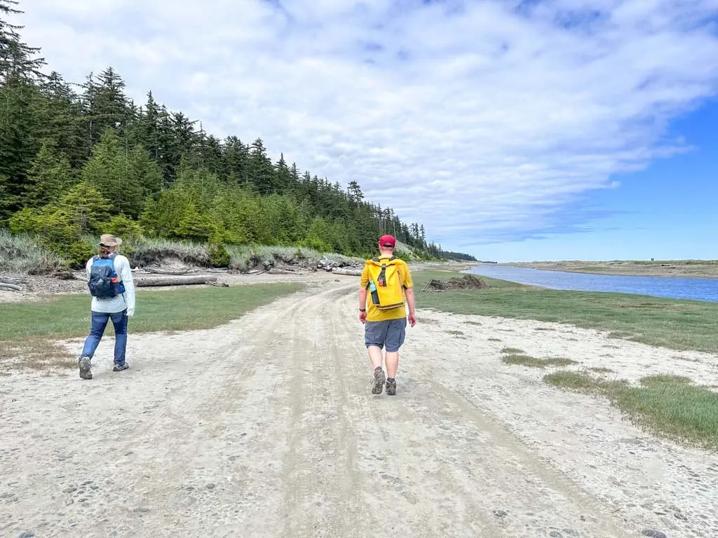
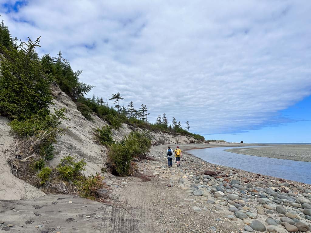
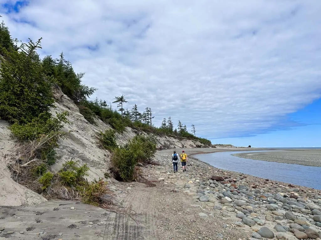
As you near the river’s mouth, the vegetation on the other side of the river thins as it transitions to sand dunes. You can hear waves breaking on the other side of the spit in the Hecate Strait. The forest on your right also slowly gives way to tall sand dunes and the road becomes sandier.
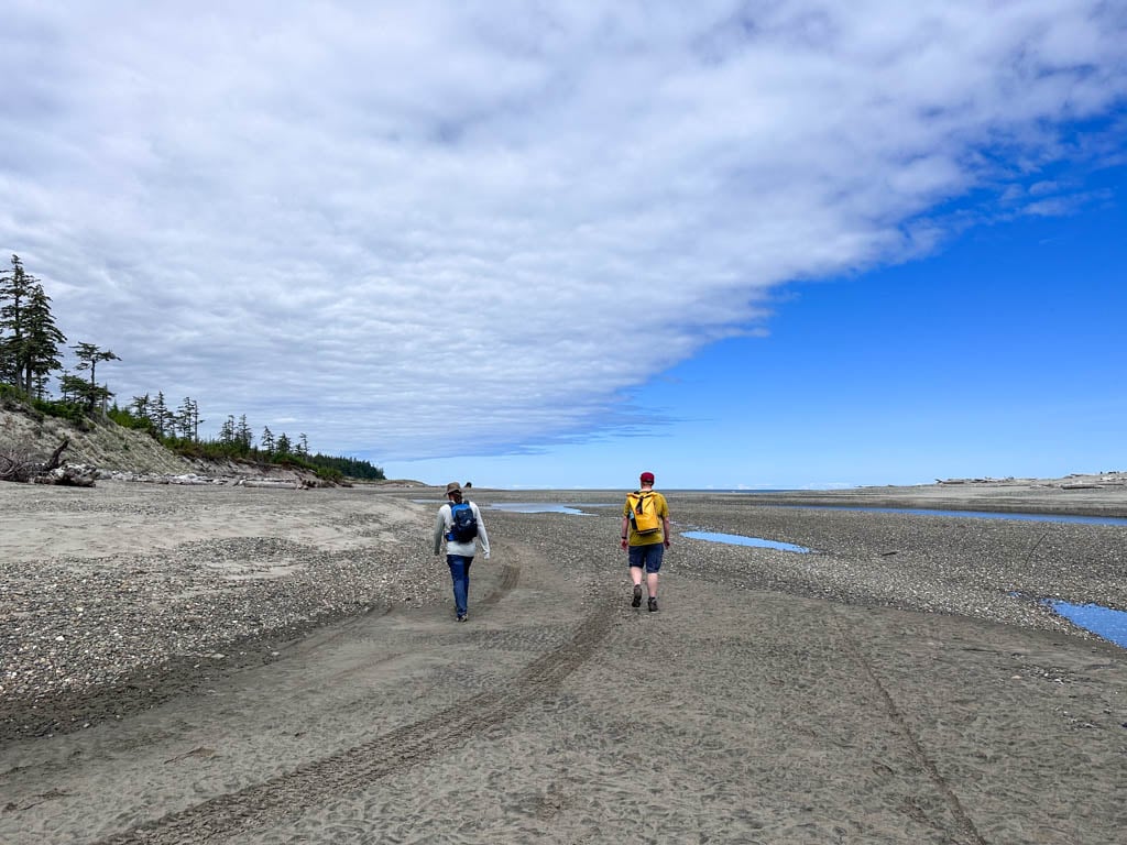

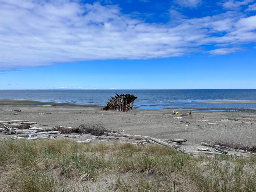
About 4.5 km from the start, reach the mouth of the river. The dirt road gets fainter here as you continue across the beach. In some areas, you will sink in the soft sand or loose gravel. Keep walking towards the wreck of the Pesuta, which you can see in the distance.
Reach the Pesuta Phipwreck about 6 km from the start. Take some time to wander around and marvel at the nearly 100-year-old structure. All that remains is the bow of the ship, but you can still see the metal portholes. The flatness of the beach makes the Pesuta appear huge.


Take some time to have a snack, snap some photos, and enjoy the scenery. When you are finished, retrace your steps back to the trailhead. Be sure to pay attention to signs to follow the trail off the beach road and back into the forest.
So that’s everything you need to know about hiking to the Pesuta Shipwreck in Haida Gwaii. If you have questions about the hike, leave them in the comments so I can help you out.
READ NEXT:
- Things to Do in Haida Gwaii
- The Ultimate Guide to Gwaii Haanas National Park Reserve
- Tow Hill and the Blow Hole Hike in Haida Gwaii
- Inside Passage Ferry from Port Hardy to Prince Rupert, BC
- 20+ Things to do in Prince Rupert, BC


- Best Sun Hoodies for Hiking - June 3, 2026
- Lower Stein Valley Trail Hiking and Backpacking Guide - May 27, 2026
- The Best Things to Do in Vernon, BC - May 21, 2026