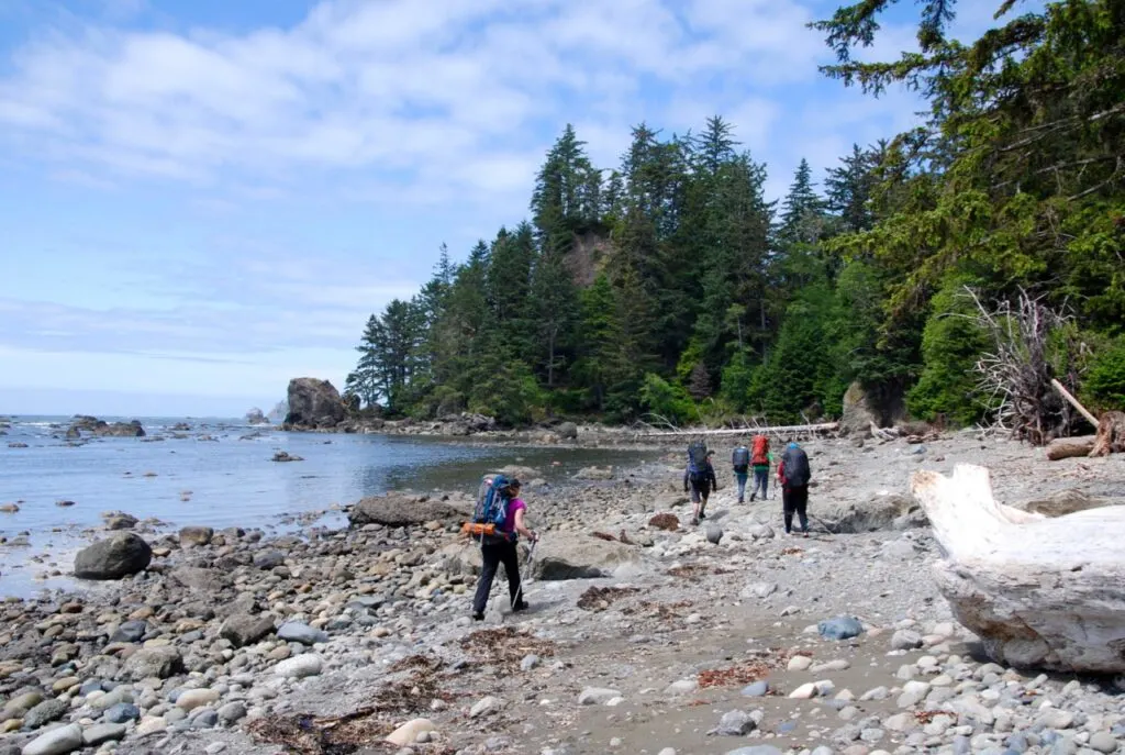
There are two ways to hike the Ozette Loop in Olympic National Park. The first is as a day hike, which takes 4-5 hours. But I prefer the second way – as a backpacking trip. That way you get to camp on wilderness beaches and really savor the scenery.
The Ozette Loop is gorgeous! I like this area so much I’ve backpacked here twice. It has great tide pools, and beautiful sunset views. And about 1/3 of the hike is directly along the coast. As day hike, it’s moderate. But if you split it up into 2 or 3 days as a backpacking trip, it’s ridiculously easy, which makes it great for kids and beginners.
This is a sensitive wilderness area. Learn how to Leave No Trace to keep the wilderness wild. Make sure you are prepared by bringing the 10 Essentials. Get ready for adventure with this checklist of things to do before every hike.
Hey there: Some of the links in this post are affiliate links, which means I earn a small commission at no cost to you. Thanks for your support. -Taryn
Ozette Loop Trail Overview
Distance: 9.2 mi (15 km)
Duration: 4-5 hours (day hike) or 1-2 nights (backpacking trip)
Season: Open year-round but best between April and October
Elevation Gain: 164 ft
Difficulty: Moderate (day hike) or Easy (backpacking trip)
Dogs: Not allowed.
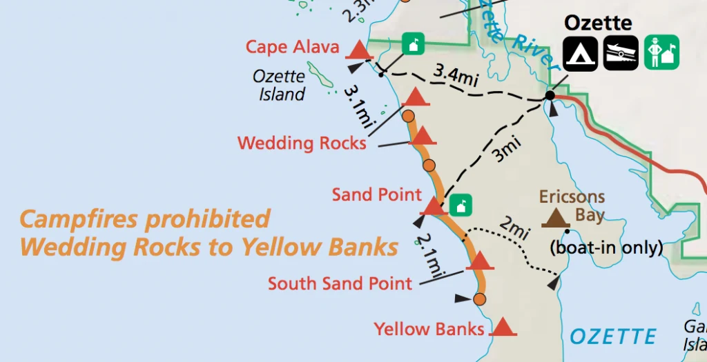
The Ozette Loop trail has an equilateral triangle shape with the parking lot at it’s apex (in fact it is also known as the Ozette Triangle Trail). Two sides of the triangle are trails through the woods out to the coast, and the third side where the campsites are is along the coast.
The loop is only 9.2 miles (15km) long so you can definitely hike it in one day. But given how long it takes to get there (and how beautiful the area is) I recommend camping and spending a few days on the trail. It’s an easy trip that is perfect for beginner backpackers or kids.
The coastal section is also part of the much longer North Coast Route in Olympic National Park so there are lots of options for extending your trip. (You can hike from Cape Alava all the way to Shi Shi Beach.)
Ozette Loop Trail Fees, Permits and Reservations
Olympic National Park Entrance Fee
You need to buy a Park Entrance pass for your car to hike or camp in the park. It’s $30 per vehicle and is good for 7 days. You can buy your pass online at Recreation.gov or in the park. Leave it on the dash any time you park your car inside the National Park.
If you are day hiking, this is the only fee you need to pay.
Camping Permits and Fees
You must obtain a backcountry permit to camp at any of the campsites on the Ozette Loop Trail or any other backcountry location in Olympic National Park.
You can obtain a permit online via Recreation.gov. This is a very popular area and it does get fully booked up. Your best bet is to come before Memorial Day (the last Monday in May) or after Labour Day (the first Monday in September) or plan a trip that avoids weekends.
The earliest you can make a reservation for a permit is six months before your trip. Reservations cost $6 per trip. You will also need to pay a wilderness fee of $8 per person per night.
READ NEXT: 2022 Washington Backpacking Reservation Dates
Ozette Loop Trail Description
Unlike some loop hikes, there is no recommended direction of travel on the Ozette Loop. However, I like to start with the southern section and then hike north as the sun as it at your back rather than in your eyes.
From the parking area, follow the trail across the bridge. A few minutes later, arrive at a junction, where you go left. The trail on the right is your return route.
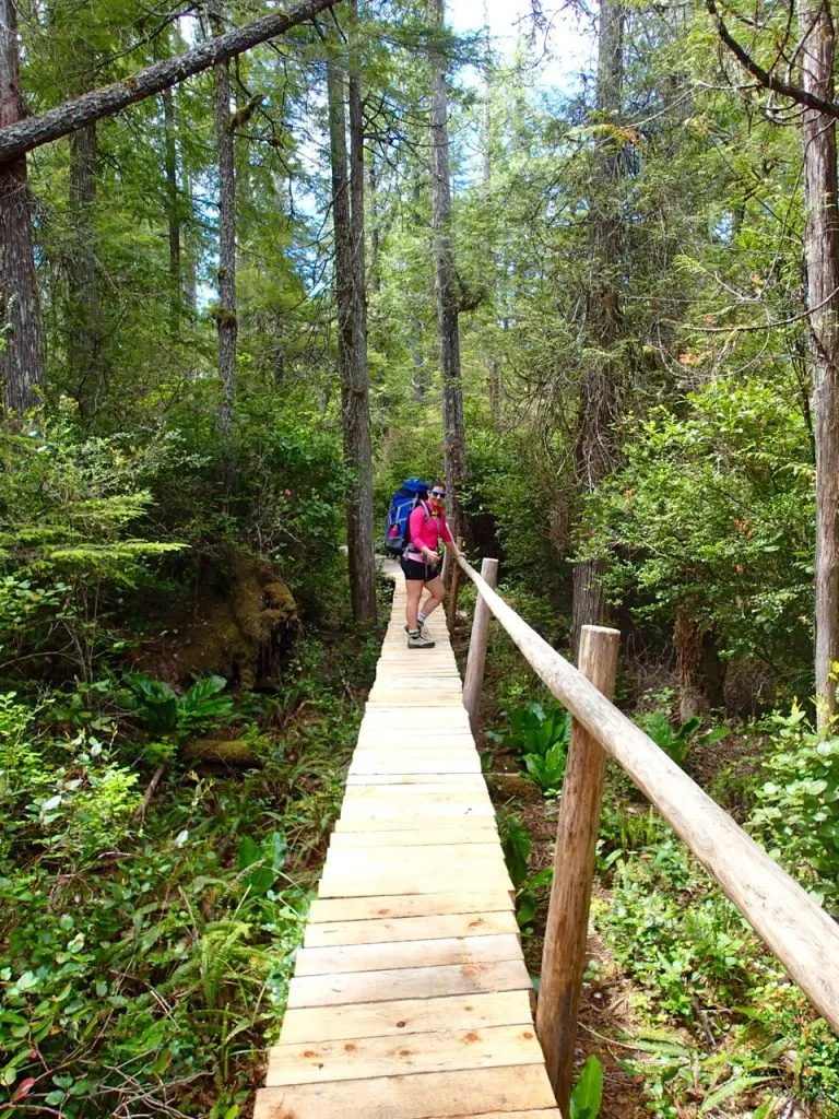
For the next three miles the trail heads southwest towards the ocean on a mix of gravel trail and boardwalks. In general, it’s very easy hiking, unless the boardwalks are slippery.
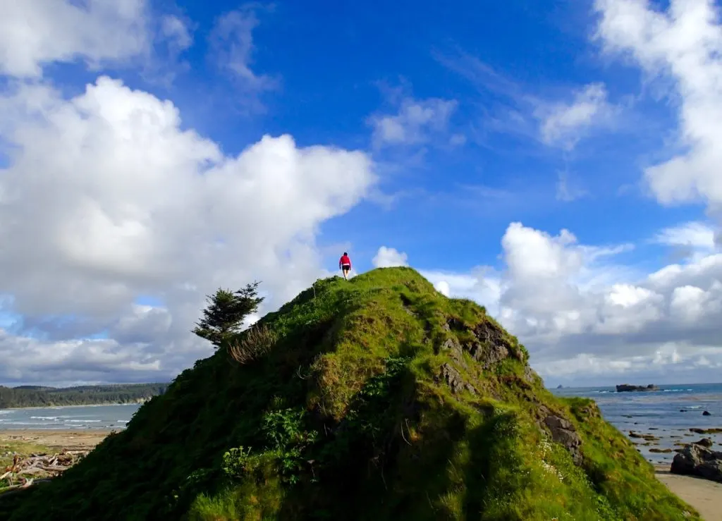
The trail emerges on the beach at Sand Point. Take some time to explore the area including a collapsed sea stack hill you can climb for great views. If you are camping and want to extend your trip you can turn left here and hike south down the beach to Yellow Banks.
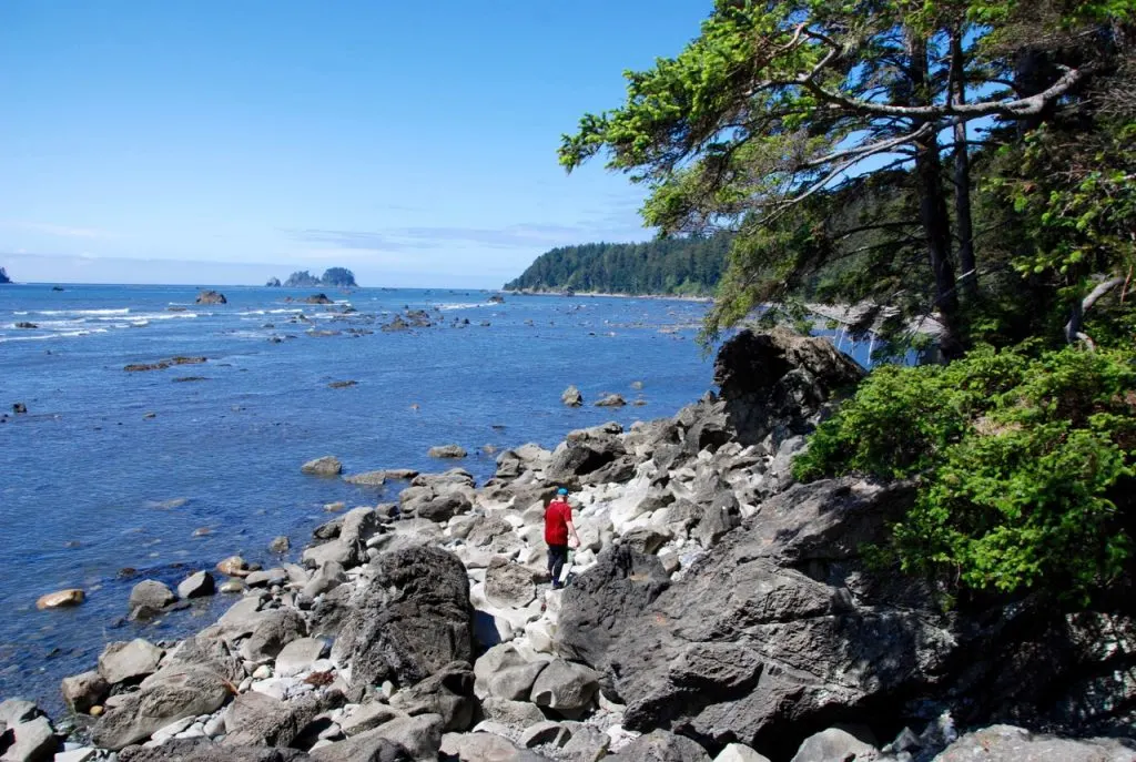
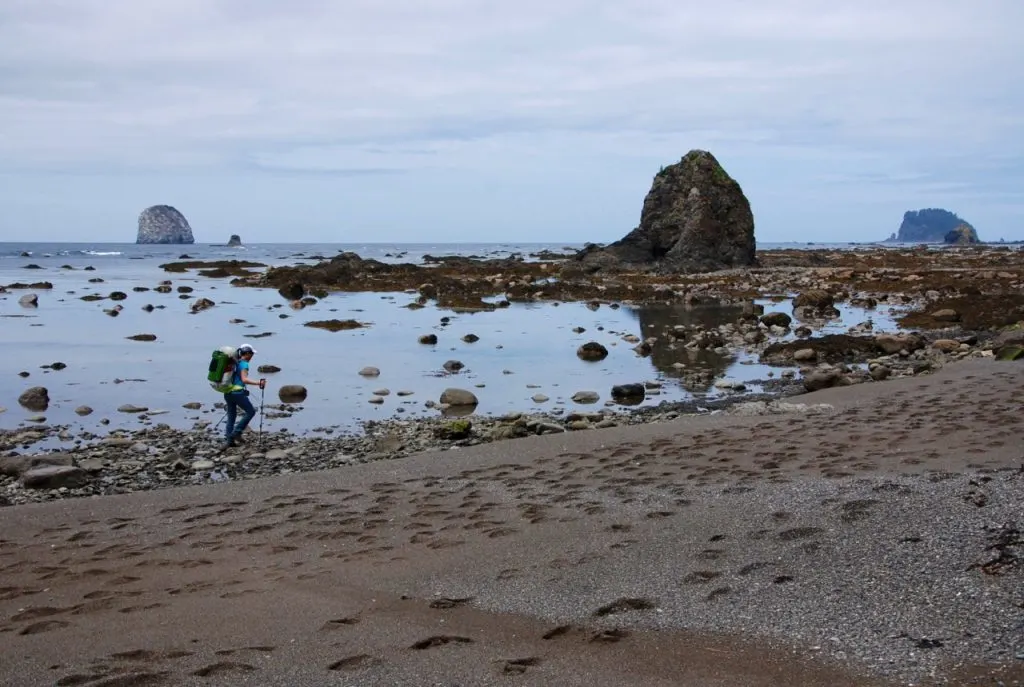
But if you just want to complete the Ozette Loop hike, turn right and follow the coast. The next three miles will be along the beach. Sometimes it is easy walking on sand, but in other places, you may have to pick your way across slippery rocks. Try to time your trip for low tide for the easiest passage.
READ NEXT: Coastal Hiking Tips: Advice for Beach Hiking and Backpacking
About four miles from the start (and one mile from Sand Point) you will arrive at a tidal obstacle. If the tide is below 5.5 feet, you can walk on the beach. If it is not, you will need to take a short and rough overland trail. Look for the red and black circular markers to find the bypass trail.
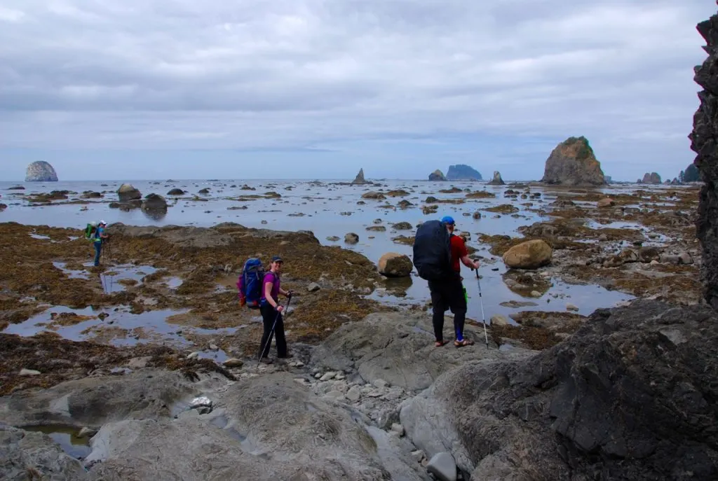
Continue along the beach. About five miles from the start you will arrive at Wedding Rocks. If you look carefully here, you will discover some Indigenous petroglyphs.
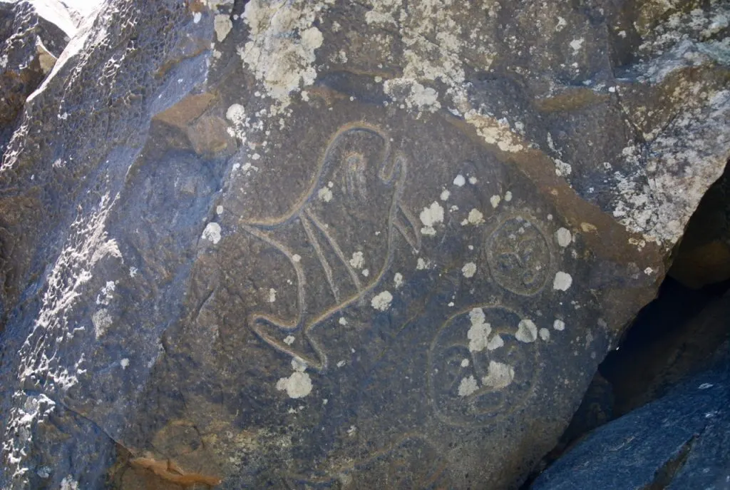
Wedding Rocks is another tidal obstacle. You can remain on the beach if the tide is 5 feet or lower. If not, you can scramble around on the rocks or use a network of trails that cross over the bluff.
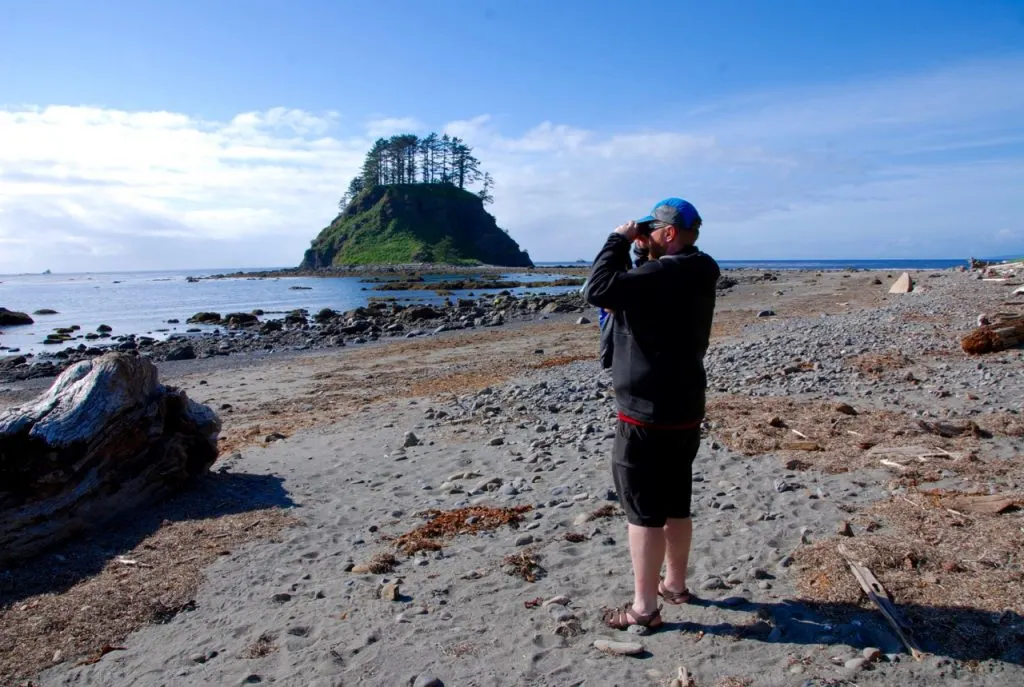
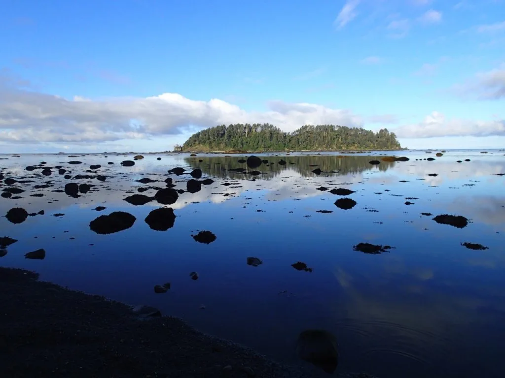
Keep hiking down the beach until you reach the camping area at Cape Alava. It has great views of Ozette Island just offshore as well as Tskawahyah Island to the north. You may also be able to spot sea otters in the kelp forests just offshore.
The land just to the north of the campground (including Cape Alava proper and Tskawahyah Island) are part of the Ozette Indian reservation so you can’t camp there and you should not climb on the island as it is sacred to the Indigenous Makah people (although you can walk the beach around it at low tide).
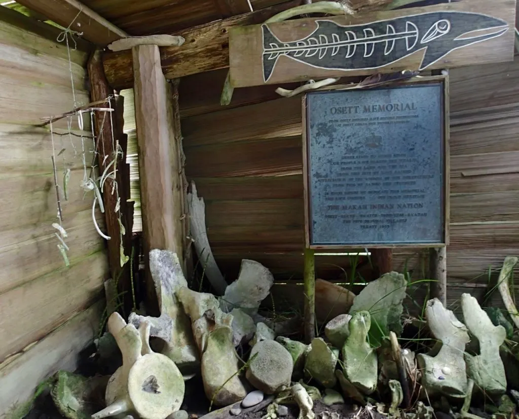
The area was the site of an archeological dig in the 1980s as historically it was an important village. Today, the only thing that remains now is a falling down shack that was once a ranger station and a little hut with a memorial plaque and some pieces of whale bone.
Once you have finished exploring Cape Alava, find the start of the inland trail in the campground near the creek. Follow the trail for three miles as it heads back to the parking lot on a mix of boardwalk and gravel trail. It is mostly in the forest, but does pass through some sections of interesting coastal bog.
Arrive back at the junction and go left and over the bridge to return to the parking lot.
How to Get to the Ozette Loop Trail
There is no public transportation to the trailhead so you’ll have to drive yourself. However, there may be hiker shuttle companies operating in the area – call the Wilderness Information Center to ask.
Travel time to the trailhead is time consuming: about 6.5 hours from Vancouver or about 4.5 hours from Seattle both of which involve a trip on a Washington State ferry.
If you need a car, the best places to rent a car are Vancouver or Seattle. You can also rent cars in Port Angeles. I use Discover Cars since it lets you compare prices from lots of different companies. That way you can be sure you are getting the best deal.
There is a big gravel parking lot at the trailhead. You must display proof of National Park entry fees on your dashboard.
Where to Stay Near the Ozette Loop Trail
Given the driving distance to the trailhead, you may want to stay in the area the night before you start the trail.
Hotels Near the Ozette Loop Trail
There are several good hotels in Port Angeles, the closest city to the trailhead at 2 hours away. The Aircrest Motel gets great reviews and is budget priced. The Red Lion Hotel is right on the harbor and has great views.
There aren’t a lot of places to stay closer to the trailhead since it is such a rural area. One of the closest places is Curley’s Resort in the town of Sekiu, which is 40 minutes away.
Camping Near the Ozette Loop Trail
There are several campgrounds in between Port Angeles and the trailhead.
- Lake Ozette campground in Olympic National Park:$20/night, first come first served, 15 sites, right at the trail head.
- Olympic National Forest Klahowya Campground along the Sol Duc River on highway 101: $17/night, first come first served, 50 sites, 1.25 hours from the trailhead.
- Fairholme campground in Olympic National Park on Lake Crescent: $24/night, 88 sites, reserve at Recreation.gov, 1.5 hours from the trailhead.
Tides on the Ozette Loop Trail
Unlike the rest of the Olympic coast routes, you aren’t entirely dependent on the tides on the Ozette Loop since there are rough bypass trails around both of the tidal obstacles. Large red and black circular markers show all the places where the main trail or a tidal obstacle bypass trail hits the beach. You’ll want to print out and carry the La Push tide table with you along with a wristwatch.
There are two places on the loop where you need to be aware of the tides: one mile north of Sand Banks and at Wedding Rocks. Find details on both in the trail description above.
Backcountry Camping on the Ozette Loop Trail
The main camping areas on the Ozette Loop are the two locations where the inland trail hits the beach: Sand Point and Cape Alava. There are also several other sites along the trail or nearby.
Camping at Sand Point
The Sand Point campsite has a pit toilet and numerous campsites in the forest. With a few exceptions, the campsites at Sand Point do not have views as they are set back in the trees. You can also camp on the beach above the high tide line but in some places there may not be much beach left when the tide comes in. Right at the point, there are two grassy collapsed sea stack hills that you can climb for a great view.
The main water source at this campsite is Wish Creek, located about 400 meters down the beach to the south of the point. You may have to walk up into the forest along the creek bed to find a place where it is flowing deep enough.
Campfires are not permitted at Sand Point.
Camping at Cape Alava
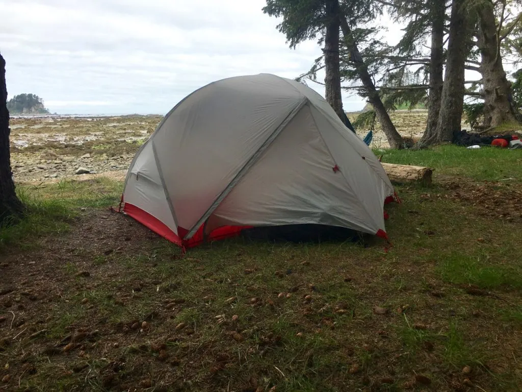
Cape Alava has quite a few very nice campsites that are off the sand but have a view of the water or you can camp on the beach above the high tide line.
This campsite has two pit toilets. One is easily visible from the main trail through the campsites. The other one is hidden a bit behind some trees directly behind a campsite at the northern end of the campground (I didn’t even know it was there until my third visit to the area!)
The water source at Cape Alava is located right near where the inland trail hits the beach and there is a log bridge over the creek so it’s hard to miss. However, the creek often has very low flow so you will have to climb down into the creek bed and follow it inland for a bit. Alternately you can walk out to Cape Alava, then about 400m down the beach to the north to find a better water source hidden back in the trees next to a couple (illegal) campsites.
Campfires are permitted at Cape Alava but you can only use driftwood (not wood from the forest) and there isn’t that much of it.
Other Camping Options on the Ozette Loop
If you want to beat the crowds at Sand Point and Cape Alava you have a few other options for camping.
Camping at South Sand Point
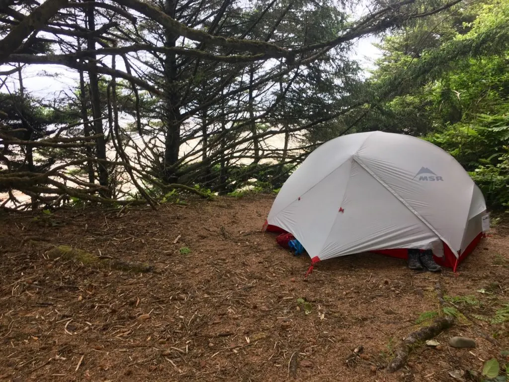
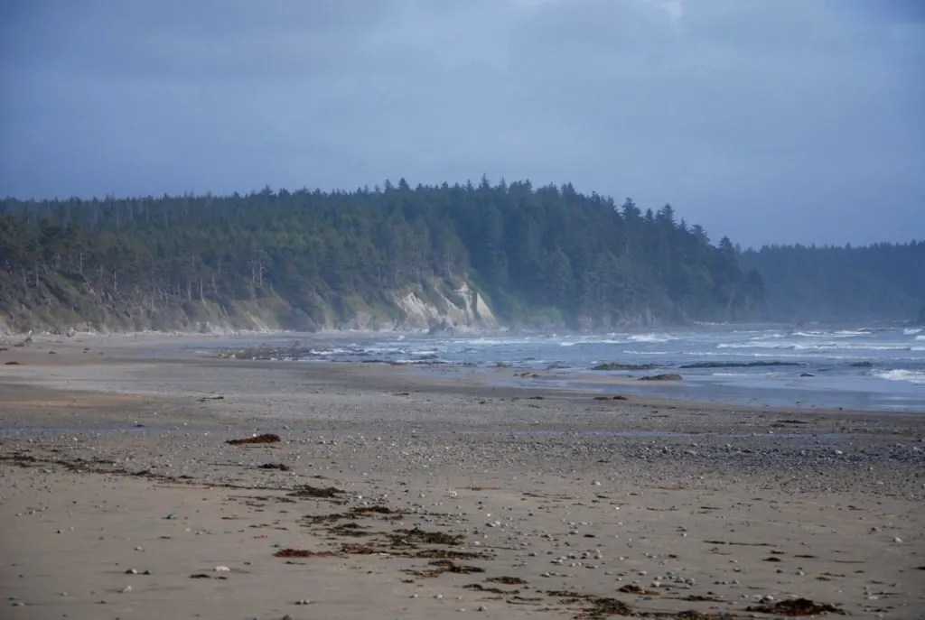
On my last trip we made a reservation for the campsite at South Sand Point, about a mile south of the main Sand Point camping area and had it all to ourselves. This campsite has 4 or 5 level tent sites in the trees on a bluff above the beach, a throne style pit toilet and a creek for water. Despite what is marked on some maps, you can find the campsite right where the South Sand Point Trail to Lake Ozette meets the beach. Campfires are not permitted at South Sand Point.
Camping at Wedding Rocks
You can also make reservations to camp at Wedding Rocks, a rock outcropping with some Indigenous petroglyphs. The camping here is not actually right at the rocks but at a few locations just to the south or north up the bank in the trees. The sites aren’t marked.
There are no pit toilets so you will need to dig a cat hole and go to the bathroom the Leave No Trace way. There are also no water source so you will have to haul water in from one of the sources near Cape Alava or Sand Point. Campfires are not permitted at Wedding Rocks.
READ NEXT: Backpacking Checklist: Gear You Need To Go Backpacking
Ozette Loop Trail Backpacking Itineraries
One Night: Break the trip up into one 3 mile day and one 6 mile day, staying overnight at either Sand Point or Cape Alava. camp about halfway through the loop at Wedding Rocks to make two 4.5 mile days.
Two Nights: For a very relaxed trip, stay one night at Cape Alava and one night at Sand Point, hiking 3 miles each day. Or stay one night at South Sand Point and another at Cape Alava. Staying at South Sand Point will add 2 miles to your trip.
READ NEXT: Backpacking for Beginners: Tips for Getting Started
Food Storage on the Ozette Loop Trail
Bear Canisters Required
Apparently the racoons on the Olympic Coast are particularly intelligent and have figured out how to eat hiker’s food if it is hung in a tree (which usually works to keep bears out if it).
The National Park’s Wilderness Food Storage Policy now requires that all backcountry campers on the entire coast store their food in bear canisters.
You can borrow canisters from the Olympic National Park Wilderness Information Center (WIC) in Port Angeles. There is no charge as long as you have a wilderness permit. They even have a handy drop slot if you need to return your canister after they have closed for the night.
Bear Canister Packing Tips
Travelling with a bear canister requires a bit of advance planning. Store all of your scented items (toiletries, etc.), garbage and food in the canister at night or if you aren’t right next to it (for example if you are off on a day hike).
Plan lightweight and compact meals and bring minimal toiletries. If you pack efficiently you can usually share one canister between two people for a two night trip. Planning for one canister per person (or perhaps two canisters between three people) is a bit more prudent.
Most people choose to put the canister inside their pack as they are difficult (though not impossible) to strap to the outside. In camp, store your canisters away from your tent and kitchen area. Make sure they can’t be rolled away (or into the water!) Here are more tips about using a bear canister.
If you plan to do multiple trips in areas where bear canisters are required, it’s easier to just buy your own instead of renting one. I own both the Garcia Machine Backpackers Cache and the Bear Vault. I prefer the Bear Vault since it has straight sides so it’s easier to pack, and it’s clear so you can see whats at the bottom. Check prices: MEC | REI | Amazon.
Water Sources and Water Treatment on the Ozette Loop Trail
There are few water sources on the trail: just the ones already mentioned at South Sand Point, Sand Point and Cape Alava. The water sources are coastal swamps and can be quite tea-colored. Some people prefer to add drink powder to their water to disguise the color.
Later in the season the streams can be dry so inquire with the WIC before your trip. As well, reports show that there are parasites (cryptosporidium and giardia) in the streams. Iodine is not an effective treatment for parasites so filter or boil your water before drinking.
I use the Platypus Gravity Works filter. You can fill up the dirty water reservoir at the creek, carry it back to the campsite, then let gravity do the work of filtering your water. We have the 2L size, but our friends have the 4L size which is great for groups. Buy: MEC | REI | Amazon.
Further Reading and Maps for the Ozette Loop Trail
You can find more information about the Ozette Loop on the Olympic National Park website. It has a good overview map of the park with campsites and trails marked. For actual travel on the trail you should purchase the North Olympic Coast topographic map by Custom Correct maps as it has trails, distances, and tidal obstacles marked. You can buy it online from REI. You can also buy it at the Wilderness Information Center in Port Angeles
Before you hike the trail check the trail conditions page on Olympic National Park website. You can also read trip reports on the Washington Trails Association website.
READ NEXT:
- Coastal Hiking Tips: Advice for Beach Backpacking
- Backpacking Checklist: Gear You Need To Go Backpacking
- 20+ Ways to Reduce Your Backpack Weight
- Washington Backpacking Reservation Dates
- 9 Best Washington Road Trips
- Shi Shi Beach Hiking and Camping Guide
- How to Hike and Camp at Toleak Point in Olympic National Park
- Backpacking for Beginners: Tips for Getting Started
- Backpacking with Kids: Tips from a Tween and His Mom
- Best Hiking Underwear For Women and Men - June 25, 2024
- 60 Cozy Cabins Near Vancouver for a Weekend Getaway - May 31, 2024
- The Ultimate Self-Guided Tour of Stockholm Subway Art - May 18, 2024

Marge Serisky
Saturday 12th of August 2023
Hi Taryn, We are going back to Olympic to repeat the Ozette Loop as a remembrance to 3 family members we did the trip with in 2011. We are specifically trying to figure out where the large rock with a large hole in it is located on the trail. It is important for us to be able to walk to this rock once again to honor our loved ones. Do you remember the location and how far it is from each ends of the trail? We are doing as a day hike this time, but want to make sure that we go when tide is at the lowest needed for access. Thanks!
Taryn Eyton
Sunday 13th of August 2023
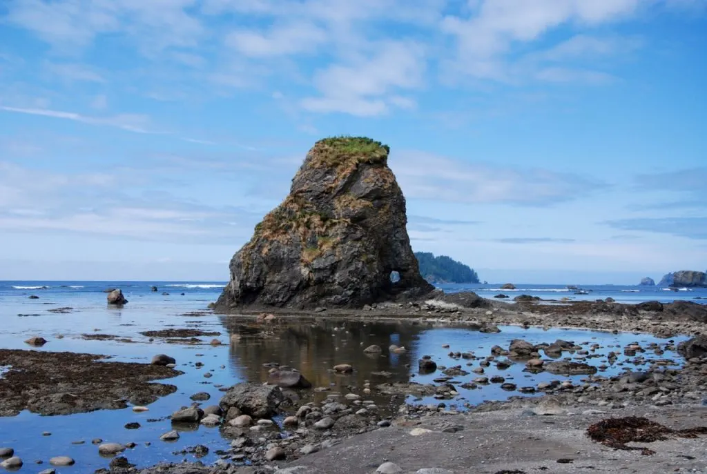
Hi Marge. Do you mean the one that looks a bit like an elephant near the top of this post? That rock is about halfway in between Sand Point and Wedding Rocks.
Joe
Thursday 14th of April 2022
Hi there ! Great article. I'm planning to do this hike in the next couple of days. I think by the time i reach the beach area, it is supposed to be midway between the last low tide and an upcoming high tide. Is it pretty straightforward to find the markers that take you around in cases of high tide?
Taryn Eyton
Friday 15th of April 2022
There are big red and black circle markers that show the tidal bypass trails - they are commonly used so they shouldn't be hard to find.
Sean Morrison
Friday 7th of May 2021
Thanks so much for the guide. I'm doing a solo trip and the practical info about different campsites is especially helpful. Just a heads up for anyone reading this now, the reservation land is currently closed, meaning anything north of the Cape Alava campsites is off limits.
Dessi W Vandre
Thursday 28th of February 2019
What an awesome trip description. I'm coming from Maryland and have 2 days to spend at Olympic National Park. I wanted a one night easy to medium hike in April and this looks like it will be perfect. Before I pull the trigger though, is there another recommendation you have that fits my trip specifications? Thanks for all the details, planning the trip from the other side of the country just got a lot easier!!!
Taryn Eyton
Saturday 2nd of March 2019
Hi Dessi. The Ozette Loop is a great option for a one night spring hike. I think it meets all your requirements. The only other hike I might recommend is Shi Shi Beach. It's also pretty easy. I have a guide to it here: Have a great trip!
Pavel
Thursday 21st of June 2018
Thank you so much for this article, much more informative and comprehensive than the official (ONP) one.