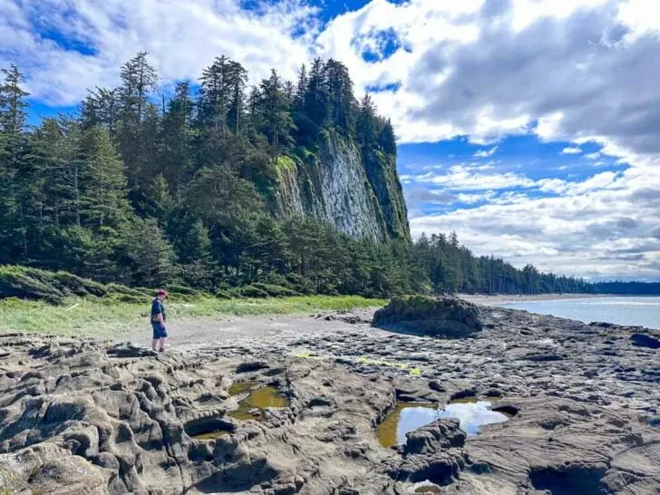
Tow Hill is one of the best hikes in Haida Gwaii. The short trail is located in the northern part of the archipelago in Naikoon Provincial Park. Known as Taaw Tldáaw in Haida, Tow Hill is next to the Blow Hole, another gorgeous natural feature.
I couldn’t find that much reliable info about it before my trip, so after my visit I put together this hiking guide for you. It has details on my recommended loop hike route that takes you to both Tow Hill and the Blow Hole.
In this Tow Hill hiking guide you will find:
- Why Visit Tow Hill? What is there to see?
- Indigenous context: Why is Tow Hill important to the Haida?
- Geology: How was Tow Hill formed?
- Trail Stats: Distance, duration and difficulty for the hike to Tow Hill and the Blow Hole
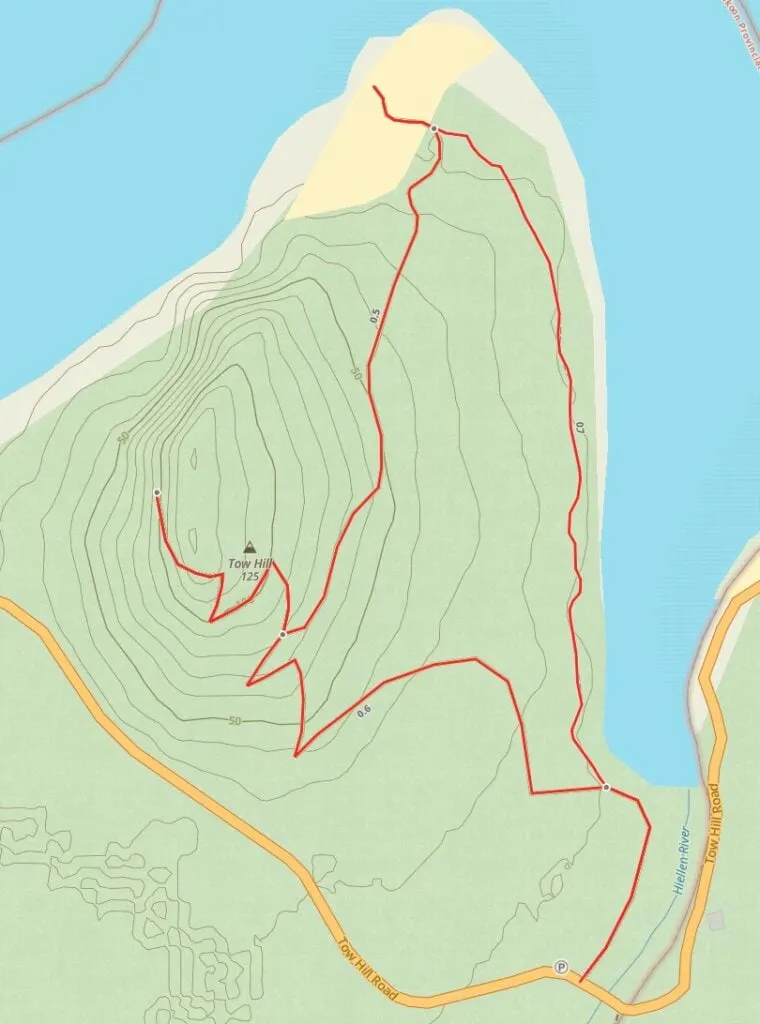
- A Tow Hill Trail Map that I made just for you
- How to get to the trailhead with step-by-step driving drections
- Turn-by-turn hiking directions with lots of photos
This is a sensitive wilderness area. Learn how to Leave No Trace to keep the wilderness wild. Make sure you are prepared by bringing the 10 Essentials. Get ready for adventure with this checklist of things to do before every hike.
Hey there: Some of the links in this post are affiliate links, which means I earn a small commission at no cost to you. Thanks for your support. -Taryn
Why Visit Tow Hill?
The trail to Tow Hill is one of the most popular hikes in Haida Gwaii. It’s an easy hike that leads to great viewpoints of the coastline. The forested trail is also gorgeous with lots of moss, fern, and cedar trees.
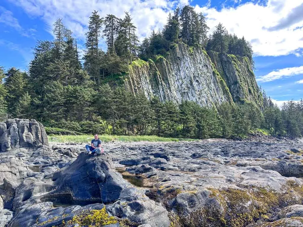
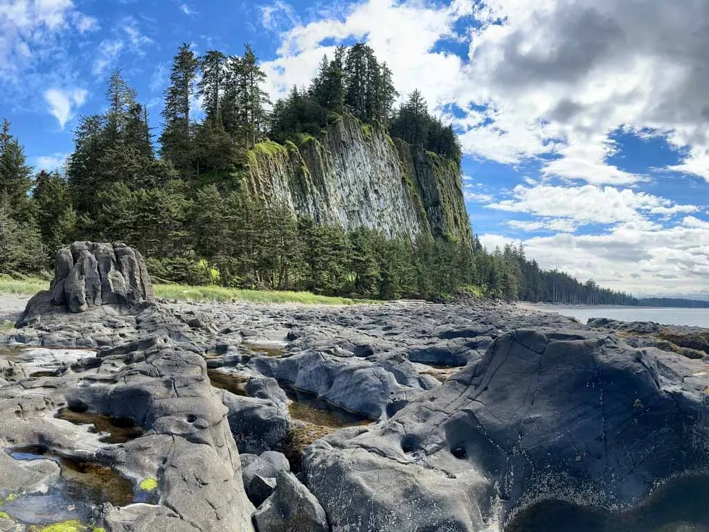
The Blow Hole at the nearby beach is also worth a visit to see the unique rock formations. It is also the best place to take photos of the unique volcanic column formations on the cliffs of Tow Hill.
I think Tow Hill is a must-see for anyone visiting Haida Gwaii. It was one of my favourite stops on my trip.
Indigenous Context
Tow Hill is now officially known as Taaw Tldáaw (pronounced t-ow tl-dow), the original Haida name. The name change was made official in 2022. However, you will still see it referred to as Tow Hill in most places.
In the Haida culture, Taaw is a supernatural being. There are several stories about Taaw and Tow Hill. One story says that Taaw travelled along the coast looking for a place to settle. Once he arrived at the mouth of the Hiellen River, he decided to stay and became Tow Hill.
The same Haida story says that Taaw’s brother was angry with him and sent a whale and a large bird to attack him. That caused rocks to fall from Taaw’s body, forming the rocky beach you see today. The “whale” spouts from the Blow Hole.
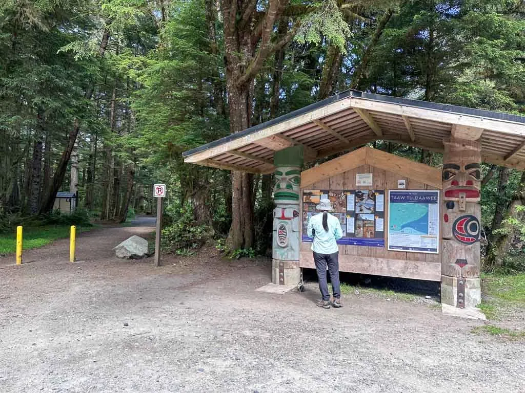
You can read more Haida stories about Taaw on info signs at the trailhead and along the trail.
Tow Hill Geology
The northern part of Haida Gwaii is very flat and marshy. Although Tow Hill is only 125 m (410 ft) tall, it towers over the surrounding landscape. The hill is actually an extinct volcano, formed when lava bubbled up to the surface 2 million years ago.
The unique rock columns you can see on the ocean side of the hill were formed in the hill’s core. But glaciers from the last ice age and the pounding surf have carved the rest of the hill away, leaving the columns exposed.
Trail Stats
Below I’ve got trail stats for the hike to Tow Hill only, the hike to the Blow Hole, and a combo of the two that is my recommended route. As well, here are a few things to know about the hikes at Tow Hill:
Best Time to Go: The trail is best between March and November. You can still hike during the winter months, but expect periods of ice, snow, and frost.
Toilets: There is an outhouse at the trailhead parking area. There are no other toilets on the trail.
Dogs: Dogs are allowed on leash only as per BC Park’s regulations. As well, several dogs have died when off-leash on this trail after they fell off cliffs, so please be careful.
Accessibility: The trail to the Blow Hole viewing platform is wheelchair accessible on smooth gravel and wooden boardwalk. The remainder of the trails include stairs or rock scrambles and are not accessible.
Caution: There are sheer cliffs on this hike. Stay behind railings and avoid the edge.
Tow Hill Only Hike Stats
Below are the stats for an out-and-back hike to Tow Hill only.
Duration: 1 hour
Distance: 2.3 km round trip
Difficulty: Easy/Moderate
Elevation Gain: 120 m
Blow Hole Only Hike Stats
Below are the stats for an out-and-back hike to the Blow Hole only.
Duration: 30 min
Distance: 2 km round trip
Difficulty: Easy
Elevation Gain: 30 m
Tow Hill and the Blow Hole Combo Hike Stats (Recommended Route)
Below are the stats for my recommended loop route that heads to the Blow Hole first, then carries on to Tow Hill before finishing back at the trailhead.
Duration: 1.5 hours
Distance: 3.1 km loop
Difficulty: Easy/Moderate
Elevation Gain: 120 m
Tow Hill and the Blow Hole Trail Map
The trails to Tow Hill and the Blow Hole are easy to follow with signs at every junction. But to help you find your way, I made you a trail map using Gaia GPS, my favourite GPS mapping app. Click through to zoom in and explore.
How to Get to Tow Hill
Getting to Tow Hill is a fairly straightforward 30-minute drive from Masset. Go north on Highway 16 from Masset, which becomes Tow Hill Road north of town. After a few minutes, the road turns to gravel but it is fairly smooth and well-graded, so it is fine for any vehicle. The road heads through a beautiful rainforest into Naikoon Provincial Park.
Pass the entrance to the Agate Beach Campground on your left about 23 km after leaving Masset. Arrive at the trailhead two kilometres later. There is a parking area on the left and an information kiosk. If you cross the bridge over the Hiellen River and arrive at Hiellen Village, you have gone too far.
Click here for Google Maps driving directions.
Tow Hill and the Blow Hole Hiking Directions
From the trailhead, you can choose to hike to either Tow Hill or the Blow Hole. However, my recommended route connects the two so you can complete both hikes in a loop with minimal backtracking. As well, my route climbs the hill from the gentler east side instead of the steeper south side.
The Blow Hole
To start my recommended route, follow the trail past the info board, picnic tables, and outhouse. The first portion of your hike, all the way to the Blow Hole is wheelchair accessible so you will be walking on wide boardwalks.
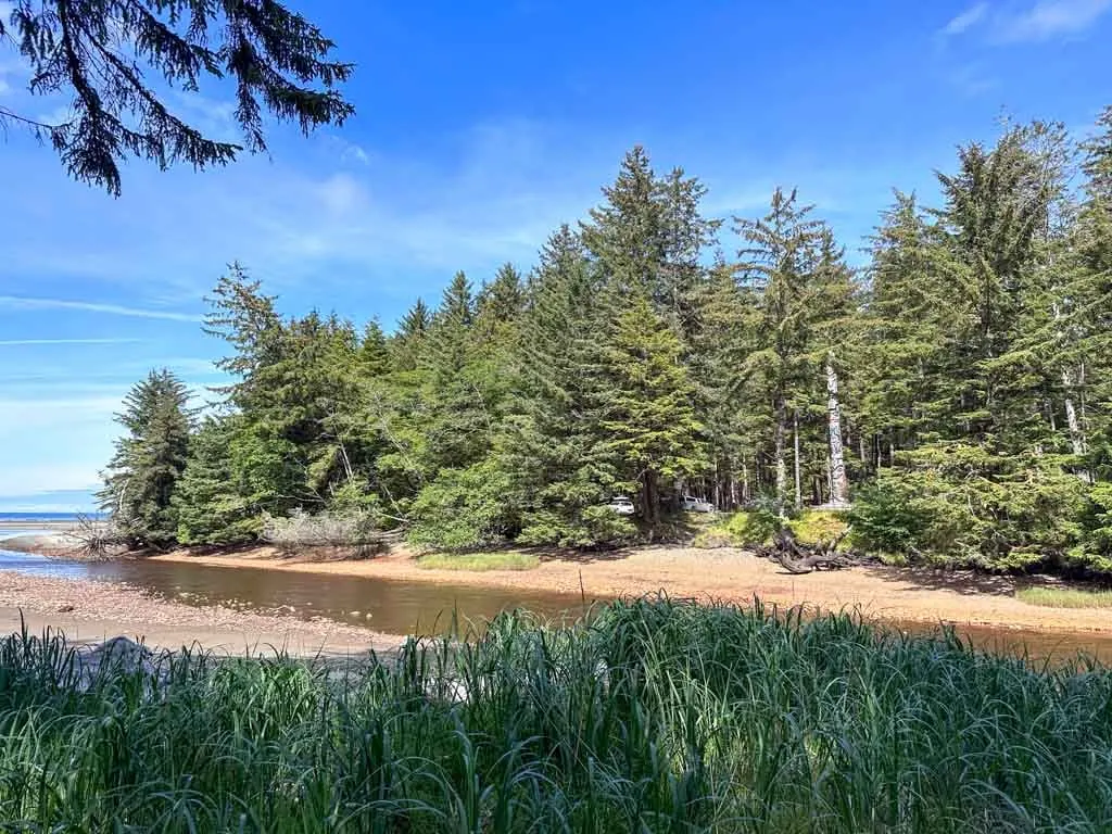
For the first few minutes, the path parallels the Hiellen River. You can look through the trees to Hiellen Village and the huge monumental pole.
After hiking about 200 metres, reach a junction. Your route goes straight to visit the Blow Hole first. The trail on the left is the way you will return from the peak.
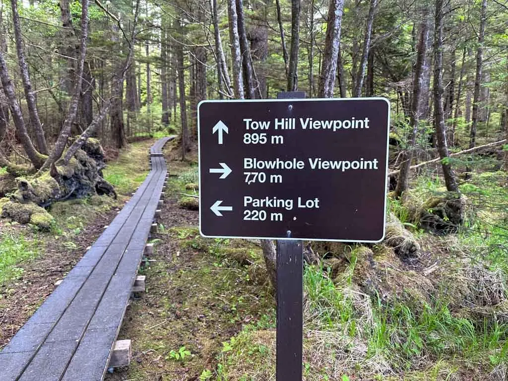
Continue along the smooth wooden boardwalk towards the Blow Hole. Sometimes you can glimpse the coast to your right through the trees. Several benches and info signs give you opportunities to take a break.
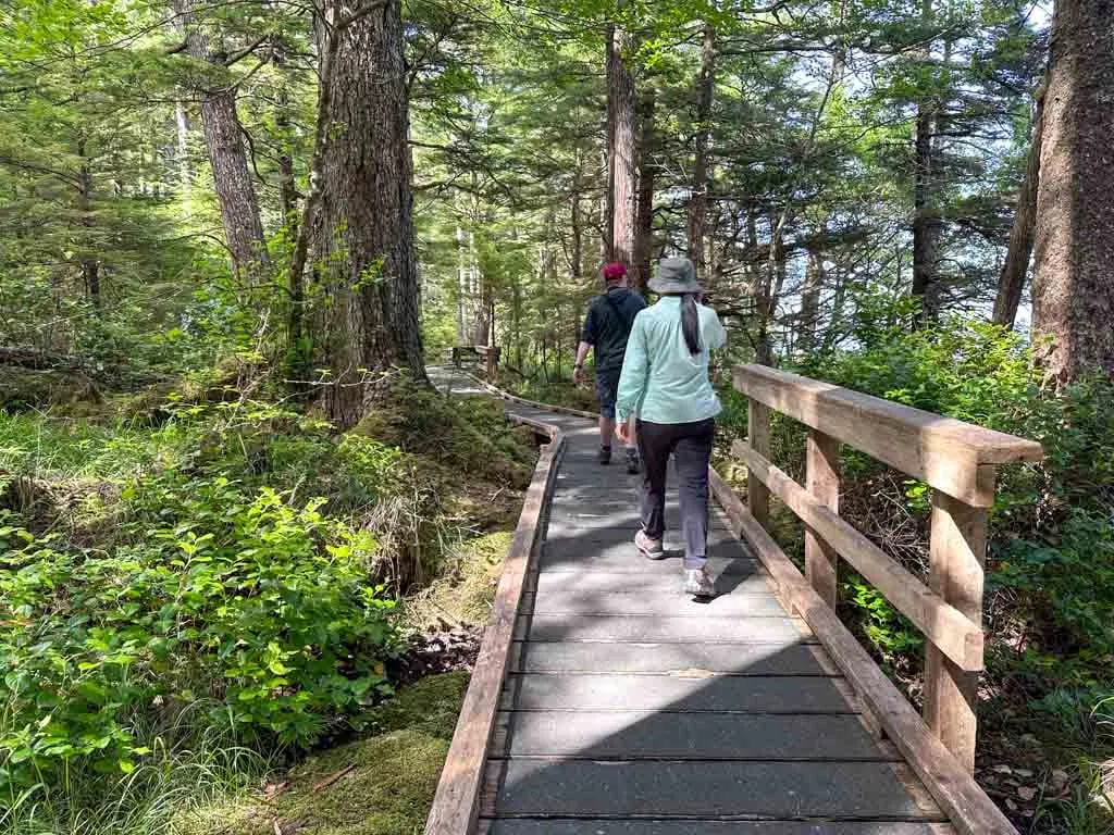
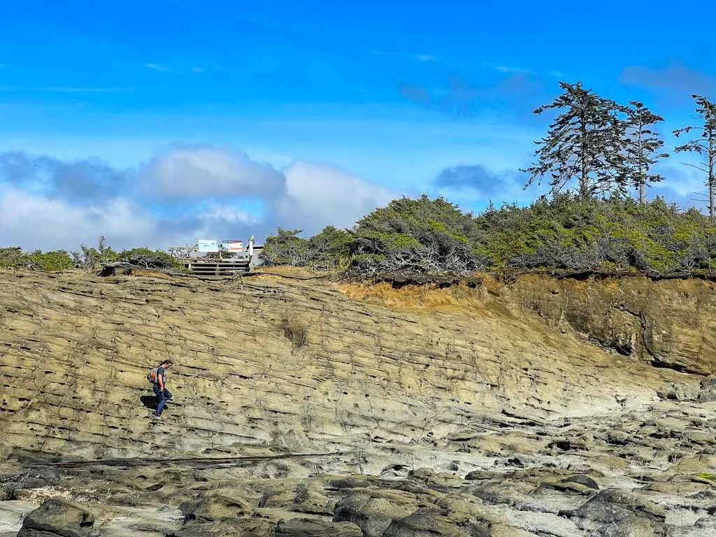
About 900 metres from the start reach another junction. Ignore the left turn for now and continue straight to the Blow Hole. A large wooden platform here provides a great view of North Beach and Rose Spit in the distance. You can scramble across the rocks for more views.
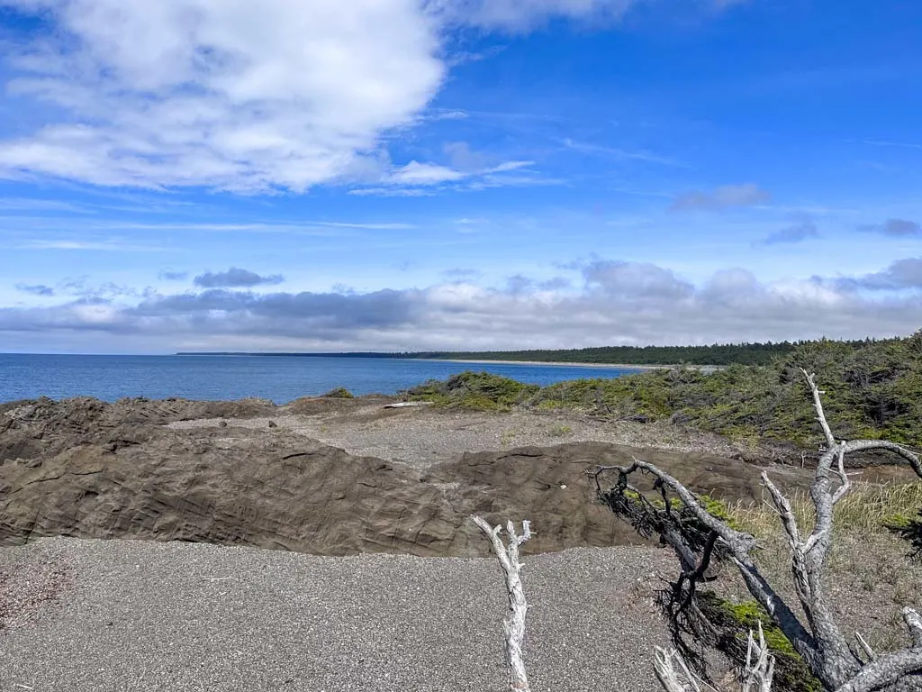
To visit the Blow Hole, either take the wooden stairs or clamber down the rocks to the southwest. The Blow Hole can be hard to spot initially if the tide isn’t right. Listen and look carefully – the splashing of the waves will show you where it is. Tip: Go on a rising tide with a moderate swell for the best splashes!
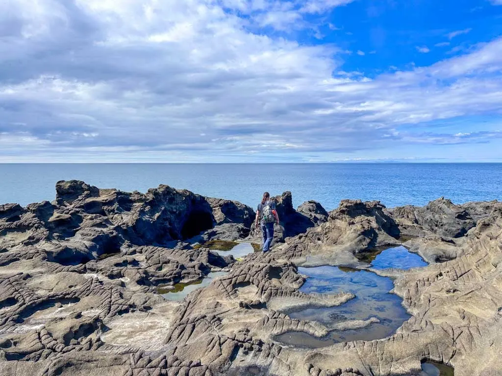
There are also great views of the volcanic cliffs of Tow Hill from here. This was one of my favourite spots on Haida Gwaii. Take some time to explore all the rock formations.
Tow Hill
When have finished enjoying the Blow Hole, retrace your steps back to the last junction and go right. The boardwalk trail climbs gently through the forest, sometimes with the help of a few stairs. You will be thankful for the boardwalks in the boggy and mossy sections which can be very wet.
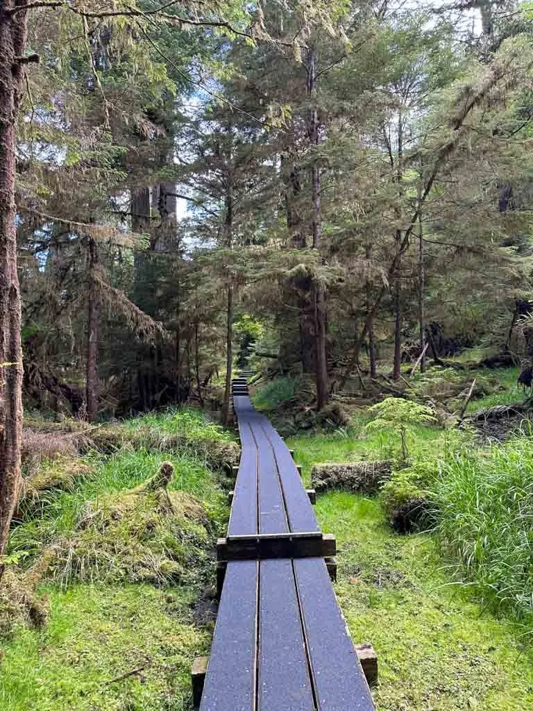
After about half a kilometre of gentle ascent, reach another junction. Turn right to begin the steep climb to the peak. The trail zigzags back and forth up the hill so the grade remains manageable even though it is definitely a workout.
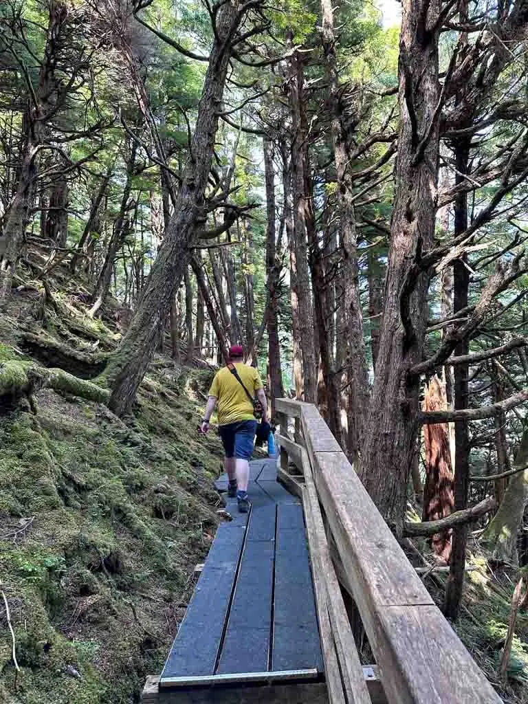
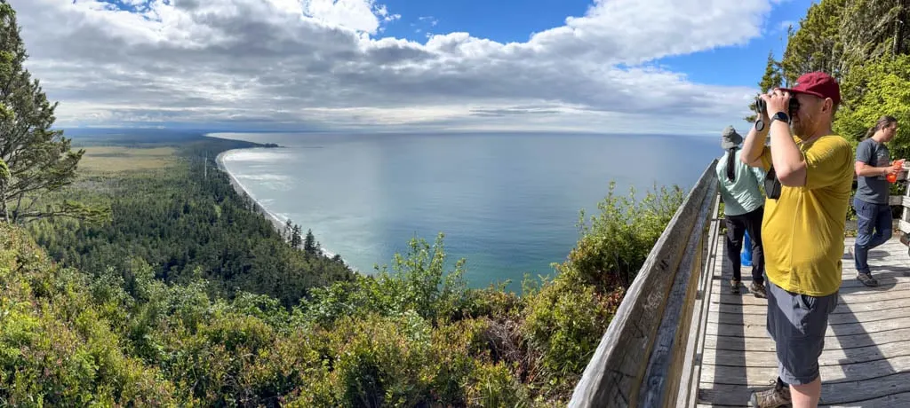
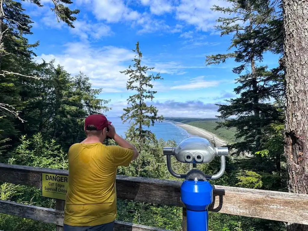
A few minutes from the junction, reach a wooden viewing platform with a telescope. The view of North Beach and Rose Spit from here is incredible, although trees in the foreground do block the view a little bit. This is also a good place to catch your breath.
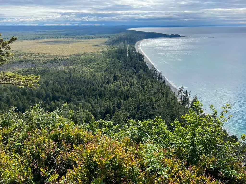
Continue onwards (and upwards) from the viewing platform for the final push up to the summit. The trail curls around to the west and finishes at another viewing platform with a telescope. This one is perched on the side of the cliff and looks west along the beach to Masset. From here, the boggy interior of Naikoon Provincial Park is really prominent.
The true summit of Tow Hill is a few minutes away in the forest. However, there is no trail and it doesn’t have a view. There are also lots of cliffs in the area, so stay on the main trail.
When you are ready to descend, follow the trail back down the hill, past the other viewing platform, to the junction. Go straight down the hill, following the trail and boardwalk through more switchbacks. The path levels out a little bit towards the bottom before finally arriving at another junction.
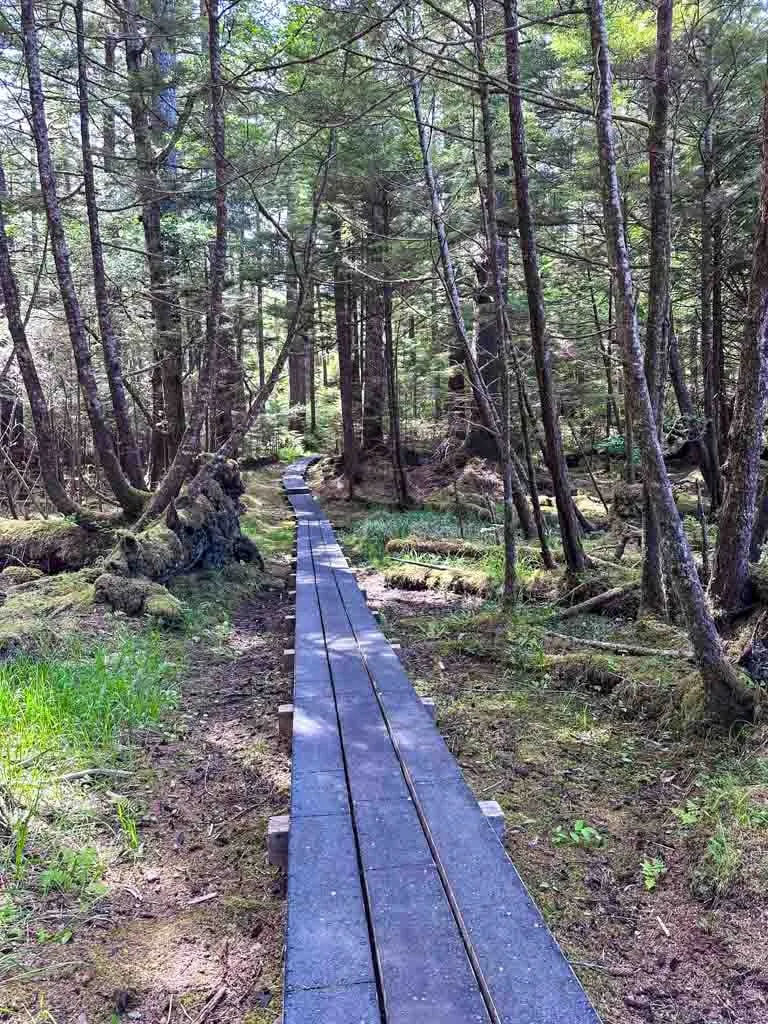
To finish your hike, go right along the boardwalk past the picnic tables and outhouse to the trailhead and parking area.
So that’s everything you need to know about hiking to Tow Hill and the Blow Hole in Haida Gwaii. If you have questions about the hike, leave them in the comments so I can help you out.
READ NEXT:
- Things to Do in Haida Gwaii
- The Ultimate Guide to Gwaii Haanas National Park Reserve
- Pesuta Shipwreck Trail in Haida Gwaii
- Inside Passage Ferry from Port Hardy to Prince Rupert, BC
- 20+ Things to do in Prince Rupert, BC
- Grasslands National Park Travel Guide - February 4, 2026
- The Best (and Worst) Backpacking Meals Reviewed - December 16, 2025
- My Favourite Hiking Gear of 2025 - December 9, 2025

