On Easter weekend we headed to the East Bank trail on Ross Lake in North Cascades National Park in Washington. Apparently Good Friday isn’t a statutory holiday in America so we hoped it wouldn’t be crowded. (Spoiler alert: it wasn’t!)
Our group of seven hikers drove down in a convoy of two cars on the morning of Good Friday with a couple brief stops for groceries and camping permits. Despite our best intentions, we didn’t get to the trailhead at Ruby Arm at the south end of Ross Lake until the early afternoon.
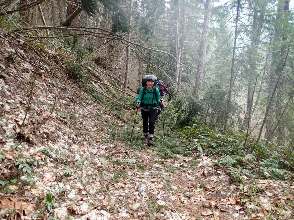
We had 15 kilometres of hiking ahead of us so we were a bit dismayed to find that the trail was covered in blowdown. We knew this trail was seldom travelled in the winter, but there were countless trees to clamber over, under and around as well as piles of smaller branches. We moved as quickly as we could while still trying to clear as much of the brush as we could. All with heavy packs on in the intermittent drizzle.
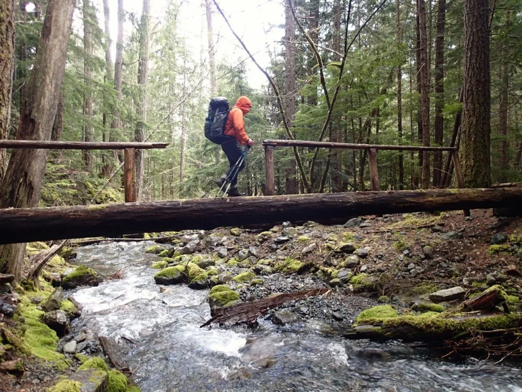
This trail is called the East Bank trail since it follows the east bank of Ross Lake, but we soon discovered that even though the trail follows the shoreline, it is often a few hundred meters inland from the lake. That meant we we walking through the forest (albeit on a fairly flat trail) for about 11 kilometres before getting our first view of the lake! The only highlights of the hike in were the creek crossings: an unbridged crossing of Roland Creek that required a boots-off ford or creative rock hopping and a log bridge with a missing railing over May Creek.
It was after 7pm when we finally rolled into our campsite at Rainbow Point and we were hungry, tired and a bit damp from the drizzle that came and went all afternoon. We quickly started cooking dinner and setting up tents as well as a tarp to serve as a windbreak. It turns out when you camp on a point on a large lake, it gets windy! By the time dinner was done we were all ready for bed.
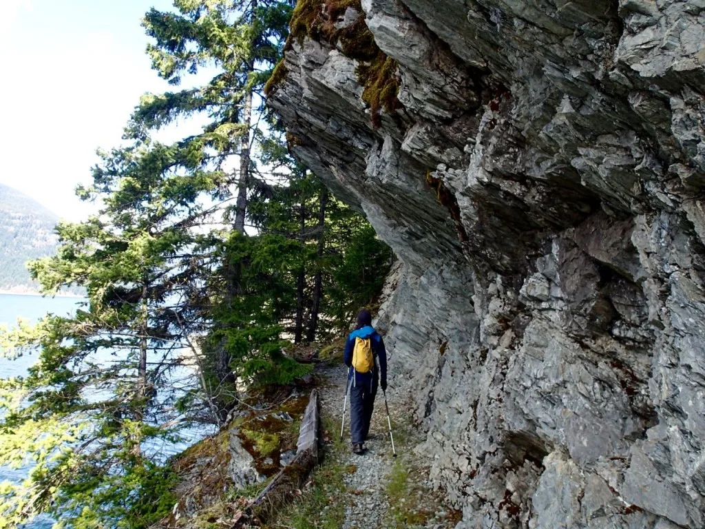
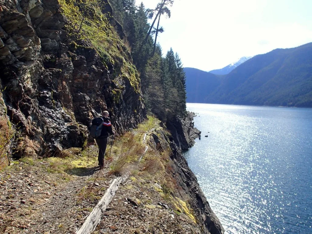
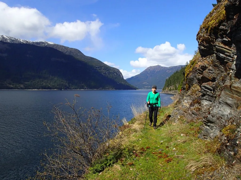
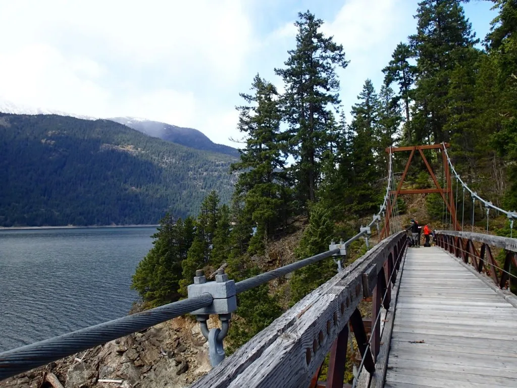
On Saturday morning we all slept in and then made a huge breakfast of pancakes and bacon around a smoky campfire. At the crack of noon we set out on a day hike to the closest landmark: the suspension bridge over Devil’s Creek. Not long after leaving camp the trail rounded a corner, passed under a fallen tree and emerged on a ledge next to the lake.
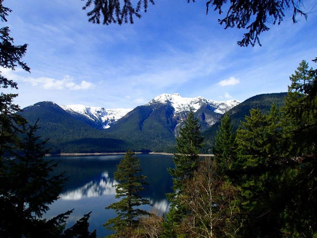
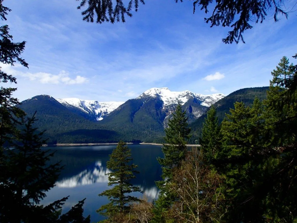
This whole section of trail next to the lake was the reason we had come on this hike. The trail crews that originally built this trail blasted away sections of rock and shored up the footbed of the trail with rocks and timbers to make a ledge right along the lakeshore. The trail twists and turns with the curves of the lake for over a kilometre. It is a beautiful trail especially when the sun is shining the the mountains are freshly dusted with snow. Since the water levels in the lake were low (the lake level is controlled by a dam), the drop off down to the water was quite dramatic.
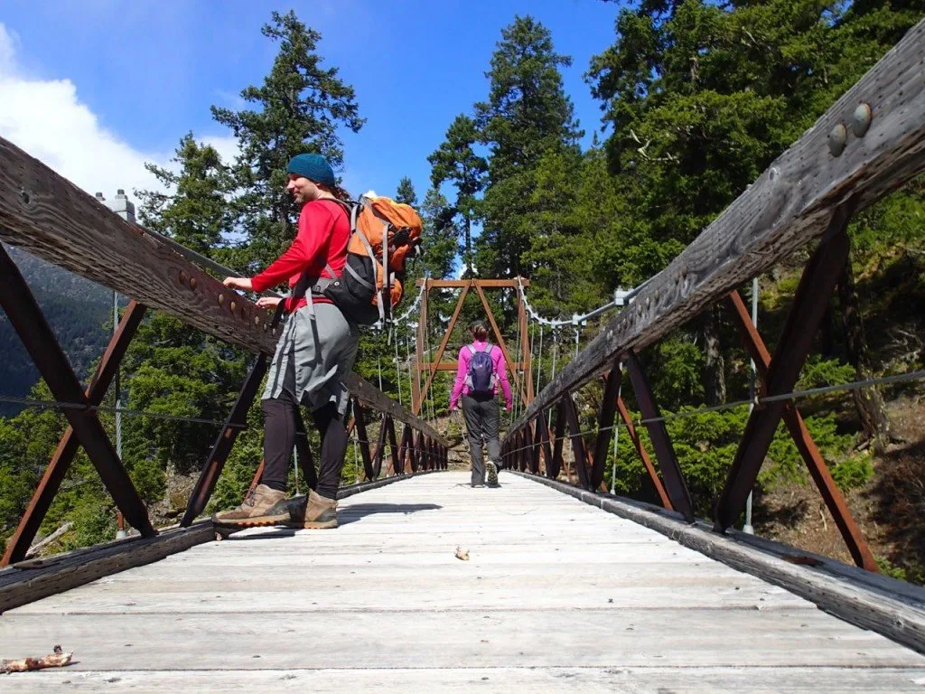
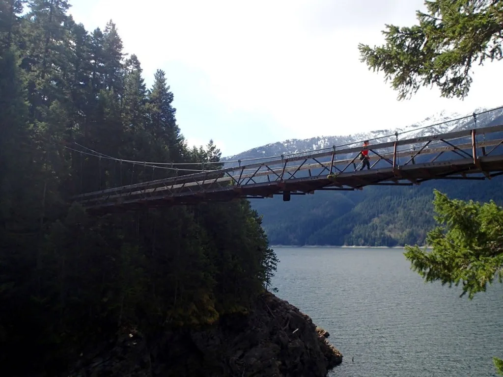
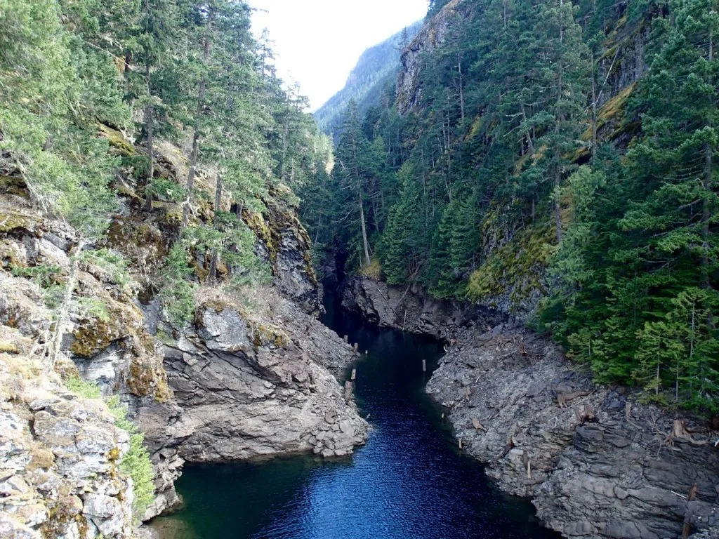
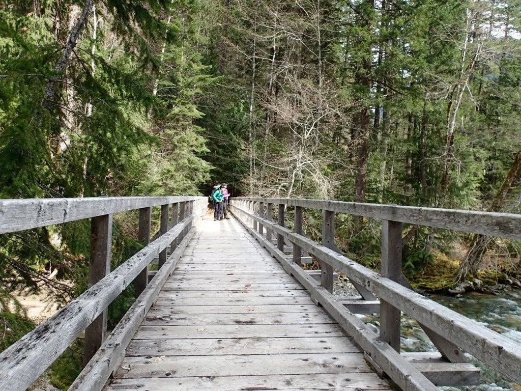
Before we knew it we had reached Devil’s Creek. The bridge spanning the creek was huge and so was the gorge it crosses. Instead of pressing on further we decided it would be better to lay in the sun and eat lunch at the bridge. It was wonderful and relaxing… until we discovered the ticks. Thankfully no one was actually bitten, but Greg and I did find about a dozen ticks on our clothing! So gross!
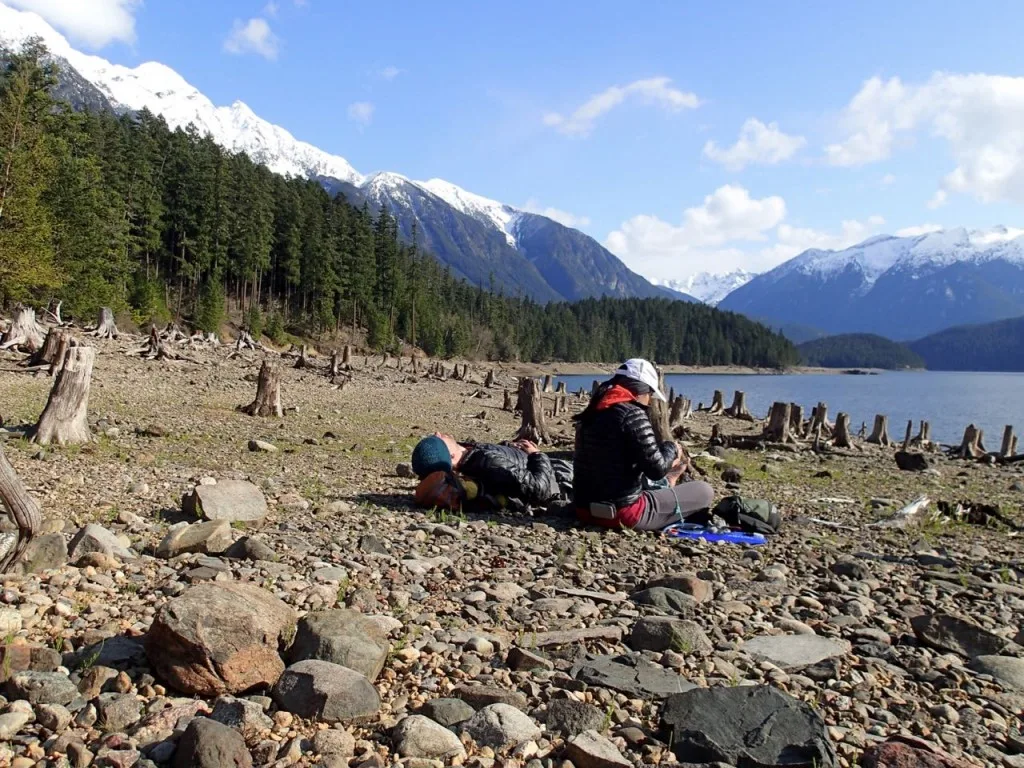
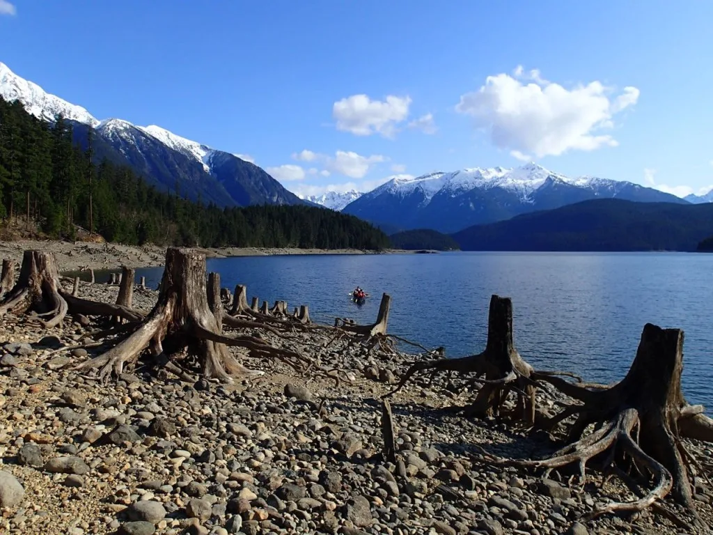
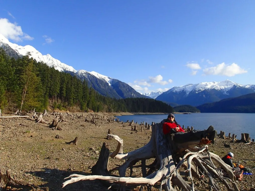
The trip back to camp was quick and soon we were back on the beach at Rainbow Point enjoying the afternoon sun. Since Ross Lake used to be a river valley before it was dammed, the “beach” was actually a forest of sun bleached stumps exposed at low water. We spent a pleasant few hours lounging like lizards in the warm sun and gazing up at the snowcapped mountains. At one point we heard murmuring along the shoreline and were shocked to discover a voyageur canoe with 12 paddlers inside slowly paddling past us. They waved but didn’t stop. It turned out those were the only other people we saw the whole three day weekend!
That night we had a more leisurely dinner and a campfire (and some whiskey too) but still headed to bed on the early side since even without the wind of the previous night, it was cold. On Sunday morning we packed up and headed out on the trail for 15km of forest walking back to the cars. It was a bit faster than the way in since our packs were a bit lighter and since we had already cleared a lot of the brush. I made a game of counting the blowdowns that still blocked our way; the grand total was nearly 50!
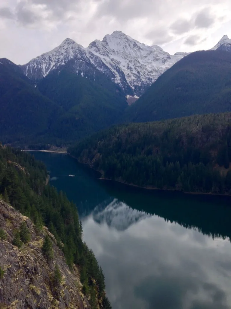
We were back at the cars by the mid-afternoon and were soon on the road back to Canada via the scenic overlook at Diablo Lake, a convenience store for disgustingly wonderful American Doritos featuring so much red dye and the Boundary Bay Brewery in Bellingham for beer (oh and dinner). Ross Lake is often considered to be a great boating destination but I think on this trip we discovered its a great shoulder season backpacking destination too.
If You Go:
If you’re coming from Canada it’s best to do pretty much all of your grocery shopping once you are in the US since import of food is tricky. One of our cars ended up having to go inside for agriculture inspection since they had rice. It was Minute Rice that they had actually bought in the States on another trip, but that didn’t stop the border guards from inspecting it!
You need to get a permit for this trip and any backpacking trip in the North Cascades. You can get them at the ranger station in Marblemount. If you go in the early season like we did the station isn’t actually open but you can fill out a permit at the kiosk on the front porch and drop it in the drop box.
Speaking of early season, if you choose to do this trip in the spring like we did there are a few things to be aware of: The trail receives little (or no) maintenance before Memorial Day in late May so you will have to deal with blowdowns or washouts. We also found that the latches on two of the three bear lockers at the campsite we stayed at were broken (something that the rangers will likely fix once the busy season starts). Thankfully the last one worked as we didn’t want to mess around with trying to rig up a hang.
The water levels of the lake are lower in the winter and spring (they fill up the lake like a giant bathtub so that everyone can play on the 4th of July). This means that the shoreline looks weird, the docks are out of the water and getting drinking water from the lake is a bit of a trek.
Another issue for early season travellers is that this trail is accessed by highway 20 which is gated in winter at Ross Dam about 5 miles west of the trailhead for this hike. When the highway is closed (as it usually is until late May) you can walk the highway or the Happy Panther trail from the gate to the trailhead. We lucked out and the highway opened the day we drove it (low snow years are good for something!)
Finally, I know I already mentioned it, but I gotta talk about it again: the ticks. In spring and summer the ticks come out. They are the worst in sunny areas that are brushy. Tuck your pants into your socks and your shirt into your pants. You look like a huge dork but then you don’t get gross tick bites. Check yourself for ticks periodically and remove any ticks that have bitten you with tweezers. You can get more info about tick bite prevention and tick removal from the BC Government. Ticks gross me out a lot, but with the proper precautions, hiking in an area that has ticks doesn’t have to be stressful.
- Lake O’Hara Packing Lists for Hikers and Campers - April 25, 2025
- BC Parks Day Passes 2025 – Everything You Need to Know - April 24, 2025
- Best Women’s Hiking Pants (Picks for Every Body Type) - April 21, 2025

